Images
-

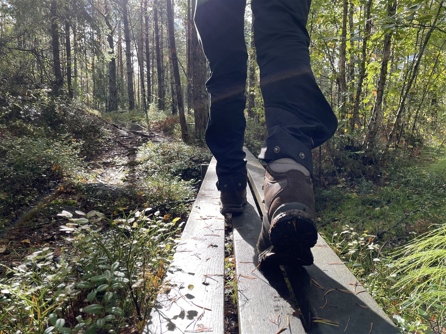
Vandring på spång
7. Skarholmen-Moralund, 13 km
Suitable for: The route suggestion suits those who want to hike close to Uppsala, but still through real forests – and those who want to take an overnight route with two fairly short day stretches. Travelling to and from the trail by public transport works fine.
Distance: 13 kilometres Start: Skarholmen, Uppsala End: Moralund, southeast of Uppsala Facilities: The Lyssnaängsbadet swimming spot, the Sunnerstabadet swimming spot, the Sunnerstaåsen with barbecue and break spot, Lunsentorpet with overnight cottage, shelter, and tent spots, the Fläktanstugan cottage with fireplace and benches Water: Hand pump by Lunsentorpet, available all year round Terrain: Easy-to-walk paths along Lake Mälaren, uneven forest paths through Lunsen, some tarmac Nature type: Mixed forests with lakes and smooth rocks in Lunsen
Out of the city, into the deep Lunsen forest. The Upplandsleden Trail’s first stretch is popular. The hike takes you along paths and foot-bridges, and passes oases Lunsentorpet and Fläktanstugan. By Lunsentorpet, there are good spots to pitch a tent in the meadow. The Lunsen forest is a bit hilly with smooth rocks and small marshes, so the hike takes its time.
Part of the Upplandsleden Trail: The final part of Section 1:0, all of Section 1, and the first part of Section 2.
Find itThe route suggestion starts in southern Uppsala.
By car: From road 255, turn off at Flottsund, where a sign says ‘Uppsala 5’. Drive across the River Fyrisån, and take the first road to the left, towards Skarholmen. After just under two kilometres, turn left again, still towards Skarholmen. There is a parking area 200 metres down the road.
By bus: The bus stop nearest to the start is called Lyssnavägen. At the end, you’ll get to bus stop Moralund.
Categories
-
 Hiking
Links
Contact
Email address
Upplandsstiftelsen
Organization logotype
![]()