
-
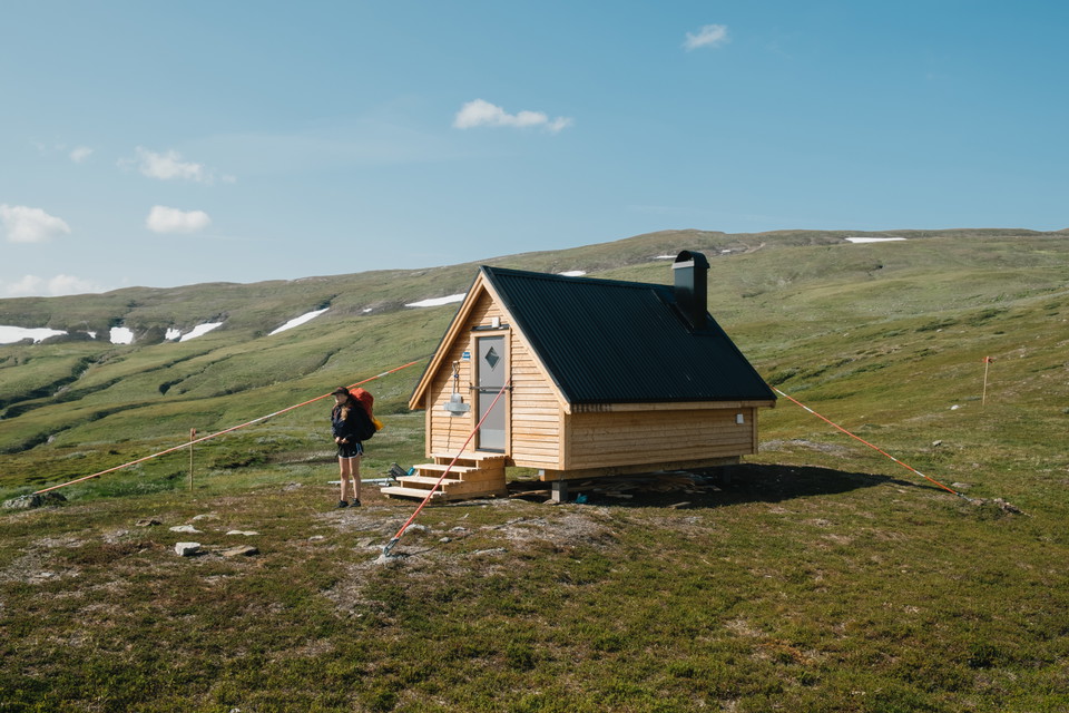
Deavna rastskydd.
Photo: Oskar Karlin -
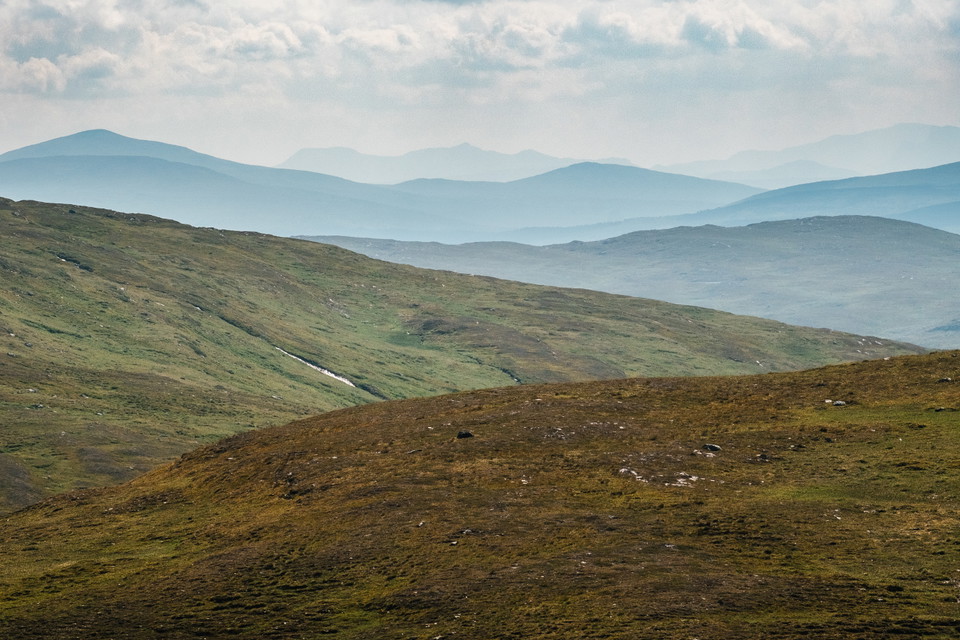
Södra Storfjället.
Photo: Oskar Karlin -
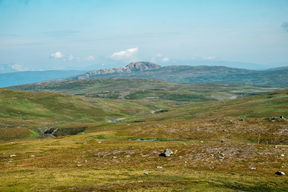
Atoklimpen från Gahpsvaajja.
Photo: Oskar Karlin -
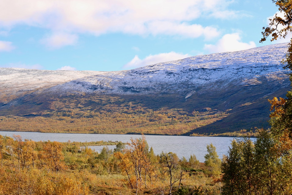
Arevattnet.
Photo: Emma Johansson -
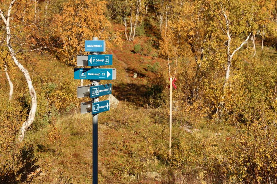
Photo: Emma Johansson
Atoklimpen – Arevattnet, Lapplandsleden
- Hiking
- County: Västerbottens län
- 6346.49 km away from you
Trail details
- Length 20.7 km
Actions
Description
There is a lot to see around Atoklimpen and it might be worth stopping for a day to walk the trail around the mountain.
Atoklimpen-Arevattnet is a very windy stretch. Good tent sites are available in several places where the trail runs close to Risbäcken, for example about 500 m after crossing Risbäcken from Atoklimpen. Even towards Gahpsjohkka, about 5 km further on, there are good and smooth places by the stream ravine.
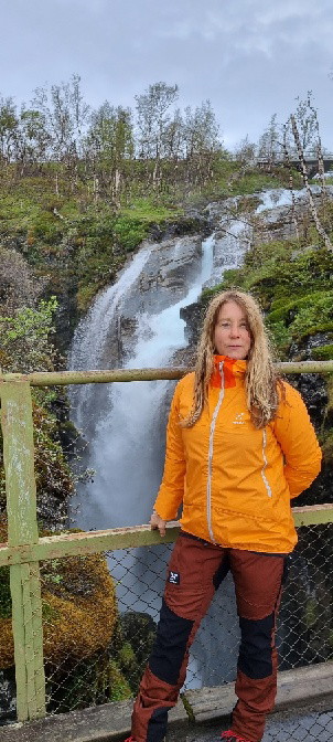
When you have passed the highest point at Deavna (about 1,100 m above sea level), you reach the Deavna picnic shelter, about 12 km from Atoklimpen. You will then find yourself on a rocky outcrop with views of the waiting mountain ridges ahead. Here it is dry and nice to set up a tent. An alternative is to continue a bit south of the Gahpsjohkka waterfall up on the hill just south of, or near, the Noelejohkkes waterfall.
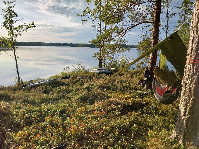
At the clear blue lake Arevattnet, 20 km from Atoklimpen, there is a cabin with four beds. If you want to camp, there are nice and smooth moors a few hundred meters southeast of the cottage on the shore of Lake Arevattnet.
**Approximate time to hike the route: 2-3 days
Activities And Facilities
- Hiking
Contact
Email address
Länsstyrelsen Västerbotten
Organization logotype

Please be aware that some of these texts have been automatically translated.
I’ve been here 2

I want to go here 23

Questions & Answers
Ask a question to other Naturkartan users.
Reviews
0 reviews
- 5 :
- 4 :
- 3 :
- 2 :
- 1 :
Users images
No user images yet. Be the first to share!
