
Rävfallsstugan - Ammarnäs, Kungsleden
- Hiking
- County: Västerbottens län
- 6386.37 km away from you
Trail details
- Length 21.0 km
Actions
Description
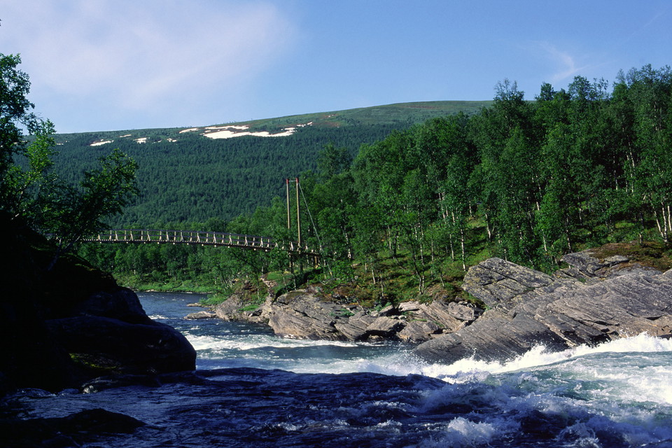
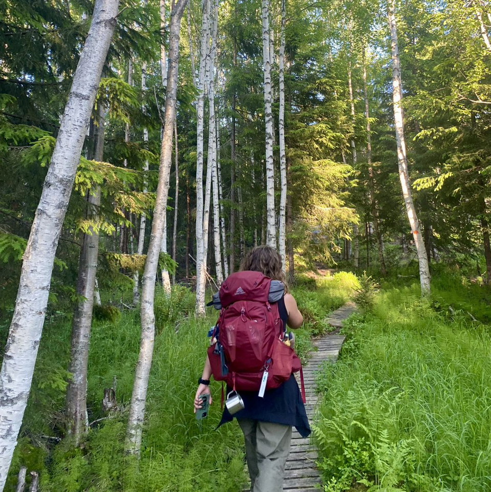
After the bridge over the Vindelälven river, the trail climbs steeply through the mountain birch forest. The trail follows Vuotsbäcken and then comes up to a small plateau. Here the trail turns sharply and climbs upwards. The forest gradually thins out and the views widen. The trail turns around a large hillside marsh and then goes up towards Stuore Jåppe. On the other side of the ridge you can see the mighty peaks of Ammarfjället.
Then it goes down towards Björkskogen in Marsivaggie. There is a rich bird life here with many different waders and waterfowl. The trail passes over the hill Njallavaratje and arrives at Gieråive. It then continues down a short steep hill to the birch forest and continues on a headland between two lakes. The trail then goes gently uphill through dry birch forest. The high mountain panorama over the lakes is very beautiful.
Further on, at Småfjällen, you have another beautiful view. Down at the edge of the forest there is a fork in the road, where you can turn towards Karsbäcken. However, the King's Trail continues downhill past Näsbergstjärnen. There is lush vegetation on the slope down towards Ammarnäs. You arrive at Näsberget's slalom slopes where there is parking.
The trail is unmarked through the village of Ammarnäs. The next stretch towards Aigertstugan continues on the other side of Tjulån. In Ammarnäs there are several accommodations and restaurants.
Time: 8-10 hours
Activities And Facilities
- Hiking
Communications
Ammarnäs can be reached by bus from Umeå, Vännäs or Sorsele, which you can reach by train. Flights go to Hemavan where you can take a bus to Ammarnäs.
Contact
Email address
Länsstyrelsen Västerbotten
Organization logotype

Please be aware that some of these texts have been automatically translated.
I’ve been here 9


I want to go here 28


Questions & Answers
Ask a question to other Naturkartan users.
Reviews
0 reviews
- 5 :
- 4 :
- 3 :
- 2 :
- 1 :
Users images
No user images yet. Be the first to share!
