
-
Längst Upplandsleden -
-
-
-
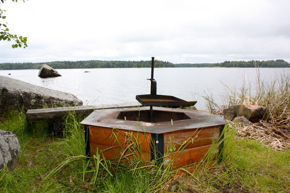
Rastplats vid Vällen
The Uppland Trail, section 9, 8 km
- Hiking
- County: Uppsala län
- 6810.03 km away from you
Trail details
- Length 8.0 km
Actions
Description
Activities And Facilities
- Hiking
Surface
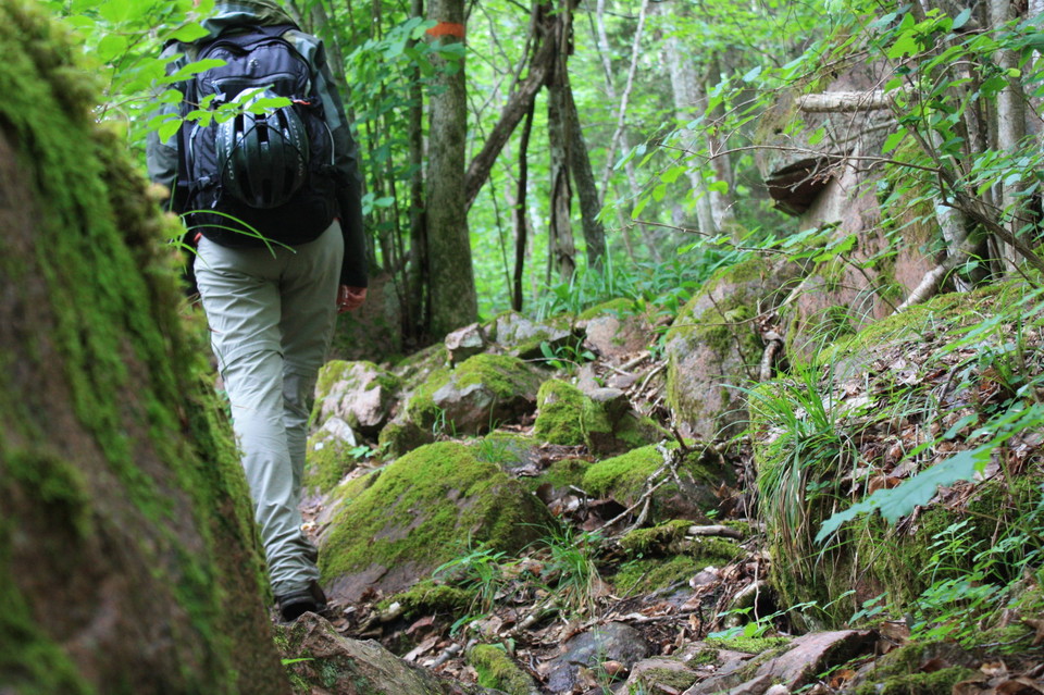
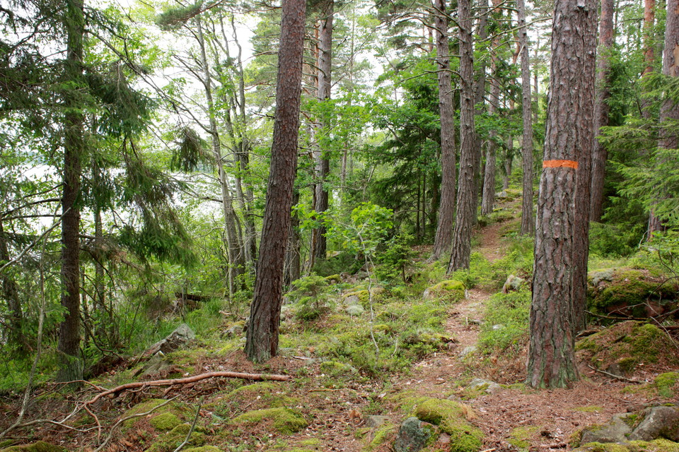
One of the Upplandsleden's bumpiest stretches with many stones and roots. Otherwise flat terrain
Parking
Parking is available at Pansarudden where the stage starts. It is not possible to get to the end of the stage by car.
Communications
There is a bus stop in the middle of the route at Kasbol, where Upplandsleden crosses Hallstaviksvägen.
Directions
Pansaruddens nature reserve is located 9 km northeast of Knutby. From road 288, turn off towards Hallstavik on road 661 just east of Gåvsta. 2.5 miles later you pass over Vällen and a couple of kilometers further on you turn right towards Vällnora and Bennebols bruk. After 4 km you will come to the northern parking lot in Pansaruddens nature reserve.
Contact
Email address
Upplandsstiftelsen
Organization logotype

Please be aware that some of these texts have been automatically translated.
I’ve been here 32






I want to go here 42







Questions & Answers
Ask a question to other Naturkartan users.
Reviews
Users images
No user images yet. Be the first to share!


Mycket dålig led. Svårframkommlig på flera ställen och dåligt skött med markeringar på vissa ställe som gör att du inte kan följa leden. Skulle inte rekommendera någon att vandra denna etapp om du inte söker någon riktigt jobbig vandring. Liknar knappt en stig på flera ställen, borde inte få kallas för vandringsled i sitt nuvarande skick. Jag har många års erfarenhet av avancerad vandring och denna sträcka är något av det sämsta jag sett.