


Roslagsleden Stage 4 Toftesta holme-Domarudden
- Hiking
- Running
- Trail running
- Near parking
- Near Public Transport
- Near toilet
- County: Stockholms län
- 6832.86 km away from you
Trail details
- Length 19.6 km
- Time 4 h 53 min
- Difficulty Blue — medium
Actions
Currently
Beavers thrive in the area, their dams sometimes cause flooding that makes it difficult for hikers on the Roslagsleden trail. It can be difficult to get to the Trehörningen rest area in dry shoes.
Description
Activities And Facilities
- Running
- Hiking
- Trail running
Accessibility
- Near parking
- Near Public Transport
- Near toilet
Facts
Rest areas
Lilla Harsjön Shelter, tent site, fireplace, benches, outdoor toilet.
Domarudden motionsspåret 10 km Shelter, fireplace.
Domarudden Shelter, fireplace, firewood, benches.
Trehörningen Shelter, fireplace.
Drängsjön Shelter, fireplace
Domaruddens badplats Shelter, fireplace, barbecue hut, firewood, benches.
Drinking water
Domarudden Outdoor water tap. Available all year round, 24 hours a day.
Toilet
Lilla Harsjön Outdoor toilet. Available in summer.
Domarudden Available all year round.
Bath
Toftesta holme Swimming area with sandy beach, bridge, ramp, toilet.
Lilla Harsjön Natural bathing area from cliffs.
Domarudden outdoor area Swimming area with sandy beach, shower, changing room, sauna. Available all year round weekdays during the day.
Surface
Forest roads, paths and exercise tracks.
Hills
Slightly hilly terrain.
Vegetation
Beavers thrive in the area and their dams sometimes cause flooding that makes it difficult for hikers on the Roslagsleden trail.
Parking
Domarudden Max 24 hours during weekdays, no time limit on weekends.
Communications
Public transport SL-Storstockholms lokaltrafik
Directions
Nearest bus station at stage start: Össeby-Garns kyrka
Closest bus station at the end of the stage: Solskiftesvägen, 3 kilometres from Domarudden. Summertime there is a bus all the way to Domarudden.
Regulations
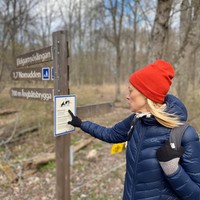
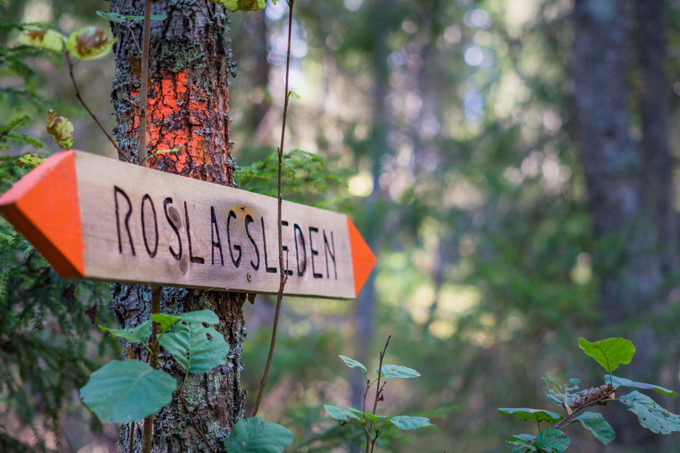
The trail is marked by a band of orange painted on the trees. Occasionally signposts also guide the way and give distances. You´ll find an information board at the start and end of every section.
As a hiker, you have a responsibility to be considerate and helpful to others who share the trail with you and to find out about local regulations that apply where you want to hike.
When you are in the countryside along the Roslagsleden trail, the Right of Public Access applies, which means both obligations and rights for you as a hiker.
Take your trash home with you.
Preferably use the designated toilets and restrooms along the trail. If you need to relieve yourself in nature, move away from the trail and rest areas and choose a spot far from watercourses. Dig a hole, relieve yourself, cover the hole. Bring toilet paper and wipes home in a plastic bag.
Remember to only light fires in official fireplaces. Do not start a fire if there is a fire ban. Here you can find out if there is a fire ban or in the app Brandrisk ute.
Respect that you are walking on someone else's land and that there may be rational agriculture and forestry along the trail.
Along the coast and in some lakes and rivers along the Roslagsleden trail, fishing is permitted if you have a fishing license. You can buy a fishing license online.
The Roslagsleden trail passes several nature reserves with protected nature where special rules apply. You can read more at Naturvårdsverket (The Swedish Environmental Protection Agency) and Länsstyrelsen (County Administrative Board).
On the second stage of Roslagsleden, you are hiking nearby Bromseby nature reserve and Exerman-Hersby nature reserve, and through Trehörningsskogens nature reserve och Domarudden nature reserve with special regulations.
Downloads
Please be aware that some of these texts have been automatically translated.
I’ve been here 59











I want to go here 71









Reviews
4.1
6 reviews
- 5 :
- 4 :
- 3 :
- 2 :
- 1 :
Questions & Answers
Ask a question to other Naturkartan users.
Users images
Share your photos of the place!







Fel i appen och på hemsidan. ”Hitta hit” länkarna (Google Maps och Apple Maps) är fel - leder till slutet på etappen (Domarudden), istället för till början (Lövhagen). Detta är rapporterat, men har inte korrigerats.