
Kristinefors, startplats
- Entrance
- Rest area
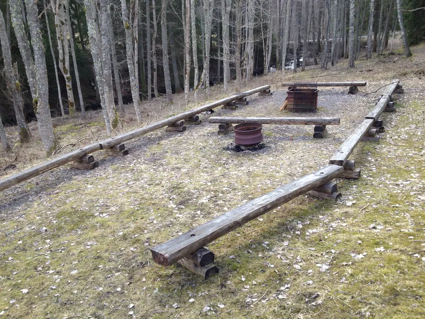
- Firesite
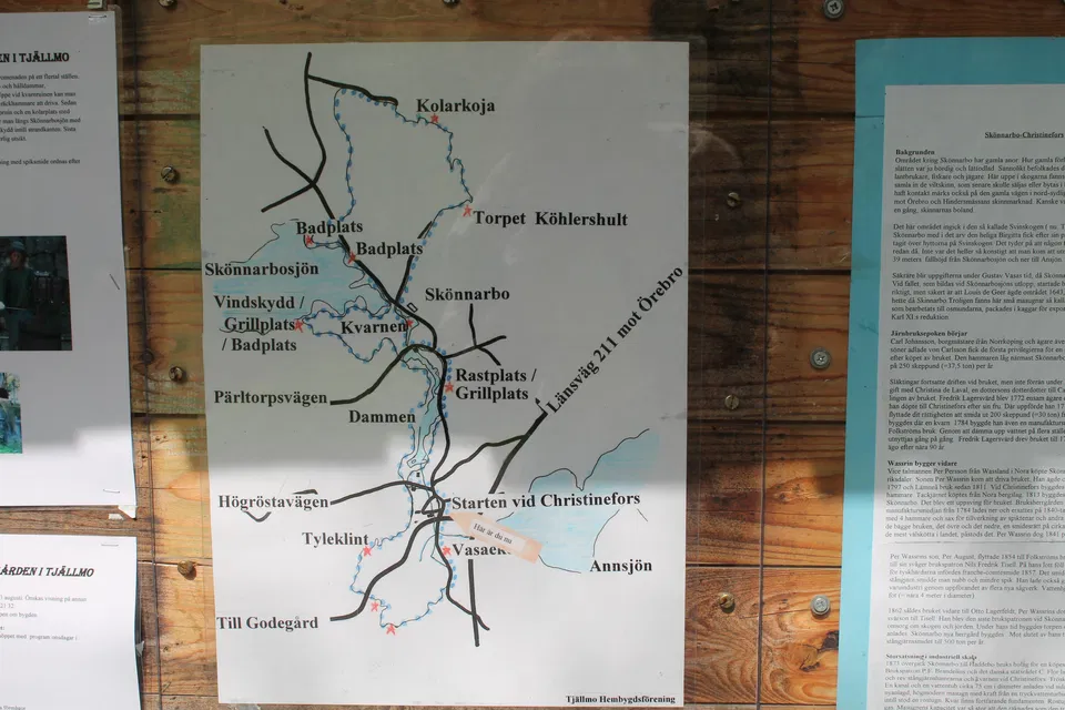
- Information
- Parking
- County: Östergötlands län
- 6734.83 km away from you
Actions
Description
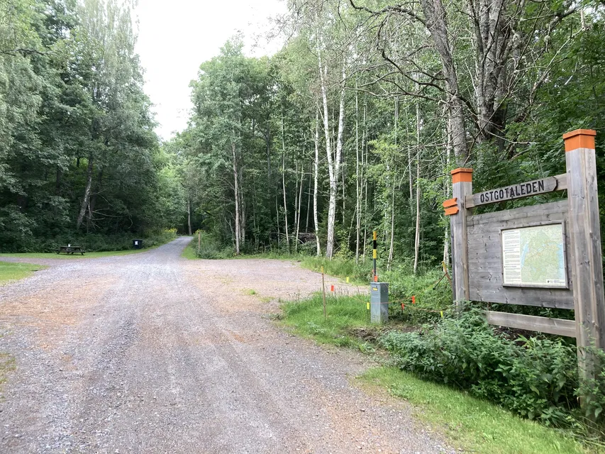
The starting point Kristinefors is located about seven kilometers north of Tjällmo. From here you can reach the following stages of Östgötaleden:
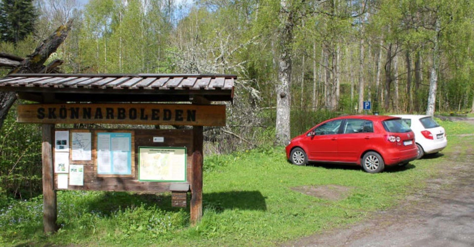
NOTE! At the start of the hiking trail in Kristinefors, there are sometimes not enough parking spaces. While waiting for a good solution, we ask you to park along the road opposite the parking sign. The road up to the private house must not be blocked and private plots must not be used for parking and hiking. We ask everyone to show consideration for the residents in the area and stick to the route of the trail.
(updated 2023-12-11/as)
Activities And Facilities
- Rest area
- Firesite
- Information
- Entrance
- Parking
Contact
Address
Välkommen till Östgötaleden, 150 mils vandring i Östergötland!
Email address
Kontakt Östgötaleden
Organization logotype

Please be aware that some of these texts have been automatically translated.
I’ve been here 1

I want to go here 2

Questions & Answers
Ask a question to other Naturkartan users.
Reviews
0 reviews
- 5 :
- 4 :
- 3 :
- 2 :
- 1 :
Users images
No user images yet. Be the first to share!
