New!

Now you can share photos on Naturkartan! 📸

Read more
  • Bokskog
    Bokskog
    Photo: Fredrik Neregård
  • Utsikt mot Hästholmen från Omberg mellan Ellen Key och Almelyckan.
Etapp Ödeshög-Stocklycke, Signaturled.
Ödeshög.
    Utsikt mot Hästholmen från Omberg mellan Ellen Key och Almelyckan.
  • Omberg utsikt Tåkern, Östgötaslätten, Dags mosse från Renstadfällan.
Ödeshög
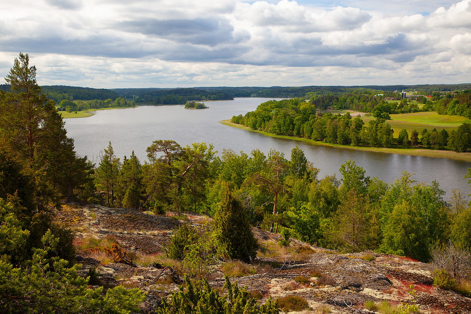
    Utsikt från Renstafällan över Tåkern och Östgötaslätten.
  • Skogsstig Omberg.
Etapp: Borghamn - Alvastra.
Ödeshög.
    Leden följer en fin skogstig på Omberg.
  • Ramslök Omberg.
Etapp Borghamn-Alvastra.
Ödeshög
    Leden kantas av ramslök.
  • Bokskog Omberg.
Etapp: Borghamn-Alvastra.
Ödeshög.
    Bokskog
  • Bokskog Omberg.
Etapp: Borghamn-Alvastra.
Ödeshög.
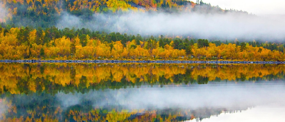
    Bokskog i höstskrud
  • Alvastra klosterruin
    Alvastra klosterruin
  • Skogsstig Omberg.
Etapp Borghamn-Alvastra.
Ödeshög.
  • Blåsippor längs Östgötaleden på Omberg.
Etapp Borghamn Strand - Alvastra, Ödeshög.
    Blåsippor längs Östgötaleden på Omberg.
  • Leden går genom beteshage vid Makersbergen, Omberg.
Etapp Borghamn Strand - Alvastra, Ödeshög.
    Leden går genom beteshage vid Makersbergen, Omberg.
  • Vitsippor och ramslök Omberg.
Etapp Borghamn-Alvastra.
Ödeshög
    Vitsippor och ramslök på Omberg.
  • Vindskydd Makersbergen med fin utsikt över Östgötaslätten och Tåkern
    Vindskydd Makersbergen med fin utsikt över Östgötaslätten och Tåkern
    Photo: Fredrik Neregård

[Ödeshög] Borghamn - Alvastra EN

  • Hiking
of 5 stars

Trail details

  • Length 14.5 km
  • Difficulty Blue — medium

Actions

  • Directions

Description

14.3 kilometres, 3–4 hours.

Accommodation: Omberg Turisthotell (https://ombergsturisthotell.com)

This stage runs on the eastern side of Omberg and offers extensive views of the Östgöta plain and the expanse of the famous birding lake, Tåkern.

The route runs along paths and a short stretch on a dirt road. It is an easy hike through pastures, meadows and beech forests.

You pass several fine viewpoints, the first at Marberget, the perfect spot to take a break and enjoy the view of the southern parts of Omberg, the giant oaks at the foot of the mountain and Lake Vättern, whose surface is 125 metres below the lookout point. The next view of the plain is at Makersbergen, where there is a high shelter with a fireplace and a fine view of the Dagsmosse.

The hike continues on forest trails that make their way down towards Alvastra monastery ruins and Omberg tourist hotel.

LIVESTOCK GRAZING

(2022-08-31/eb)

Weather forecast (at 12:00)

Loading…

Get here by public transport

Activities And Facilities

  • Hiking

Downloads

Contact

Address

Välkommen till Östgötaleden, 150 mils vandring i Östergötland!

Email address

Kontakt Östgötaleden

Please be aware that some of these texts have been automatically translated.

I’ve been here 5

I want to go here 6

Reviews

—

0 reviews

of 5 stars

5 :
0.0%
4 :
0.0%
3 :
0.0%
2 :
0.0%
1 :
0.0%

Questions & Answers

Ask a question to other Naturkartan users.

Users images

Share your photos of the place!

Naturkartan

Open this in the app