
Stage 7 PERSHYTTAN – MOGETORP
- Hiking
- Near Public Transport
- County: Örebro län
- 6677.85 km away from you
Trail details
- Length 15.0 km
- Difficulty Blue - medium
Actions
Description
Activities And Facilities
- Hiking
Accessibility
- Near Public Transport
Facts
Length: 15 km
Time: 4 h
Difficulty level: 2
Activities: Swimming, horseback riding, canoeing, skiing, fishing, cycling
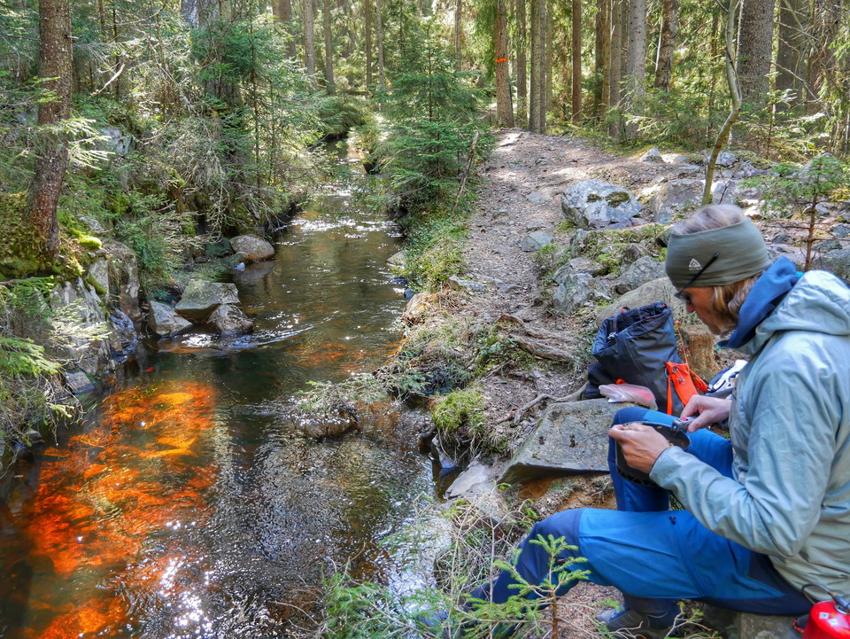
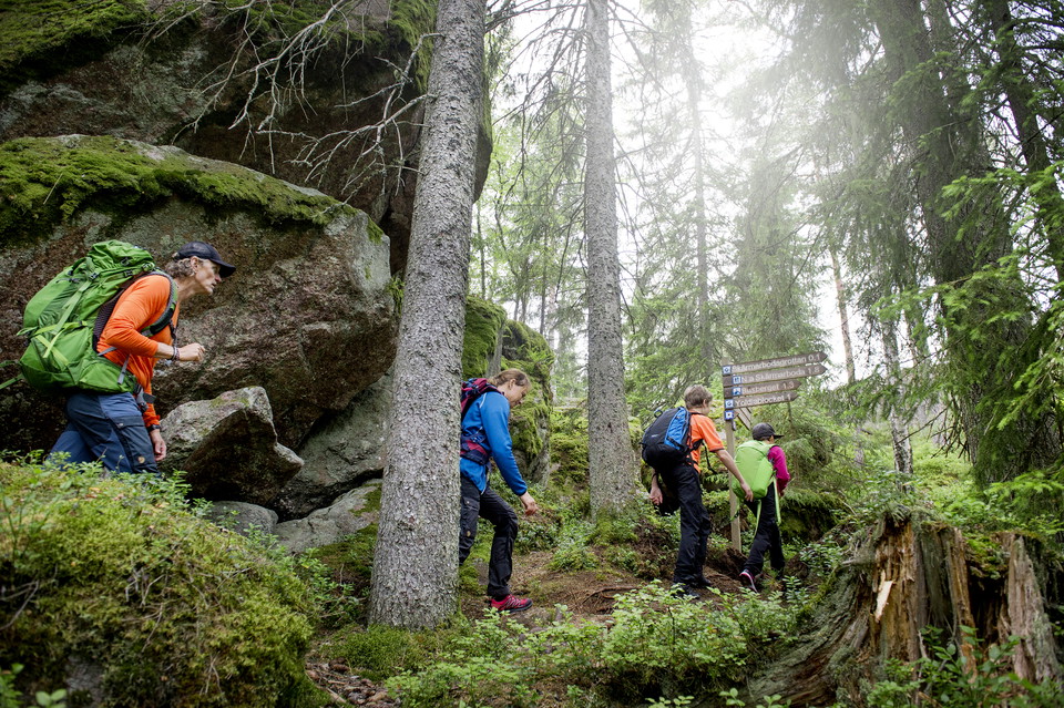
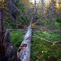
Terrain: Elevation changes - mostly forest path, but also forest road.
Altitude: 150 m above sea level
Fresh water: In Pershyttan there is a toilet with water. In Mogetorp there is access to fresh water outside the hostel. There is also a tap in the village of Ramshyttan with drinking water.
MTB trails Parts of stage 7 between Digerberget and Rökärr are also marked MTB trails. The principal for the MTB trails is Nora municipality.
Housing:
Ramshyttans hästgård/Horse farm
Directions
At the Bergslagsleden bus stop, on road 244 towards Nora, you can get off and walk on the trail, stage 6, which crosses the road. You can also continue on the same bus to Nora. From there you can order local traffic or walk to Pershyttan, approx. 3 km. Mogetorp on highway 50, is served several times daily (Örebro - Nora).
https://www.lanstrafiken.se/reseplanering/flextrafik-och-nartrafik/nartrafik-i-orebro-lan/
Downloads
Contact
Email address
Johan Karlström
Organization logotype

Please be aware that some of these texts have been automatically translated.
I’ve been here 30




I want to go here 66








Questions & Answers
Ask a question to other Naturkartan users.
Reviews
0 reviews
- 5 :
- 4 :
- 3 :
- 2 :
- 1 :
Users images
No user images yet. Be the first to share!
