
-
-
-
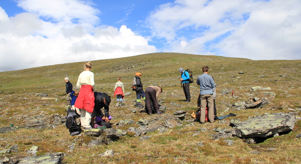
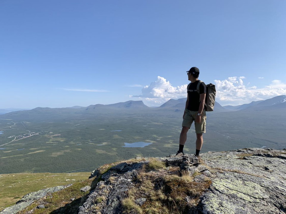
The top of Njullá.
Trail Rihtunjira, Abisko National Park
- Hiking
- County: Norrbottens län
- 6375.22 km away from you
Trail details
- Length 5.0 km
Actions
Description
This trail is only open during the summer. In the winter time there is a risk of avalanches.
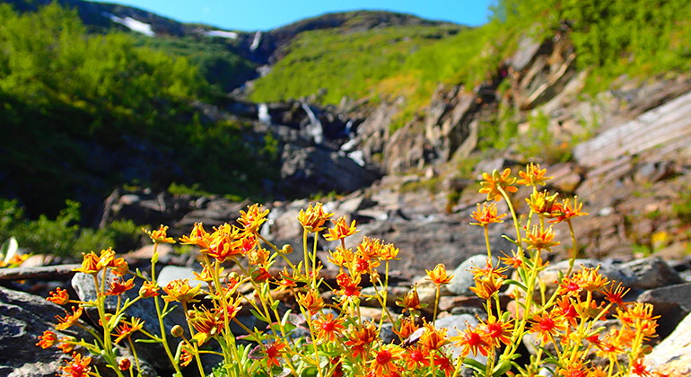
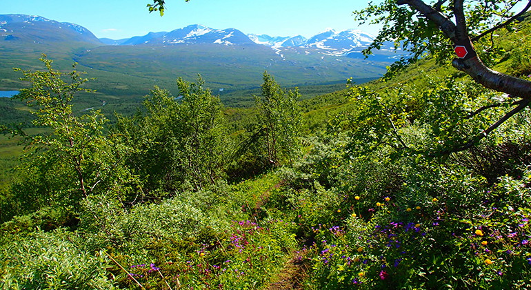
Follow the read trail marks from naturum Abisko visitors centre, taking you south and over to the west side of the river Abiskoeatnu. At the creek Rihtunjira, the trail turns right and goes up the mountain Njullá. Follow the creek until you reach the tree border. Here you cross the creek and continue further up on moors and meadows. The trail goes underneath the chair lift and then turns towards the mountain station. From there, you can continue up to the top of Njullá, if you like.
Activities And Facilities
- Hiking
Contact
Email address
Länsstyrelsen Norrbotten
Organization logotype

I’ve been here 22



I want to go here 46


Questions & Answers
Ask a question to other Naturkartan users.
Reviews
0 reviews
- 5 :
- 4 :
- 3 :
- 2 :
- 1 :
Users images
No user images yet. Be the first to share!
