
-
-
-
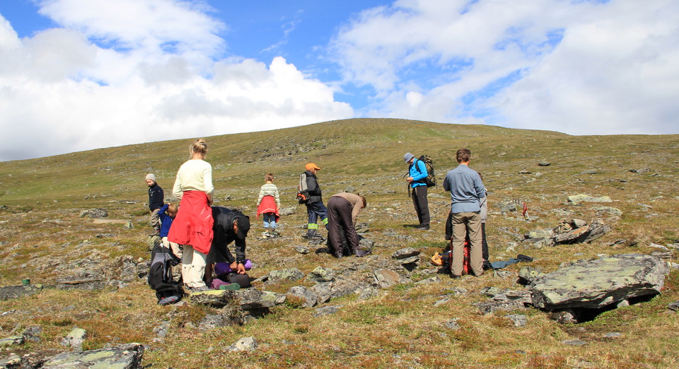
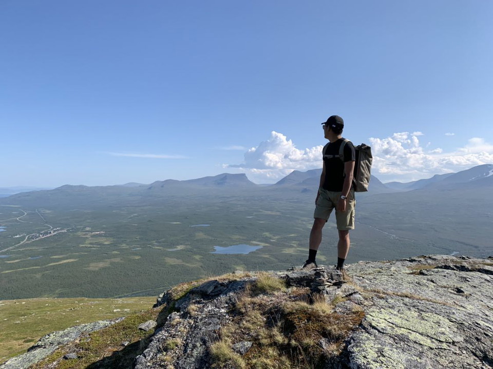
Njullas topp. Rihtunjiraleden är stängd vintertid.
Vandringsstig Rihtunjira, Abisko nationalpark
- Wędrówki piesze
- Województwo: Norrbottens län
- 6375.22 km od Ciebie
Szczegóły dotyczące szlaku
- Długość 5.0 km
Akcje
Opis
This trail is only open during the summer. In the winter time there is a risk of avalanches.
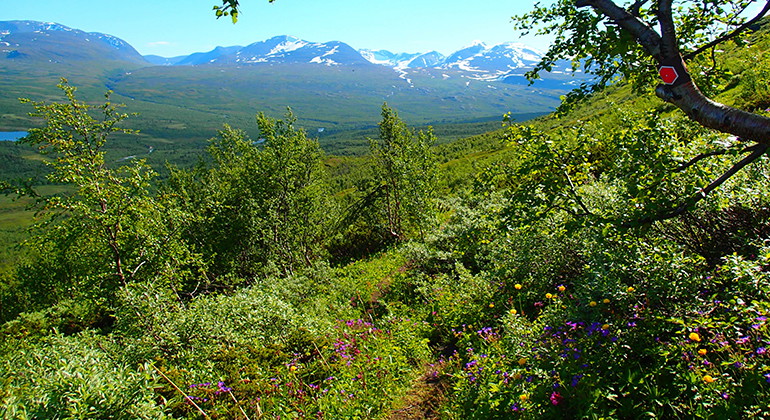
Follow the read trail marks from naturum Abisko visitors centre, taking you south and over to the west side of the river Abiskoeatnu. At the creek Rihtunjira, the trail turns right and goes up the mountain Njullá. Follow the creek until you reach the tree border. Here you cross the creek and continue further up on moors and meadows. The trail goes underneath the chair lift and then turns towards the mountain station. From there, you can continue up to the top of Njullá, if you like.
Działania i udogodnienia
- Wędrówki piesze
Kontakt
Adres e-mail
Länsstyrelsen Norrbotten
Logotyp organizacji

Byłam tu 22



Chcę tu iść 46


Pytania i Odpowiedzi
Zadaj pytanie innym użytkownikom Naturkartan.
Opinie
0 recenzji
- 5 :
- 4 :
- 3 :
- 2 :
- 1 :
Zdjęcia użytkowników
Nie ma jeszcze żadnych zdjęć użytkowników. Bądź pierwszym, który je udostępni!
