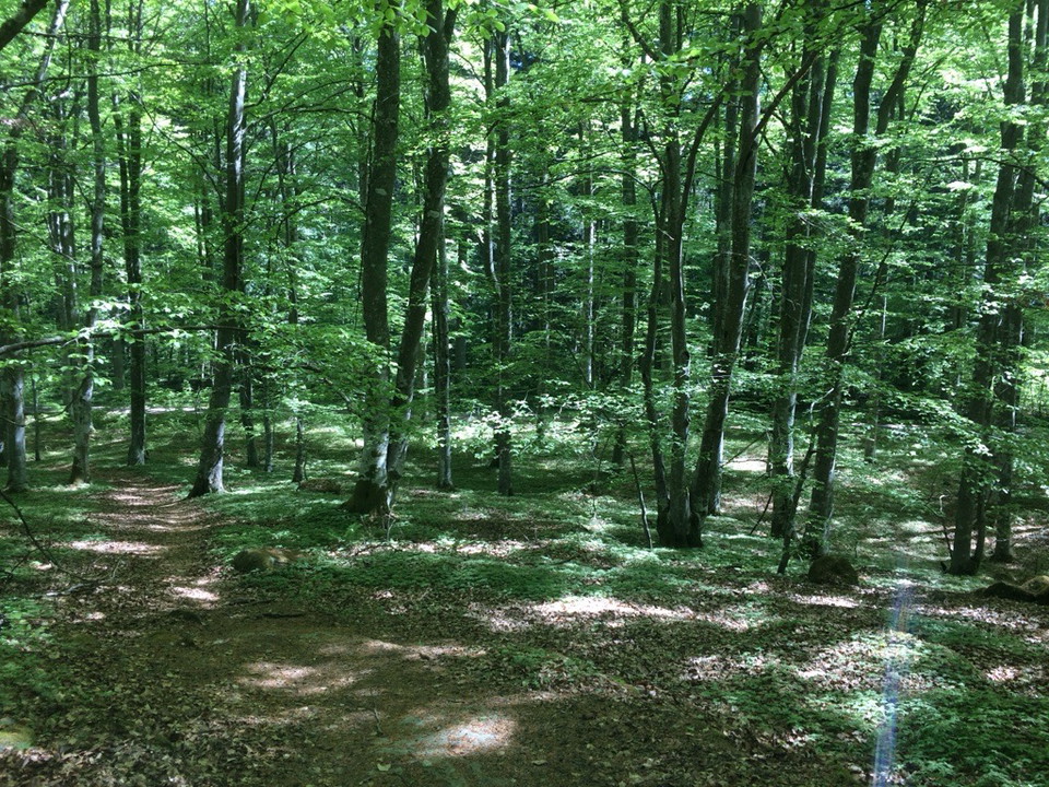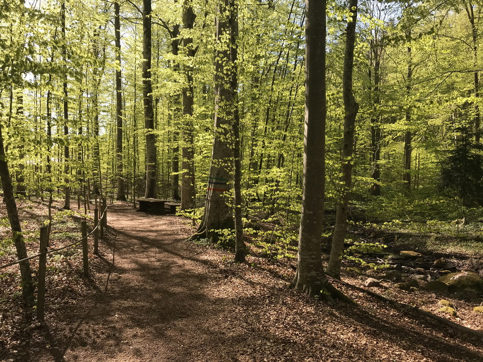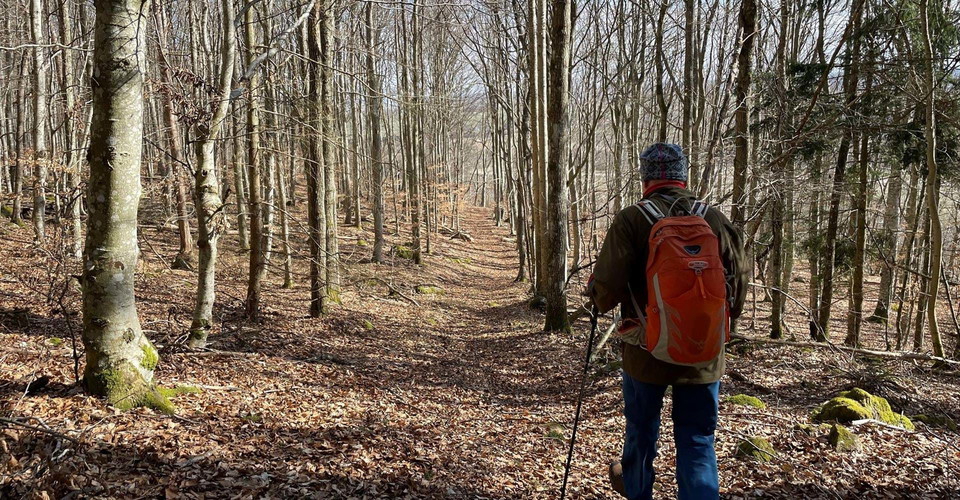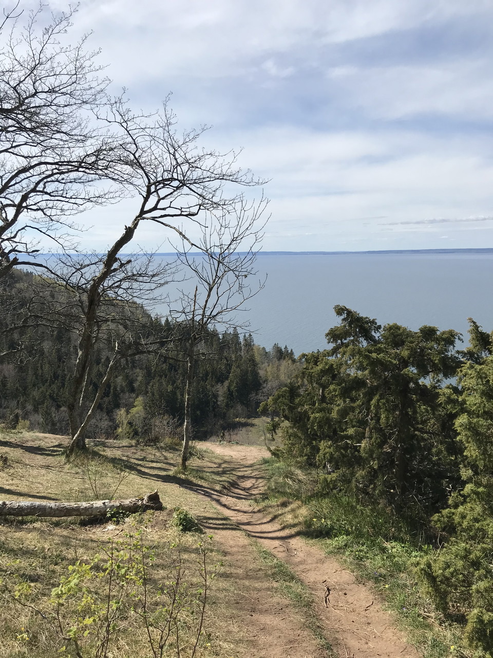
Stig till Marberget.
- Municipality: Ödeshög
- 0.5 km
Path that takes you out to the Marberget viewpoint.

Ödeshög
Naturkartan samlar de vandringslederna i Ödeshög som är populärast bland våra användare.
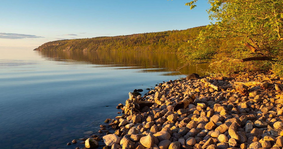
Path that takes you out to the Marberget viewpoint.
Climb to 15 Borggården, the best preserved of the mountain's three ancient castles.
Go up to Hjässan. There used to be an ancient castle up here. One of three ancient castles on the mountain. There are traces of people on Omberg back to the same time as the last ice sheet retreated here, about 11000 years ago. Follow the blue trail down th…
Meet the pillared hall of the beech forest outside Ekoparkscenter Omberg. On a 650 m long loop you can easily get around with a wheelchair, walker and stroller. Visually impaired people can find their way with the help of a guide rope. There are two picnic…
A detour from the nature trail that takes you out to the Vätterbranten and the view at Oxbåset and to the former shoreline of the huge Baltic ice lake
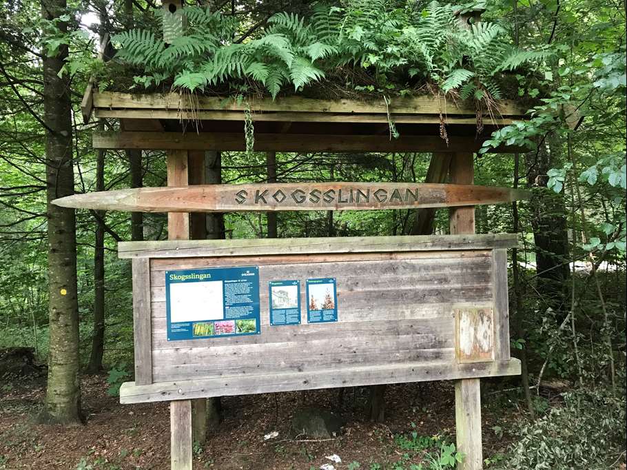
Utefter slingan kan du se över 40 olika sorters träd och buskar. Många av våra inhemska trädslag trivs på Omberg och återfinns här. Under skogsskolans tid infördes även många exotiska trädslag på Omberg. Idag är flera av dem gigantiska jättar. Slingan passe…
The trail starts Alvastra and first follows the Alvastra – Borghamn stage along the eastern side of Omberg. After less than 1 km the trail splits. To go clockwise, choose the left path. A steep section leads through the beech forest up the mountain to a gr…
This beautiful trail runs partly through large open pastures on slopes bordering Lake Vättern, and can be used as an alternative on the Ödeshög – Stocklycke stage. To walk clockwise from Ödeshög, follow Grännavägen south. Turn off towards Orrnäs farm throug…
Meet the pillared hall of the beech forest outside Stocklycke hostel. On a 650 m long loop you can easily get around with a wheelchair, walker and stroller. Visually impaired people can find their way with the help of a guide rope. There are two picnic area…
South of Ödeshög, the Francis Trail connects to the Östgötal Trail. The Francis Trail is about 13 miles long and runs between Byarum-Jönköping-Alvastra. Between Ödeshög and Alvastra, the route is partly shared with Östgötaleden. Read more about Franciskusle…
In connection with the Orrnässlingan trail, it is possible to make a detour along the Orrnäsån river via the cultural trail. There are several ancient remains worth discovering! The Orrnäs cultural trail also highlights how small watercourses were very impo…
St. Birgitta Ways runs along the Franciscus Trail. For more detailed information about the route, visit the Franciscus Trail website. Byarum - Måsarp, 17.9 km Trail markings: red and white lines and/or the Saint Birgitta Ways symbol Walks on gravel roads, f…
St. Birgitta Ways -South börjar i Hamburg i Norra Tyskland, går genom Danmark vidare genom Sverige: Skåne, Småland och Östergötland till Vadstena. Den binder på så vis samman Vadstena med övriga pilgrimdestinationer i Europa. Nästan varje dagsetapp passerar…
This is one of the most beautiful stages in Östergötland! The trail largely follows Lake Vättern with views of the lake and Omberg.The route is rich in historical sites and natural values. From Ödeshög, the trail follows an asphalt road for a few kilometers…
Naturkartan samlar de vandringslederna i Ödeshög som är populärast bland våra användare.