
The lighted trail in Åseda
- Lighted trails
- Walking
- Mountainbiking
- Skiing
- Running
- Stroller accessible
- Near parking
- Circular trail
- County: Kronobergs län
- 6822.63 km away from you
Trail details
- Length 2.2 km
- Difficulty Blue - medium
Actions
Description
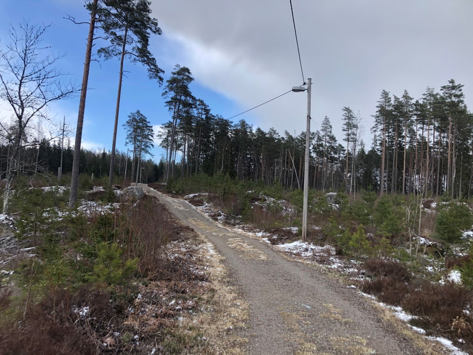
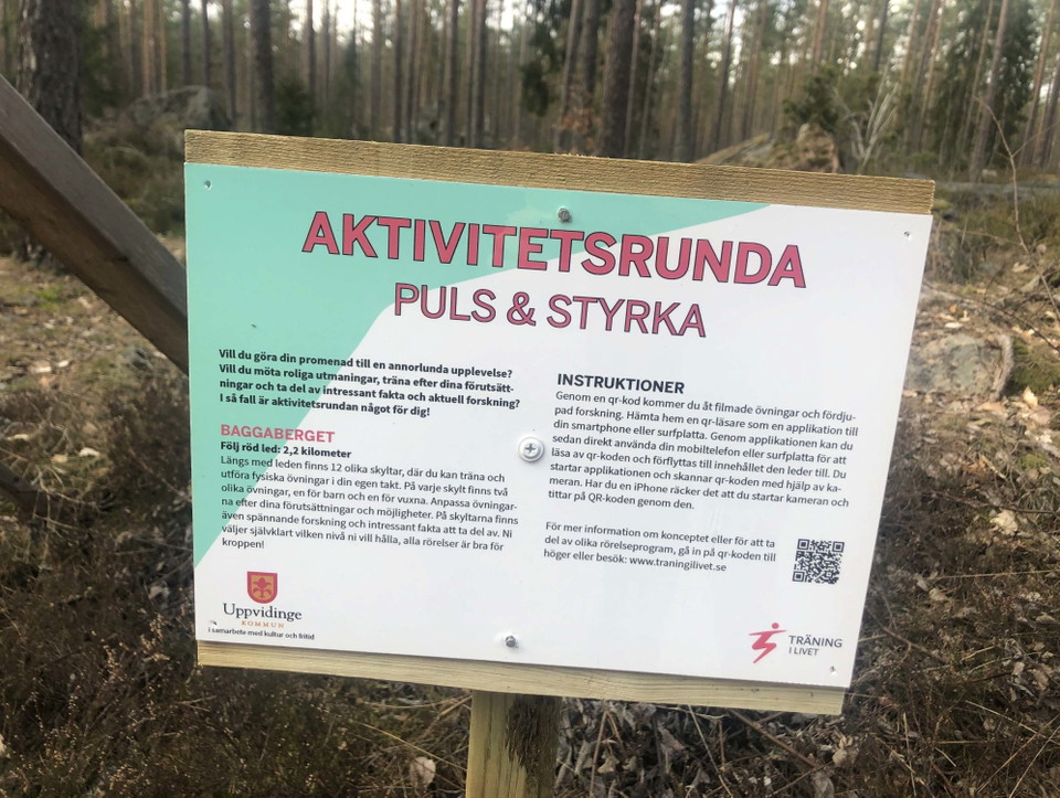
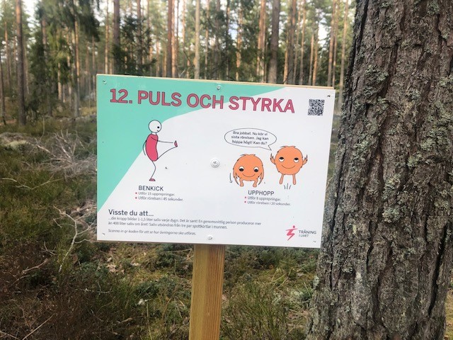
A bit north of Åseda is there a 2,2 km long floodlit trail. The trail has some slopes and is lit until 22 in the evening. Along the trail is there 12 signs with workout ideas. In the winter is there ski trails.
Activities And Facilities
- Walking
- Mountainbiking
- Skiing
- Running
- Lighted trails
- Circular trail
Accessibility
- Stroller accessible
- Near parking
Facts
Åseda floodlit trail was created in 1969. Kexholms SK is responsible for the care of the trail.
Surface
Gravel
Vegetation
The trail goes in a variating nature.
Parking
There is parking space in connection to the trail.
Directions
The trail is north of Åseda close to the exit towards Hultanäs.
Contact
Email address
Kultur- och fritidsavdelningen i Uppvidinge kommun
I’ve been here 2


I want to go here
Questions & Answers
Ask a question to other Naturkartan users.
Reviews
0 reviews
- 5 :
- 4 :
- 3 :
- 2 :
- 1 :
Users images
No user images yet. Be the first to share!
