
XCO-banorna - blå led
- Mountainbiking
- Biking
- County: Kalmar län och Öland
- 6855.66 km away from you
Trail details
- Length 2.2 km
- Difficulty Blue - medium
Actions
Description
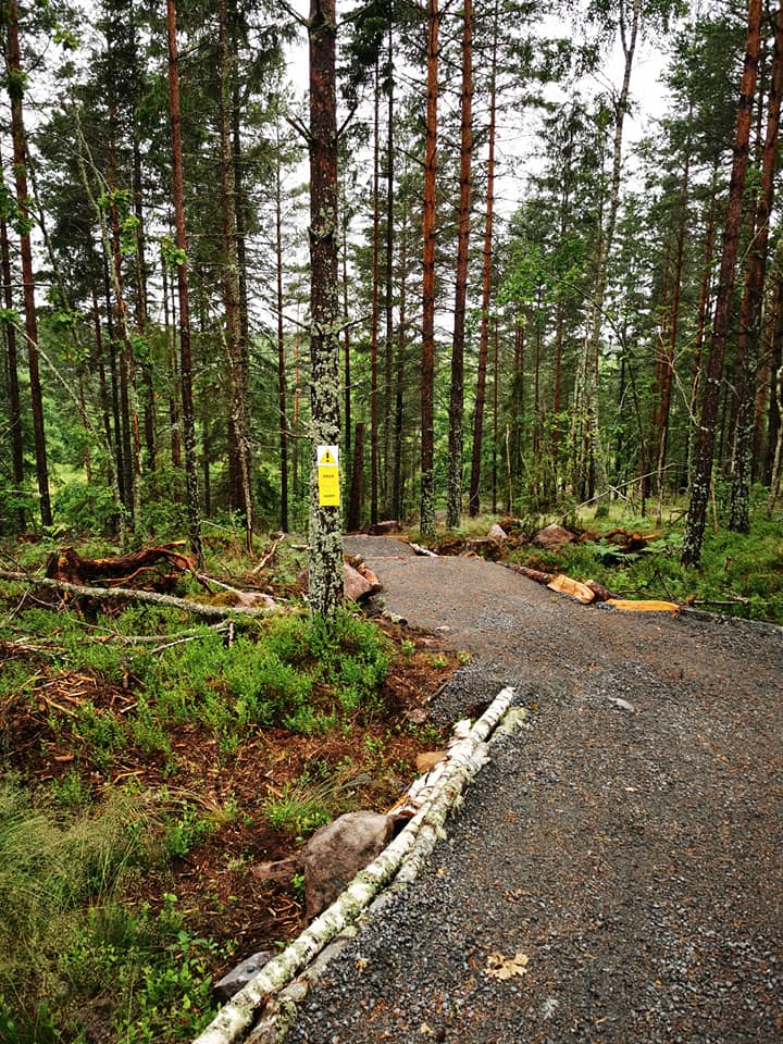
**The blue XCO trail is 2.2 km long with some technical elements. It is possible to choose easier passages.
In total, there are three XCO trails, or courses, of a racing nature. In the world of mountain biking, courses of this kind are ridden in multi-lap races, with total race times of around two hours (XCO) or around 20 minutes (XCC).
The advantage here is that you can get to know the trails and have a lot of fun on them as you increase the speed and difficulty. Maybe it's time to challenge someone when you start to get up to speed? The three XCO trails can be found by following the VO-Slingan trail, which will lead you to an open field with a starting gate.

Activities And Facilities
- Mountainbiking
- Biking
Downloads
Contact
Address
Adress: Stora torget 4, 59333 Västervik
Email address
Västerviks turistbyrå
Please be aware that some of these texts have been automatically translated.
I’ve been here
I want to go here
Questions & Answers
Ask a question to other Naturkartan users.
Reviews
0 reviews
- 5 :
- 4 :
- 3 :
- 2 :
- 1 :
Users images
No user images yet. Be the first to share!
