
-
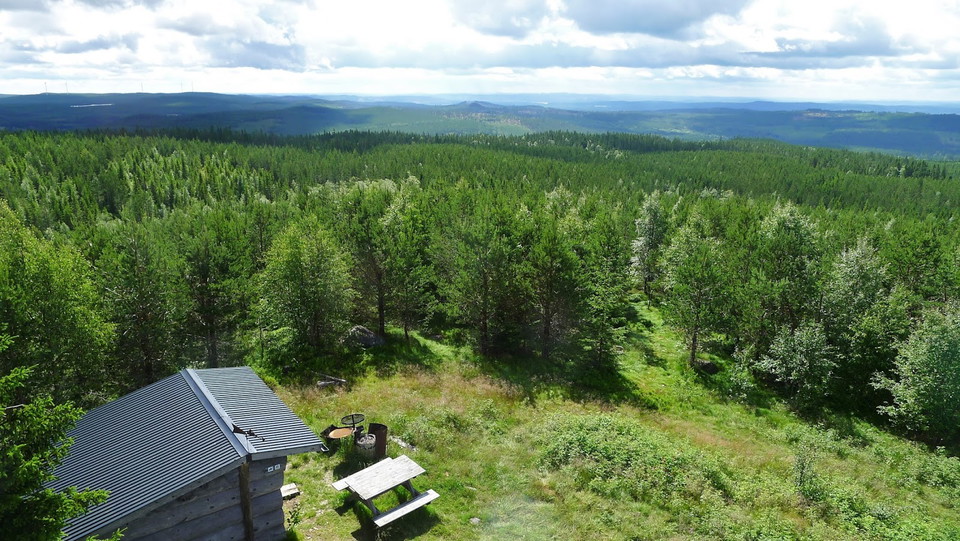
Utsikt mot sydost där sjön Hyn skymtar. -
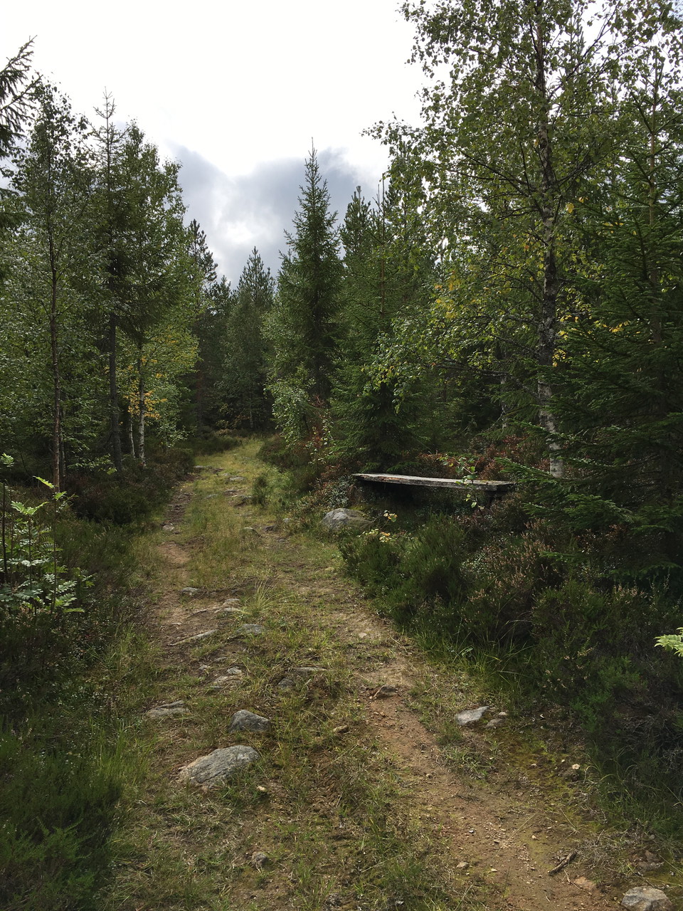
Längs stigen till toppen finns möjlighet att vila benen.
Spjärshällen, utsiktsplats
- Viewpoint
- Shelter
- Firesite
- Toilet
- County: Dalarnas län
- 6643.91 km away from you
Actions
Description
From the view tower at Spjärshällen's peak, which is 506 meters above sea level, you have a miles-wide view of all the weathers over forests, mountains and lakes. At the right weather, Boda church in Rättvik can glimpse in the northwest, and southwards the mountains surrounding Stora Tuna.
The mountains to the north have interesting forms. Take a map of the area and try to figure out which mountains you are seeing. On the north-east side of the mountain, there are plenty of blocks that make the area difficult to access, even heard by the name, Glasgårdshällarna…
Activities And Facilities
- Viewpoint
- Shelter
- Firesite
- Toilet
Parking
Park your car at the barrier along the road to Spjärhällen's twin peaks. To the left of the barrier is a path that leads up to the top. It is about 500-600 meters walk to the top. On the twin peak, which is not the highest point in Falu municipality, there is a mast.
Contact
Email address
Kontaktcenter Falu kommun
Organization logotype

Please be aware that some of these texts have been automatically translated.
I’ve been here 18







I want to go here 36




Questions & Answers
Ask a question to other Naturkartan users.
Reviews
1 review
- 5 :
- 4 :
- 3 :
- 2 :
- 1 :
Users images
No user images yet. Be the first to share!

Det är lättåtkomlig att ta sig till Spjärshällen-utsiktsplats.
Man kan ta bilen nästan ända fram, sen är det en gångstig på ca: 600 m. För att se vida vyer är det ett måste att gå upp i tornet.