
-

-
-

-

Foto: Karin Runesson -

Psalmtallen -

Knivstigen
- Hiking
- Riding
- Trail running
- County: Dalarnas län
- 6658.46 km away from you
Trail details
- Length 11.2 km
Actions
Description
Activities And Facilities
- Hiking
- Riding
- Trail running
Facts
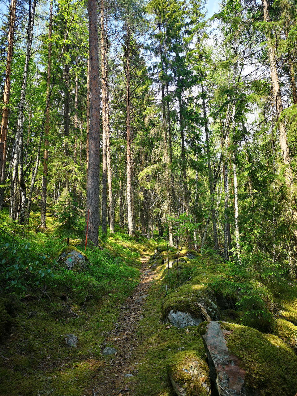
The trail is marked with orange paint and wooden signposts. The path is mostly easy to follow, but it can be a little difficult to see the signposts where the path crosses forest roads, so follow the map extra carefully at these passages.
Since Dalkarlsvägen follows Knivstigen, you will also see the marking for this, in the form of two crossed arrows.
The initiative for the resumption and preparation of Knivstigen comes from Vika-Hosjö Hembygdsförening. They are also responsible for the trail.
Parking
Parking is available at Stabergs bergsmansgård.
Communications
There is a bus from Falun to Stabergs bergsmansgård. The stop is called Staberg.
Directions
The starting point at Stabergs bergsmansgård is located about a mile outside Falun along road 69.
Downloads
Contact
Email address
Kontaktcenter Falu kommun
Organization logotype

Please be aware that some of these texts have been automatically translated.
I’ve been here 5




I want to go here 20




Questions & Answers
Ask a question to other Naturkartan users.
Reviews
0 reviews
- 5 :
- 4 :
- 3 :
- 2 :
- 1 :
Users images
No user images yet. Be the first to share!
