
-

-
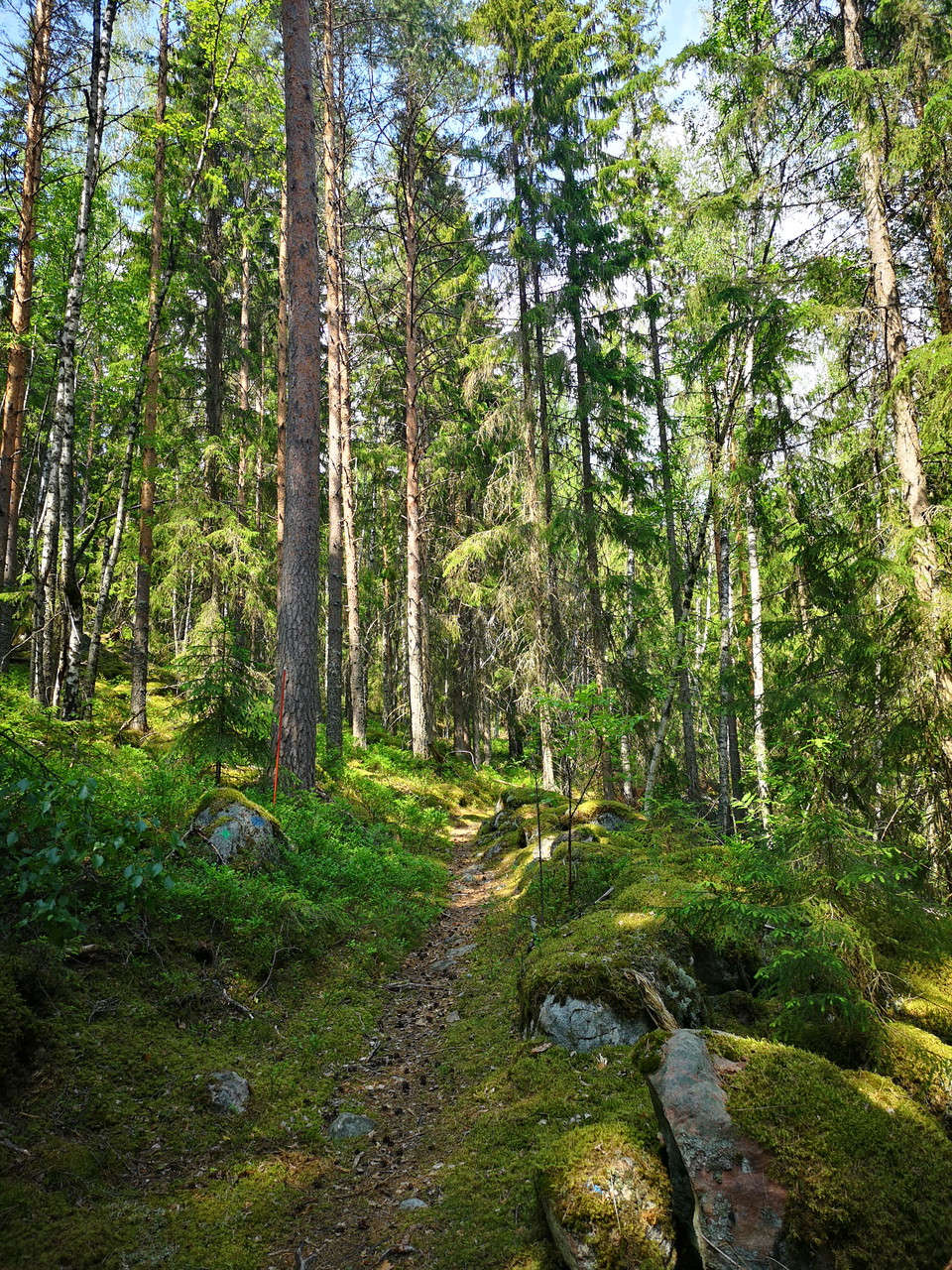
-

-

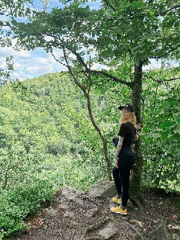
Foto: Karin Runesson -

Psalmtallen -

Knivstigen
- Vandring
- Ridning
- Trail-løb
- Amt: Dalarnas län
- 6658.46 km fra dig
Ruteoplysninger
- Længde 11.2 km
Handlinger
Beskrivelse
Aktiviteter og faciliteter
- Vandring
- Ridning
- Trail-løb
Fakta
The trail is marked with orange paint and wooden signposts. The path is mostly easy to follow, but it can be a little difficult to see the signposts where the path crosses forest roads, so follow the map extra carefully at these passages.
Since Dalkarlsvägen follows Knivstigen, you will also see the marking for this, in the form of two crossed arrows.
The initiative for the resumption and preparation of Knivstigen comes from Vika-Hosjö Hembygdsförening. They are also responsible for the trail.
Parkering
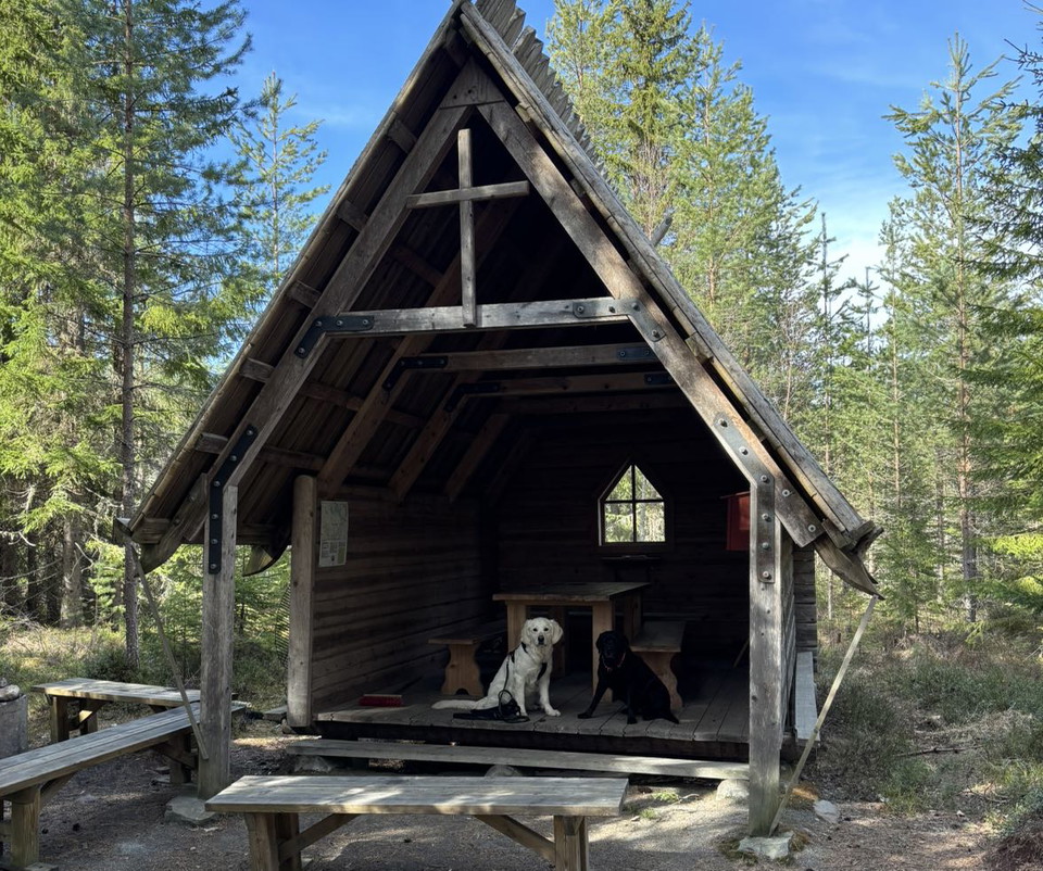
Parking is available at Stabergs bergsmansgård.
Kommunikation
There is a bus from Falun to Stabergs bergsmansgård. The stop is called Staberg.
Rutevejledning
The starting point at Stabergs bergsmansgård is located about a mile outside Falun along road 69.
Downloads
Kontakt
E-mailadresse
Kontaktcenter Falu kommun
Organisationens logotype

Jeg har været her 5




Jeg vil gerne derhen 20




Spørgsmål og svar
Stil et spørgsmål til andre Naturkartan-brugere.
Anmeldelser
0 anmeldelser
- 5 :
- 4 :
- 3 :
- 2 :
- 1 :
Brugernes billeder
Der er endnu ingen brugerbilleder. Vær den første til at dele et!
