Rastplats Stenängen, Tämnaråns kanotled
- Municipality: Tierp
- 6757.88 km away from you
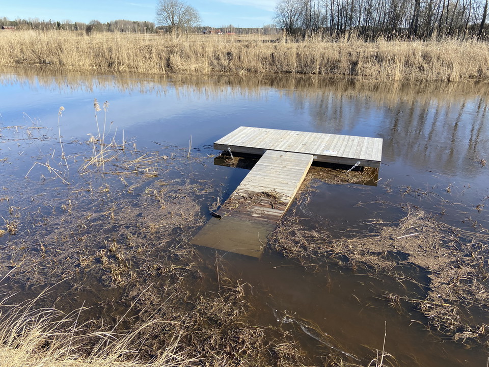
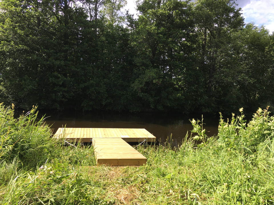
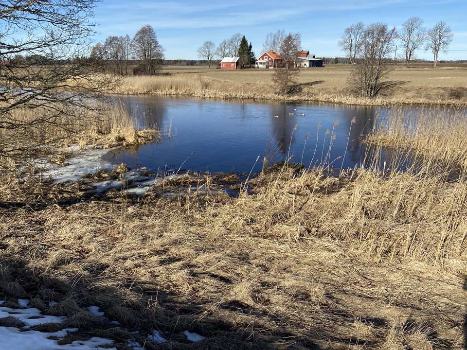
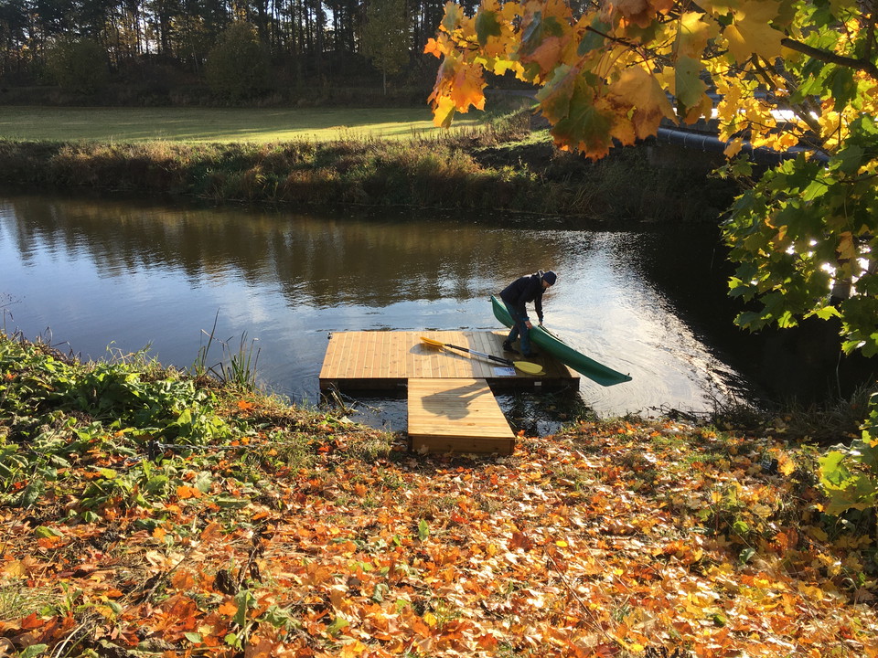
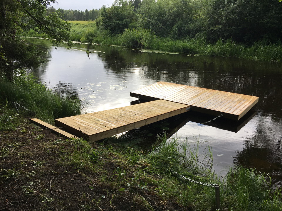
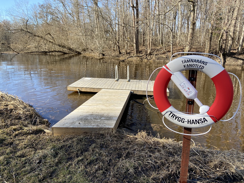
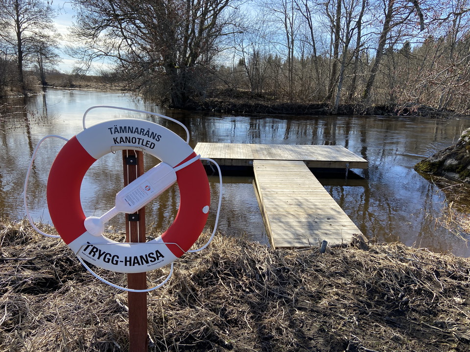
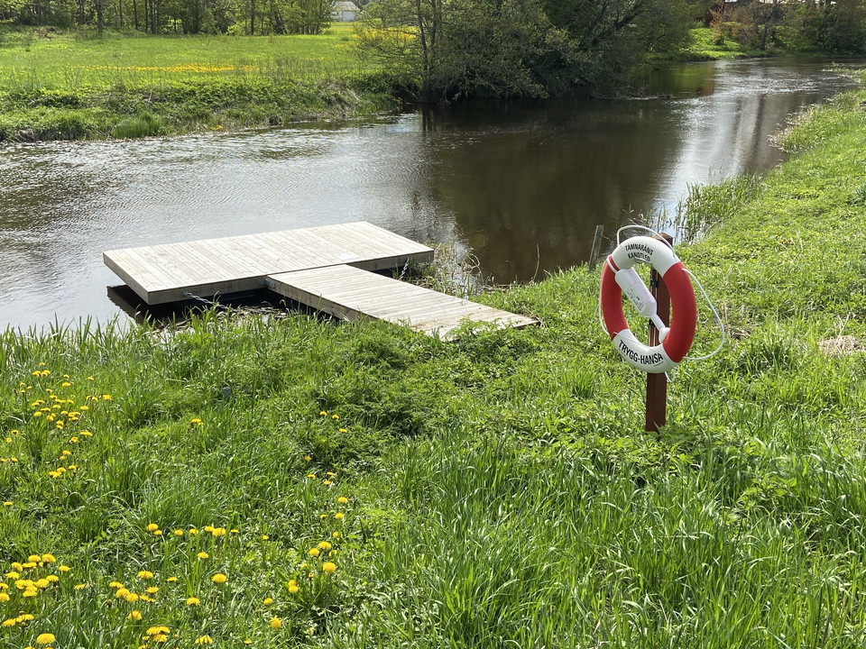
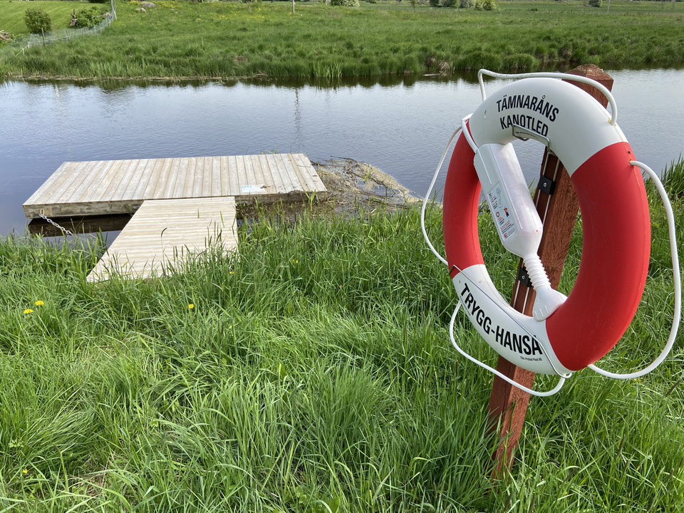
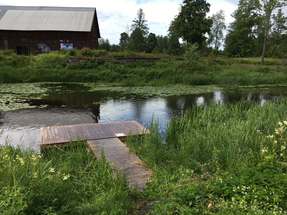
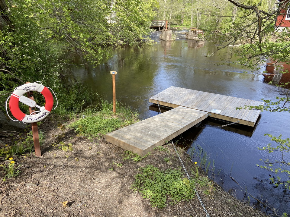
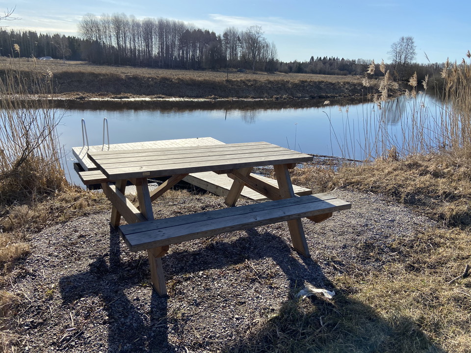
Rastplats med brygga och bänkbord. Rastplatsen ligger i kanten av en åker med utsikt över ån och omgivande åkrar och betesmarker.

Uppsala län
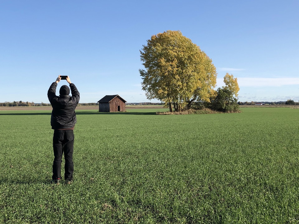
Rastplats med brygga och bänkbord. Rastplatsen ligger i kanten av en åker med utsikt över ån och omgivande åkrar och betesmarker.
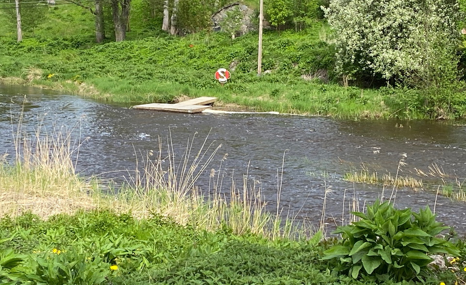
Jetty along Tämnaårns canoe trail, for mooring if you want to paddle north towards Ullfors. In early spring when the water is high, you may need to walk in the water to get out to the gangway.
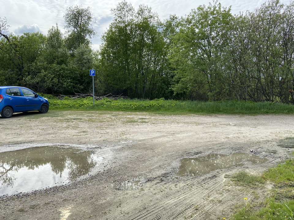
Parking at Tämnarån. There are picnic tables and a jetty to put in canoes. You can paddle north towards Strömsberg, or south towards Fors and Torslunda.
At Gillberga there is a narrow footbridge over the river. At high tide you may need to lift past this bridge. Take the canoe up at the bridge on the right side, south of the footbridge and put in at the bridge on the same side, north of the footbridge. Ther…
Take-off point for the Tämnarån canoe trail. In Gryttjom you need to lift a bit before the power plant. Right now there is no bridge at the site. You have to go up a slope and then carry the edge of the field out to the road, just over 100 m. It is possible…
Jetty for picking up and loading canoes at Tierp church. From here you can paddle north towards Tierp. You can stop by car at the dock to unload canoes. Parking is available at the back of Tierp church.
Jetty along the Tämnarån canoe route, for mooring after lifting at Tegelbruksströmmen.
Jetty for picking up and lifting in 500 m past Braxenströmmen and Tegelverksströmmen.
Jetty for picking up and lifting past shallow section of Tämnarån at Östra Vad.
Dock for loading after lifting at Östra Vad södra.
Dock for loading and continued paddling along the Tämnarån canoe trail, towards Gryttjom. At Gryttjom you need to take up the canoe a bit before the power plant and carry along the river, just over 100 m, out to the road.
Brygga för upptagning söder om stenvalvsbron i Fors. Under bron är det grunt och stenigt. Vissa tider på året kan det gå att paddla igenom här, men oftast inte. Lyft på vänster sida och bär längs med staketet fram till vägen och över bron. På andra sidan br…
Brygga för iläggning och fortsatt paddling norrut mot Tierp. För att komma till bryggan går du in på gräsmattan på östra sida av ån. Det är en mycket brant slänt ner till vattnet. Trappa finns och två stockar som du kan låta kanoten glida på. OBS! Skyltar o…
Brygga för iläggning och fortsatt paddling norrut mot Västland.
Jetty at Bolstan, Westland. **When approaching the site from the south, keep along the left edge until you reach the bridge. The jetty is located just after a footbridge over the river, see picture. When there is a lot of water in the river, the water can f…