ARK56
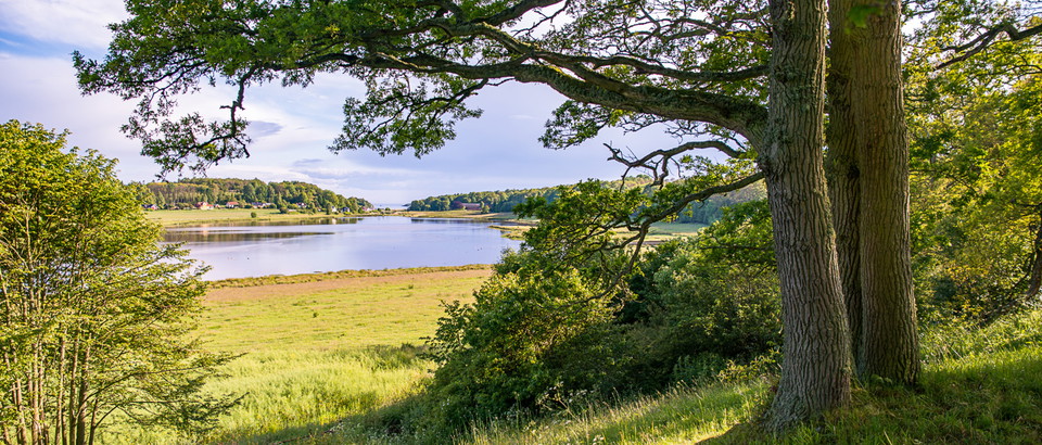
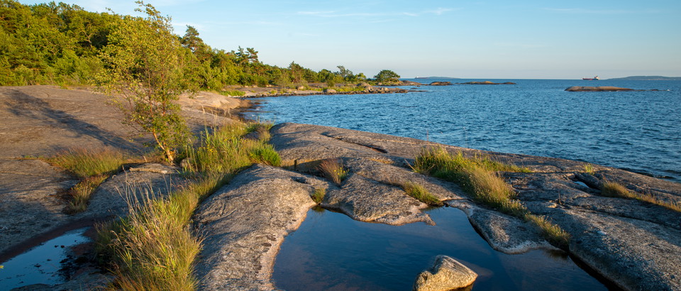
Connected coastal trails in a UNESCO biosphere ...


Year of protection: 1967, extended in 2012
Municipality: Karlshamn
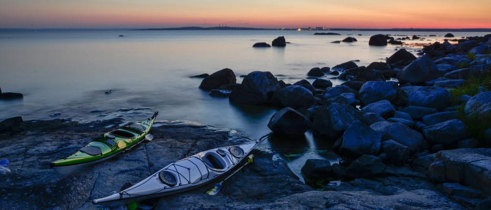
Characteristics: Coastal deciduous forest, pastures, archipelago, marine environment, outdoor recreation
Area: 83 hectares, of which 25 hectares are land and 58 hectares water
Landowners: Private and Karlshamn municipality
Manager: Blekinge County Administrative Board
Form of protection: Nature reserve and Natura 2000
Leave the E22 at junction 51, Karlshamn Väst, and follow the signs to Stilleryd. Turn left towards Stilleryds hamn. After about 100 metres, turn right towards “Naturreservat 4” (also signposted to “Kofsa” and “Drösebo”). Drive 1 kilometre and bear right towards “Drösebo” when the road forks. Follow Drösebovägen 3 kilometres to the nature reserve car park. The nearest bus stop is “Stilleryd” about 4 kilometres from the nature reserve.
You are welcome to visit Stilleryd, but please note that it is not allowed to
Without permission from the county administrative board, you may not
To protect nesting birds on the islands Aspeskärv, Östra Skaftholmen, Västra Skaftholmen, Björkeskärv, Klyvesholme and Andskärvet, you may not during the period April 1 to July 15
Länsstyrelsen Blekinge
Please be aware that some of these texts have been automatically translated.


—
0 reviews
Ask a question to other Naturkartan users.
Share your photos of the place!