
-
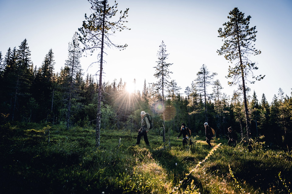
Photo: Visit Skellefteå
Naturstigen
- Hiking
- Firesite
- County: Västerbottens län
Trail details
- Length 5.0 km
Actions
Description
The path goes in hilly terrain with a few short, steeper sections. The path is well marked with blue/white hiking trail signs. Along the path there are signs with information about the landscape, culture, geology and more.
Activities And Facilities
- Hiking
- Firesite
Facts
The nature trail runs in hilly terrain with a few short, steeper sections. Along the trail you will find rest areas, shelters and information about landscape, culture and geology. Old forest with high nature values just before large windbreaks
Surface
forest, jogging tracks, hills
Parking
At the Vitberget railway station
Directions
Drive Slalomvägen up towards Vitberget's track center.
Contact
Email address
Kundtjänst Skellefteå kommun
Organization logotype

Please be aware that some of these texts have been automatically translated.
I’ve been here 3


I want to go here 4


Questions & Answers
Ask a question to other Naturkartan users.
Reviews
0 reviews
- 5 :
- 4 :
- 3 :
- 2 :
- 1 :
Users images
No user images yet. Be the first to share!
