
-
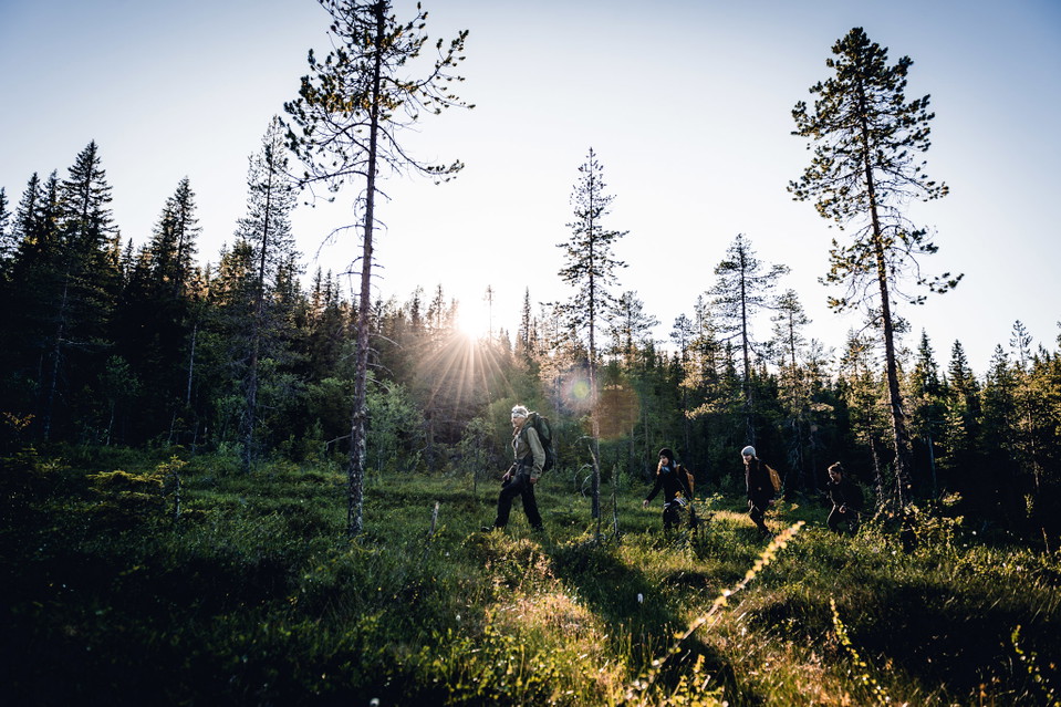
Foto: Visit Skellefteå
Naturstigen
- Vandring
- Grillplads/bålplads
- Amt: Västerbottens län
Ruteoplysninger
- Længde 5.0 km
Handlinger
Beskrivelse
The path goes in hilly terrain with a few short, steeper sections. The path is well marked with blue/white hiking trail signs. Along the path there are signs with information about the landscape, culture, geology and more.
Aktiviteter og faciliteter
- Vandring
- Grillplads/bålplads
Fakta
The nature trail runs in hilly terrain with a few short, steeper sections. Along the trail you will find rest areas, shelters and information about landscape, culture and geology. Old forest with high nature values just before large windbreaks
Overflade
forest, jogging tracks, hills
Parkering
At the Vitberget railway station
Rutevejledning
Drive Slalomvägen up towards Vitberget's track center.
Kontakt
E-mailadresse
Kundtjänst Skellefteå kommun
Organisationens logotype

Jeg har været her 3


Jeg vil gerne derhen 4


Spørgsmål og svar
Stil et spørgsmål til andre Naturkartan-brugere.
Anmeldelser
0 anmeldelser
- 5 :
- 4 :
- 3 :
- 2 :
- 1 :
Brugernes billeder
Der er endnu ingen brugerbilleder. Vær den første til at dele et!
