
-
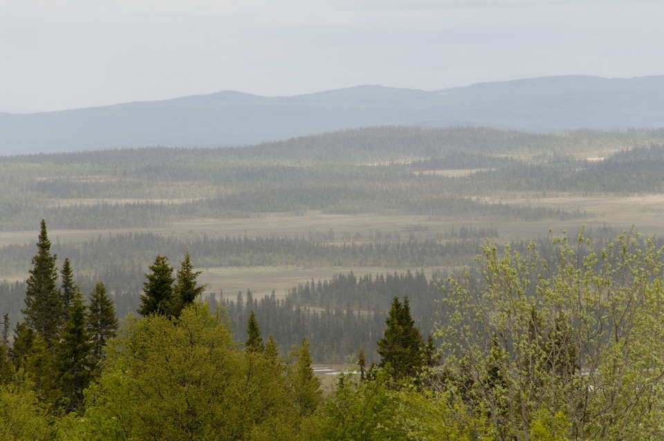
Photo: Andreas Garpebring -
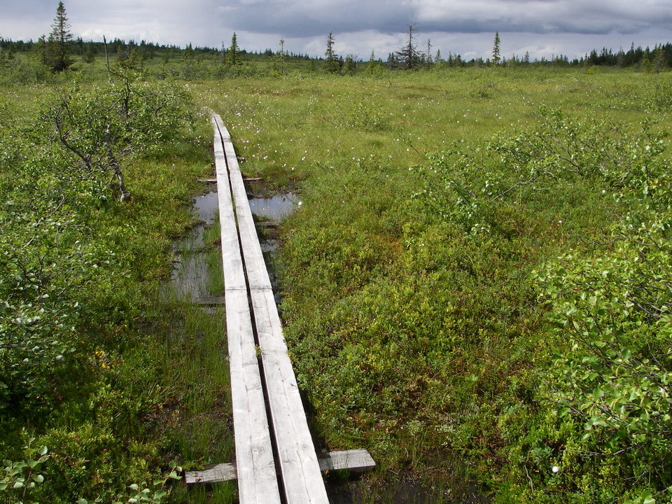
Photo: Lena Lundevaller -
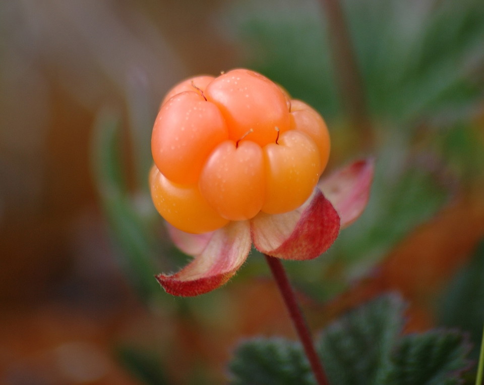
Photo: Länsstyrelsen Västerbotten -
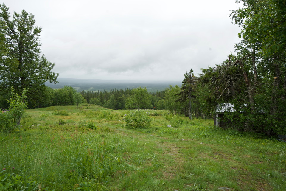
Sagatun.
Photo: Emma Johansson -
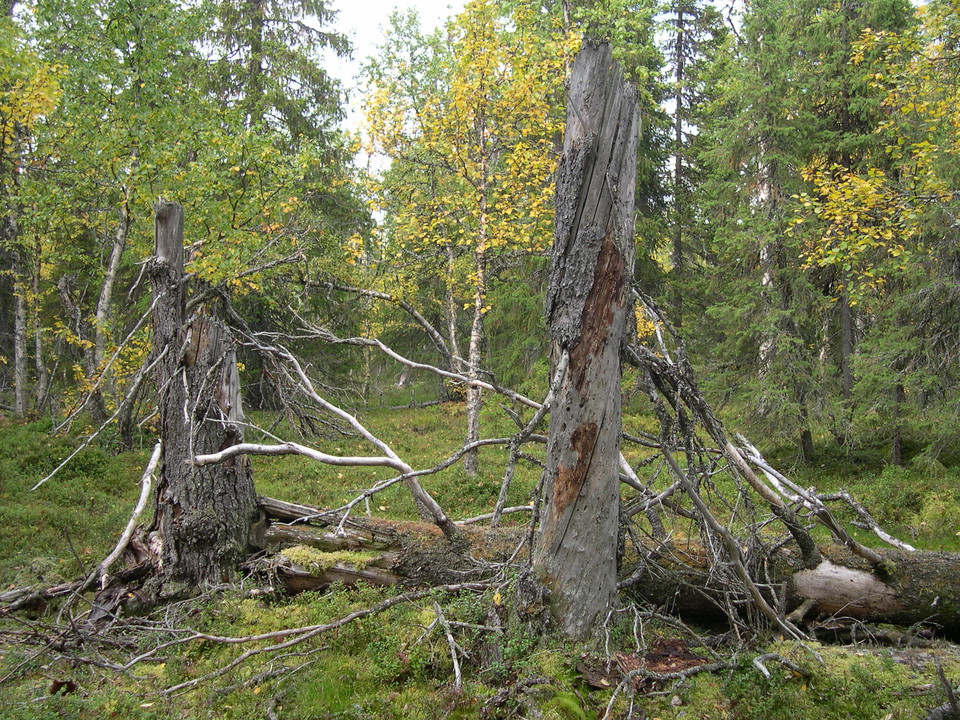
Photo: Länsstyrelsen Västerbotten
Blaikfjället
- Nature reserve
- Near parking
- County: Västerbottens län
Actions
Description
Blaikfjället is home to one of Sweden’s largest areas of mires. The bird-life is extremely rich, with species such as the broad-billed sandpiper and the jack snipe. In the autumn there are plenty of cloudberries on Blaikfjället. On the mires you can see traces of the old hay meadows.
Blaikfjället is situated between the Malgomajs and Ormsjön valleys. The reserve extends just over 45 km from Sagatun in the south-east to Rönnäsmyran in the north-west. The Gitsfjället nature reserve starts west of the Gransjövägen road.
Sweden’s largest cloudberry mire
The mire area at Blaikfjället covers 30,000 hectares! Here you can see just about all the different types of mire, from mineral-poor fens to rich swamp woods. Bean geese and cranes are common in the wet Rönnäsmyran mire in the north-east, while common teals and red-necked phalaropes can be found in the peaty pools. The mires were previously of great importance as hay meadows. In many of Blaikfjället’s mires, old hay-stacking poles, barns and paths can still be seen.
Activities And Facilities
- Nature reserve
Accessibility
- Near parking
Directions
The reserves can be reached from the mountain valleys of Vilhelmina or Dorotea. From Dorotea, take road 1052 towards Borgafjäll, from where there are hiking trails into the nature reserve. From Vilhelmina, take road 1067 towards Saxnäs, from where there are hiking trails. From Sagatun, where there is a road, there are three trails.
Contact
Email address
Länsstyrelsen Västerbotten
Organization logotype

Please be aware that some of these texts have been automatically translated.
I’ve been here 16



I want to go here 16


Questions & Answers
Ask a question to other Naturkartan users.
Reviews
2 reviews
- 5 :
- 4 :
- 3 :
- 2 :
- 1 :
Users images
No user images yet. Be the first to share!

Tack för informationen. Vi meddelar vår naturbevakare för området att ordna det /Emma, Länsstyrelsen Västerbotten