


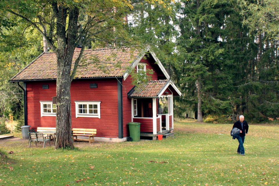


The Uppland Trail, section 19, 9,5 km
- Hiking
- County: Uppsala län
- 6728.63 km away from you
Trail details
- Length 9.5 km
Actions
Description
Activities And Facilities
- Hiking
Surface
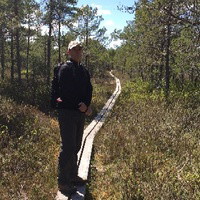
The walk follows gravel roads and easy forest paths. Footbridge.
Parking
Parking is available at both the start and finish.
Communications
There is no public transport to the start at Skekarsbo. There is a bus stop in Tärnsjö center. The center is 500 m from the end of the stage at Nora church. For bus numbers and timetables, see www.ul.se
Directions
The church path starts at Skekarsbo, northwest of Tärnsjö. To get to Skekarsbo, drive into Tärnsjö and follow the main street (Storgatan) north. At the edge of the community turn towards Gäddsjö. From here it is signposted towards both Kyrkstigen and Skekarsbo.
Contact
Email address
Upplandsstiftelsen
Organization logotype

Please be aware that some of these texts have been automatically translated.
I’ve been here 33








I want to go here 50








Reviews
4.3
2 reviews
- 5 :
- 4 :
- 3 :
- 2 :
- 1 :
Questions & Answers
Ask a question to other Naturkartan users.
Users images
Share your photos of the place!

Vandrat Österbo fäbod - Brattnäset, fina stigar och fin natur. Utsiktstornet i Skekarbo bjuder på stor vy i klart väder.