Länsstyrelsen Norrbottens län
Welcome to nature in Norrbotten.

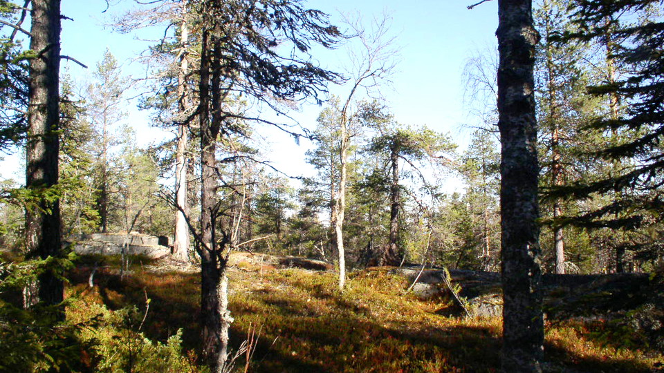
The nature reserve Juurakkomaa lies on the boundary between Övertorneå and Överkalix municipalities and comprises pristine coniferous forests. Along the stream Ahmaoja, which flows along the eastern part of the area, you can see waterlogged spruce forest. To the west, Juurakkomaa borders on a ridge of highly fragmented bedrock. The area is 1.7 square kilometres in size.
Turn eastwards from road 392 in the southern part of the village of Vinsa. Follow this road in a southeasterly direction for about 19 kilometres and then turn east onto a logging road which after another 5 kilometres leads as far as the nature reserve. You can also get here from road 39 between Överkalix and Övertorneå.
Länsstyrelsen Norrbotten

Ask a question to other Naturkartan users.
0 reviews
No user images yet. Be the first to share!