
Lidköping
Best hiking trails in Lidköping
Naturkartan samlar de vandringslederna i Lidköping som är populärast bland våra användare.
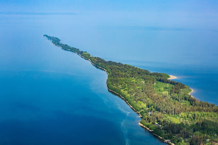
Map
18 Best hiking trails in Lidköping

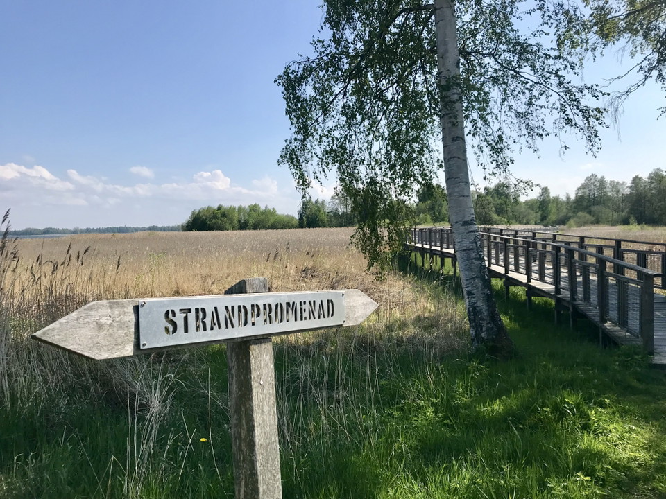
Strandnära promenadutflykt
- Municipality: Lidköping
- 6636.69 km away from you
Close to the city center Park at Lidköpings Gästhamn and then follow the footpath and cycle path towards Kronocampingen. If it's nice and warm, you might even want to start by relaxing for a while on the sun piers by the harbor. First you come to Framnäs St…
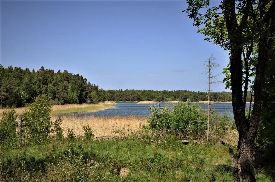
Spårön
- Municipality: Lidköping
- 6625.24 km away from you
- 10.1 km
- 200
- Difficulty: Green
On Spårön, you can hike through varied nature and experience the sounds of the outdoors while listening to the waves of the lake. Follow the orange trail markers to walk around the entire island. If you only want to walk half the route, start by following t…
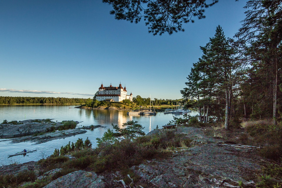
Roparudden
- Municipality: Lidköping
- 4.0 km
- 60
- Difficulty: Green
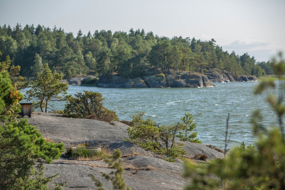
The name Roparudden comes from the fact that it was here where people would stand and call out or signal across to Stora Eken to summon the ferryman when they wanted to cross the strait. Roparudden is the outermost tip facing Stora Eken, which was inhabited…
Tranebergsleden
- Municipality: Lidköping
- 6624.68 km away from you
- 12.0 km
- 150
- Difficulty: Blue
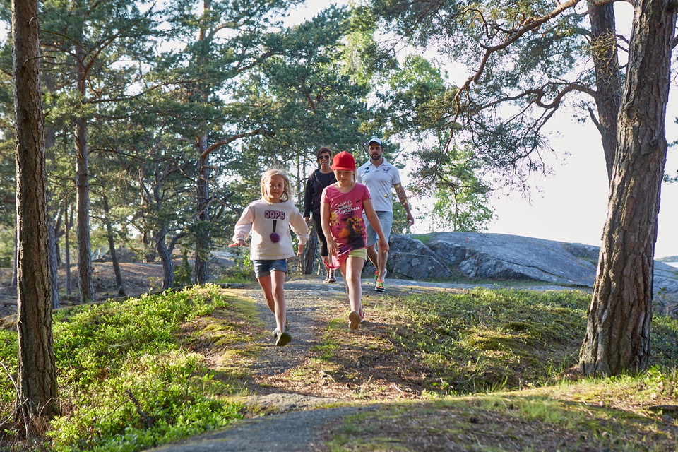
On the Traneberg Trail, you hike through the archipelago, with a good chance of spotting various seabirds along the way, as well as wildlife in the forests. At the point near Sundvassholmen, there is a bird protection area that must not be entered between A…
Kleversbergen
- Municipality: Lidköping
- 6629.29 km away from you
- 3.5 km
- 45
- Difficulty: Blue
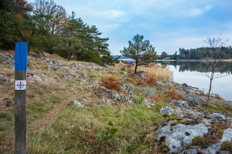
Hike this 3.5 km loop on Kållandsö. A fantastic view of the Fröfjord awaits at the highest point. Up on the mountainside there are also tables and benches to sit down and have a well-deserved coffee. Kleversbergen runs through hilly terrain in the mountains…
Fröfjorden
- Municipality: Lidköping
- 6629.74 km away from you
- 5.0 km
- 90
- Difficulty: Blue
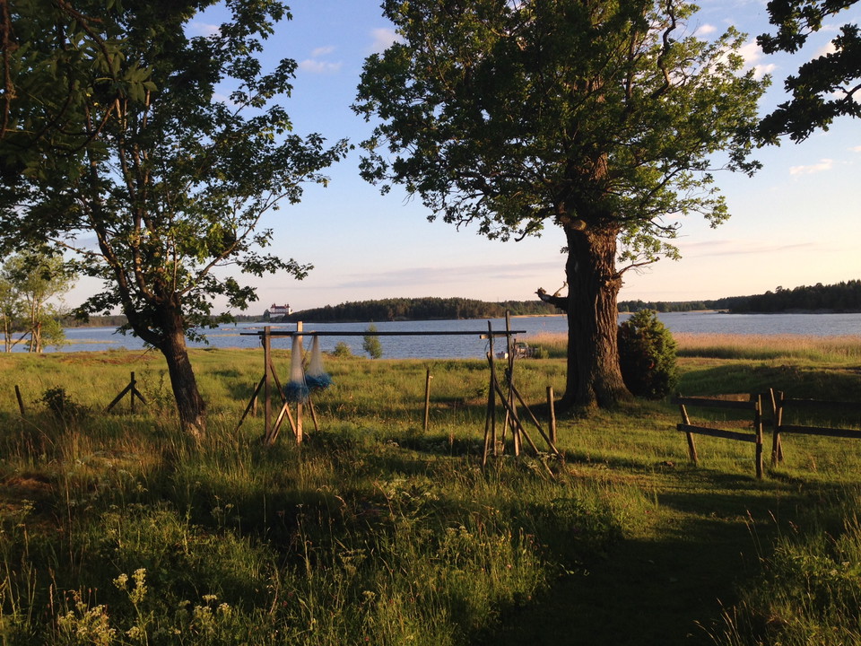
Hike in beautiful surroundings on Kållandsö with proximity to Lake Vänern and nature. There are tables and benches along the trail and toilets are adjacent to the old Prästgården. There is also a beautiful barbecue area with lake views and free firewood dur…
Stora Eken
- Municipality: Lidköping
- 6629.90 km away from you
- 6.0 km
- 80
- Difficulty: Green
On the northern side of Stora Eken, there are still some large oak trees that gave the island its name. Stora Eken is the largest island in the Eken archipelago and was inhabited from the 1500s until the 1960s, when farming and forestry were practiced there…
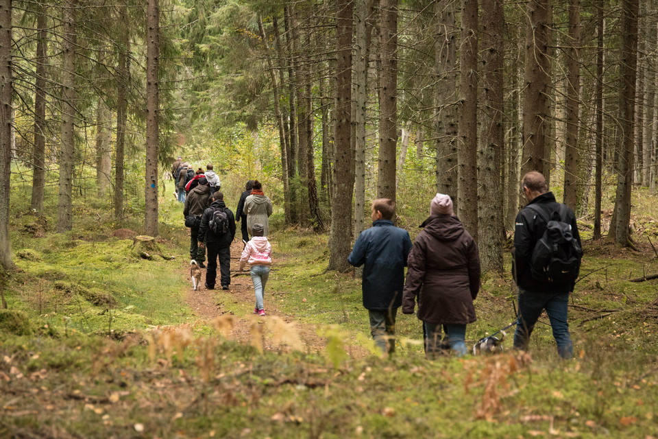
Kinneviken
- Municipality: Lidköping
- 6632.67 km away from you
- 3.0 km
- 40
- Difficulty: Green
The Kinneviken trail passes through a 30-40 year old spruce forest with occasional deciduous trees, and the terrain is varied. Be cautious of potentially slippery rocks in wet weather. There are barbecue spots, tables, and benches along the trail. Free fire…
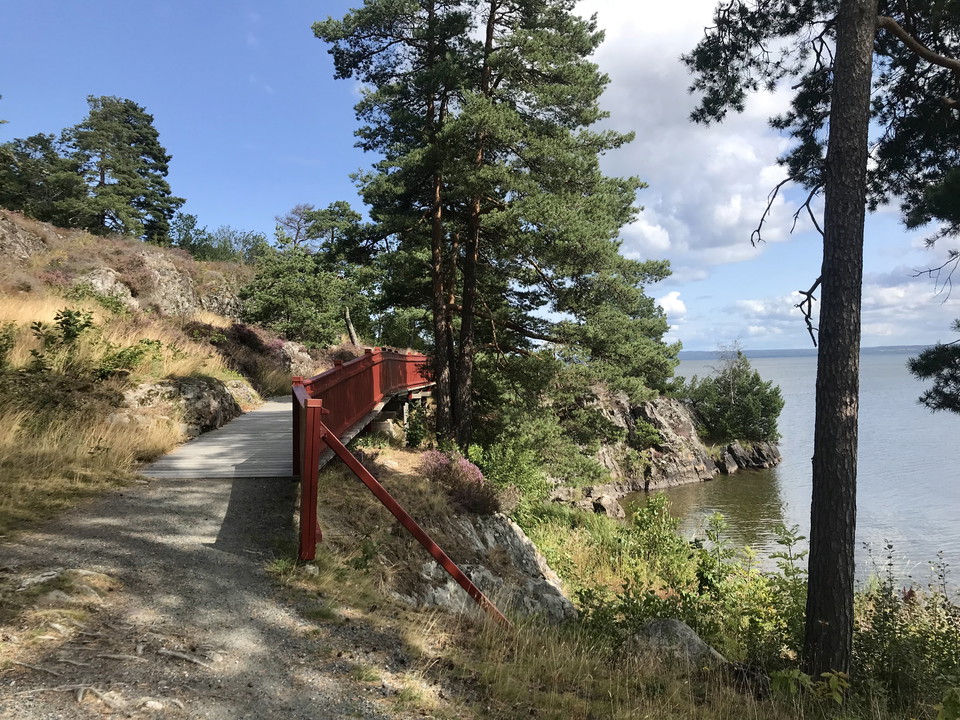
Lidköpings beach walk
- Municipality: Lidköping
- 6634.29 km away from you
- 5.0 km
- 60
- Difficulty: Green
The beach walk in Lidköping stretches from the small boat harbor and Framnäs beach park along Lake Vänern through Tofta and up to Giacomina. The walk offers several opportunities to connect with the lake, as it follows the shoreline almost the entire way. T…
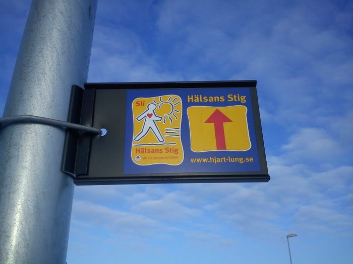
The Health Trail in Lidköping
- Municipality: Lidköping
- 6636.29 km away from you
- 4.0 km
- 50
- Difficulty: Green
The Health Trail is an easily accessible walking path in central Lidköping. The idea behind the Health Trail is to help people achieve the public health goal of exercising at least 30 minutes a day. The Health Trail is a lovely and relatively easy 4 km walk…
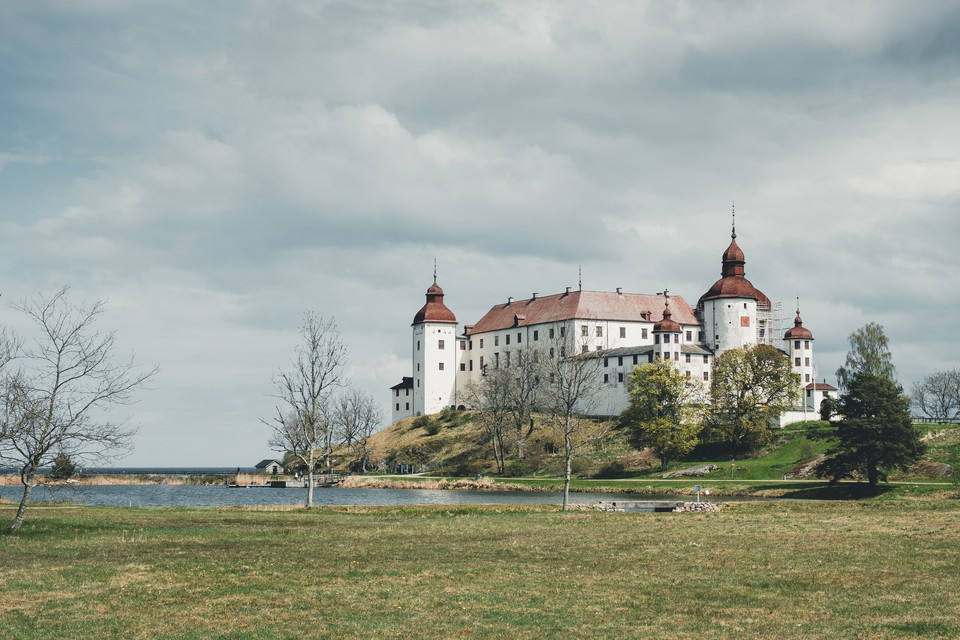
The Biosphere Trail section 1 Läckö Castle-Riddaregården
- Municipality: Lidköping
- 18.0 km
- 360
- Difficulty: Blue
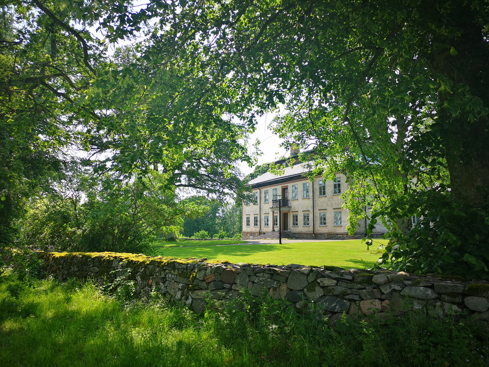
The first section of the Biosphere walking trail (or the last depending on your chosen direction) is pompous with the baroque castle of Läckö Slott as a framework. You then continue on the island of Kållandsö in the archipelago landscape of lake Vänern mixe…
The Biosphere Trail section 2 Riddaregården-Råda church
- Municipality: Lidköping
- 6628.49 km away from you
- 19.0 km
- 360
- Difficulty: Green
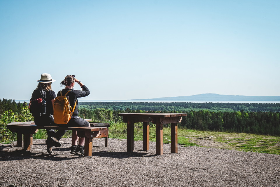
This section starts at Riddaregården and goes south on the peninsula Kålland. When the section is over you have reached the small village of Råda, nowadays almost grown together with the city of Lidköping. The walking trail goes on small roads and paths and…
The Biosphere Trail section 3 Råda church-Källby
- Municipality: Lidköping
- 6633.93 km away from you
- 19.0 km
- 300
- Difficulty: Green
The third section offers a nice mix of nature, the charming small town and beautiful views of Lake Vänern. The start is by good excercise tracks and the walking trail then leads you through the small town of Lidköping via the nice beach promenade. The way o…
Hindens rev
- Municipality: Lidköping
- 6617.55 km away from you
- 10.0 km
- 100
- Difficulty: Green
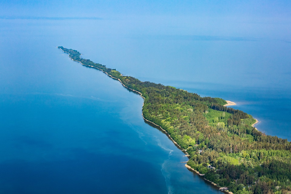
This ultra-narrow peninsula is a fun walking trail with an exciting past. The long, narrow spit known as Hindens Rev stretches five kilometers into Lake Vänern like a spearhead. The width varies between 25 and 100 meters. As you approach the tip, the elevat…
Best hiking trails in Lidköping
Naturkartan samlar de vandringslederna i Lidköping som är populärast bland våra användare.
