Hallandsleden
Upptäck Hallands vackra inland till fots genom...

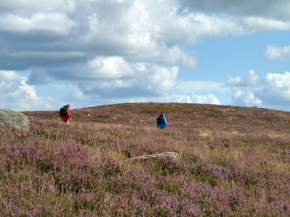
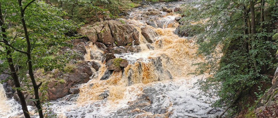
Along the fine river Assman, a tributary of Fylleån, the surroundings change from before. There is more mixed forest with pine and spruce, but also oak, beech and birch. Take a break at Danska Fall where you can read where the waterfall got its name. Towards the end you enter Gårdshults nature reserve, which contains both wild nature and an older agricultural landscape that is still used in the old way.
Between Gårdshult Nature Reserve and Bjärsahult, the trail follows a moraine ridge, which is mostly overgrown with pine forest. On both sides are large, seemingly endless bogs, in one of southern Sweden's largest wetland areas. The trail then runs mostly through spruce forests, passes the Harsprångsledningen power line and on through mixed forests to arrive at the heath in Mästocka. The heath is a remnant of the vast heathland areas that in earlier times covered large parts of Halland. Here you will find Halland's landscape flower, the heather.
Halmstad direkt

Please be aware that some of these texts have been automatically translated.



Ask a question to other Naturkartan users.
0 reviews
No user images yet. Be the first to share!