


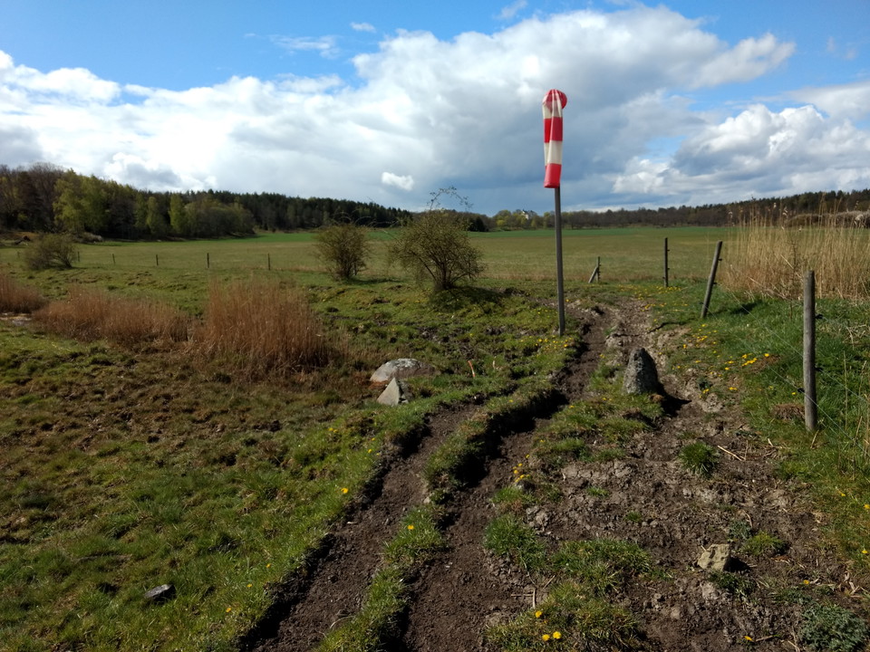


Stegeborg rundslinga, Östgötaleden
- Circular trail
- Hiking
- Near parking
- County: Östergötlands län
Trail details
- Length 12.0 km
- Difficulty Blue — medium
Actions
Description
Activities And Facilities
- Hiking
- Circular trail
Accessibility
- Near parking
Surface
Forest path partly with roots and stones, partly damp areas, gravel road, rock, grass, animal path in pasture.
Parking
Depending on where you want to start the hike, there are parking lots on Slottsholmen at Stegeborg's castle ruins, or at Hultbacka south of Stegeborg.
Downloads
Contact
Address
Välkommen till Östgötaleden, 150 mils vandring i Östergötland!
Email address
Kontakt Östgötaleden
Organization logotype

Please be aware that some of these texts have been automatically translated.
I’ve been here 47












I want to go here 97













Reviews
—
8 reviews
- 5 :
- 4 :
- 3 :
- 2 :
- 1 :
Questions & Answers
Ask a question to other Naturkartan users.
Users images
Share your photos of the place!


Den tråkigaste leden hitillls, inte mycket att se! Hade med oss matsäck men fanns inte en enda vettig plats att inta den.