


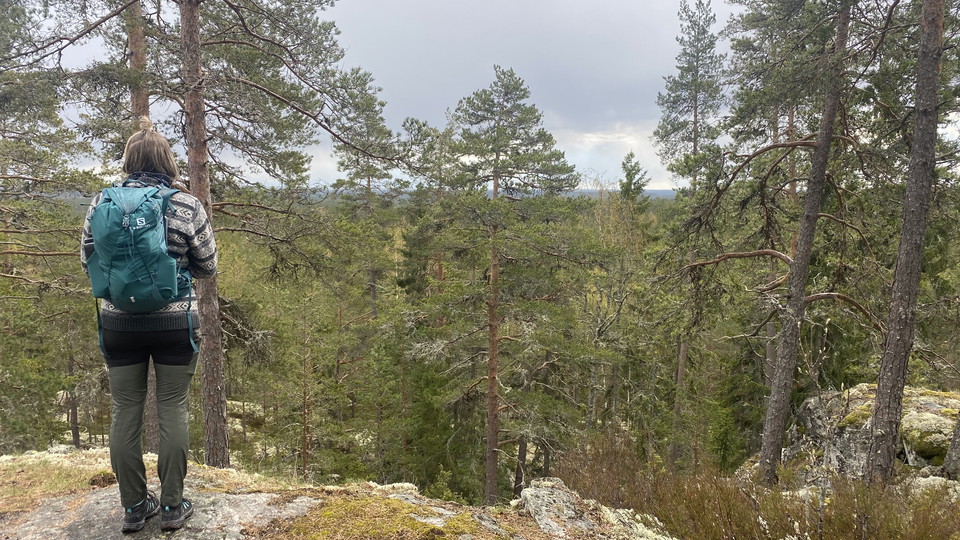

Fagersta — Landsbergstriangeln (the Landsberg Triangle)
- Hiking
- Trail running
- Circular trail
- County: Västmanlands län
- 6696.55 km away from you
Trail details
- Length 16.0 km
- Difficulty Red — demanding
Actions
Description
Activities And Facilities
- Hiking
- Trail running
- Circular trail
Facts
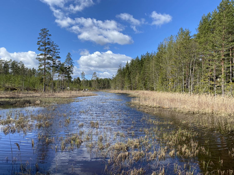
Because a dam has burst at lake Sågsjön, there is no bridge crossing the lake at the site. Use caution when walking over the crossing, built by the public.
If you come to Trummelsberg by car and want to continue towards Bockhammar/Skinnskatteberg, you can do so, as usual it is general traffic sense that prevails. It is also possible to get to the barbecue and swimming areas in Trummelsberg.
Be attentive to the prevailing conditions, surroundings and residents in the area.
Surface
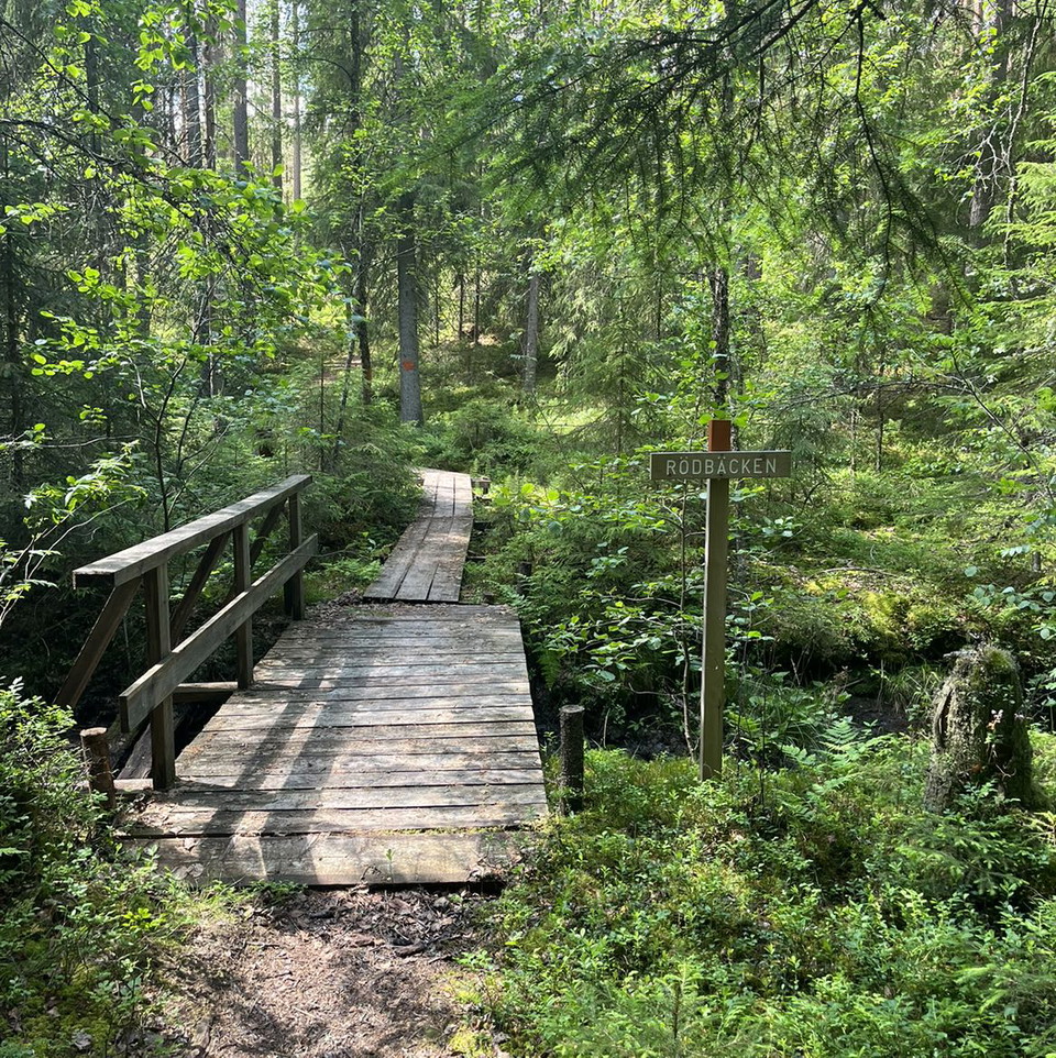
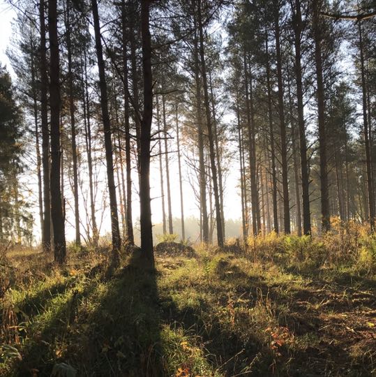
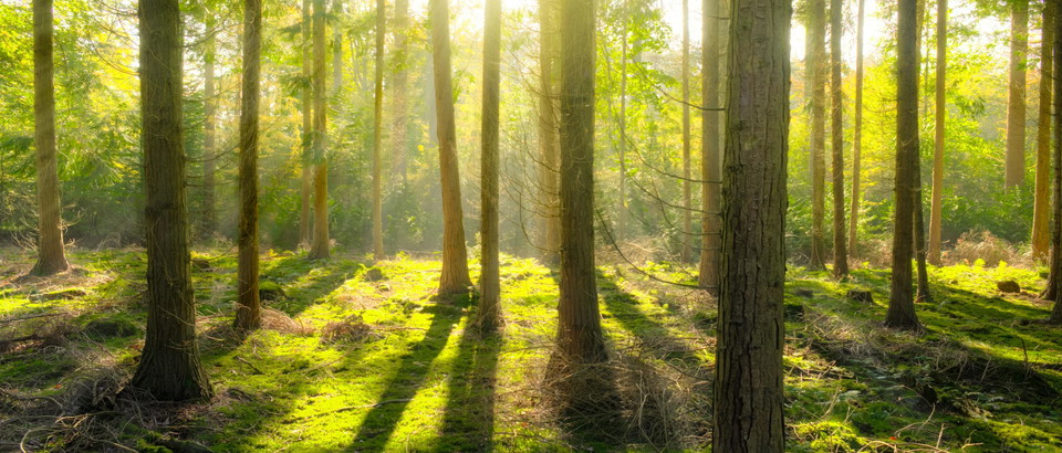
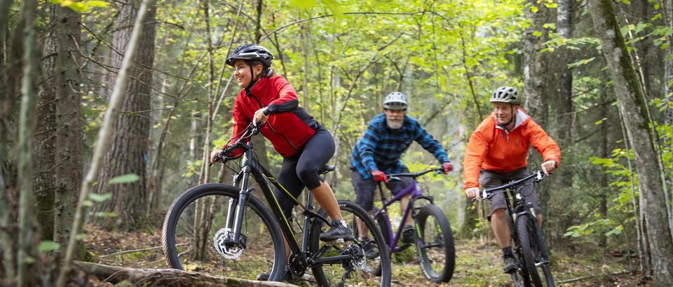
Natural forest paths with some roots and stones with some hilly terrain.
Hills
Övervägande milt kuperad terräng med inslag av mer kuperad terräng kring Landsberget.
Parking
At Landsberget hill, there are two parking lots, the upper and the lower.
Parking is also available at the historic iron foundry at Trummelsberg.
Communications
Directions
Parking is available at Landsberget hill or the Trummelsberg historic iron foundry.
At Landsberget hill, there are two parking lots, the upper and the lower. These can be reached via the exit to Landsberget from highway 66, about 10 km south of Fagersta. Follow the exit road for about 500 m for the lower car park and about 1.5 km to the upper car park.
The parking lot at Trummelsberg can be reached at the exit onto Trummelsbergsvägen road from highway 66, about 14 km south of Fagersta. Follow the gravel road for 4.5 km until you reach the parking lot in the old foundry area.
Regulations
Please be attentive of "Allemansrätten" - the Swedish right of public access. You can read more about your rights and obligations when in the Swedish nature on Visit Swedens website HERE.
Please be attentive to prevailing conditions, surroundings, and residents of the area. Exercise caution and comply with any instructions from local authorities, such as prohibiting the use of campfires or barbeques for example.
Downloads
Contact
Email address
I’ve been here 63








I want to go here 86



Reviews
—
2 reviews
- 5 :
- 4 :
- 3 :
- 2 :
- 1 :
Questions & Answers
Ask a question to other Naturkartan users.
Users images
Share your photos of the place!



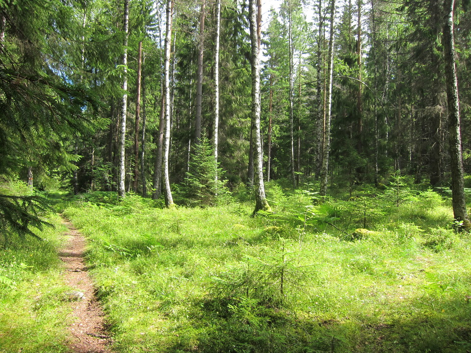

Väldigt fin led! Visst är det bitvis stenigt, men till största del väldigt lättvandrat. Jag som brukar snitta på 3km/tim snittade på 4km/tim på denna led. För den som vill sova över finns många naturliga lägerplatser vid bland annat St trehörningen och Bredasjön.