
-
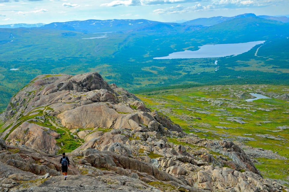
Photo: Sam Hedman
Led till Atoklimpens topp
- Hiking
- County: Västerbottens län
- 6347.92 km away from you
Trail details
- Length 4.0 km
Actions
Description
Activities And Facilities
- Hiking
Parking
Parking is available at road 1116 (Krutfjällsvägen). Park your car there and then follow the gravel road to Atostugan on foot where the trail then begins. Disabled parking is available right next to the entrance to the Atoklimpen cultural reserve.
Directions
Atoklimpen is 4 km west of Tärnaby. In Västansjö turn towards Joesjö/Hattfjelldal and after Boxfjäll, 2 km before the national border, Atoklimpen is on the left. Signposted.
Contact
Email address
Länsstyrelsen Västerbotten
Organization logotype

Please be aware that some of these texts have been automatically translated.
I’ve been here 49














I want to go here 37



Questions & Answers
Ask a question to other Naturkartan users.
Reviews
2 reviews
- 5 :
- 4 :
- 3 :
- 2 :
- 1 :
Users images
No user images yet. Be the first to share!


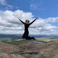
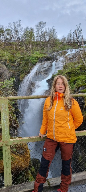
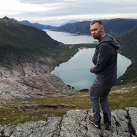
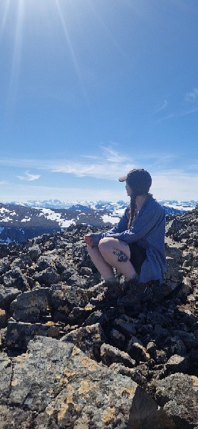
Helt otroligt, en häftig vandring upp på toppen. Helt magiskt.