
Kullerbacksrundan
- Hiking
- Walking
- Running
- Near parking
- Circular trail
- County: Västerbottens län
- 6492.68 km away from you
Trail details
- Length 6.5 km
- Difficulty Blue - medium
Actions
Description
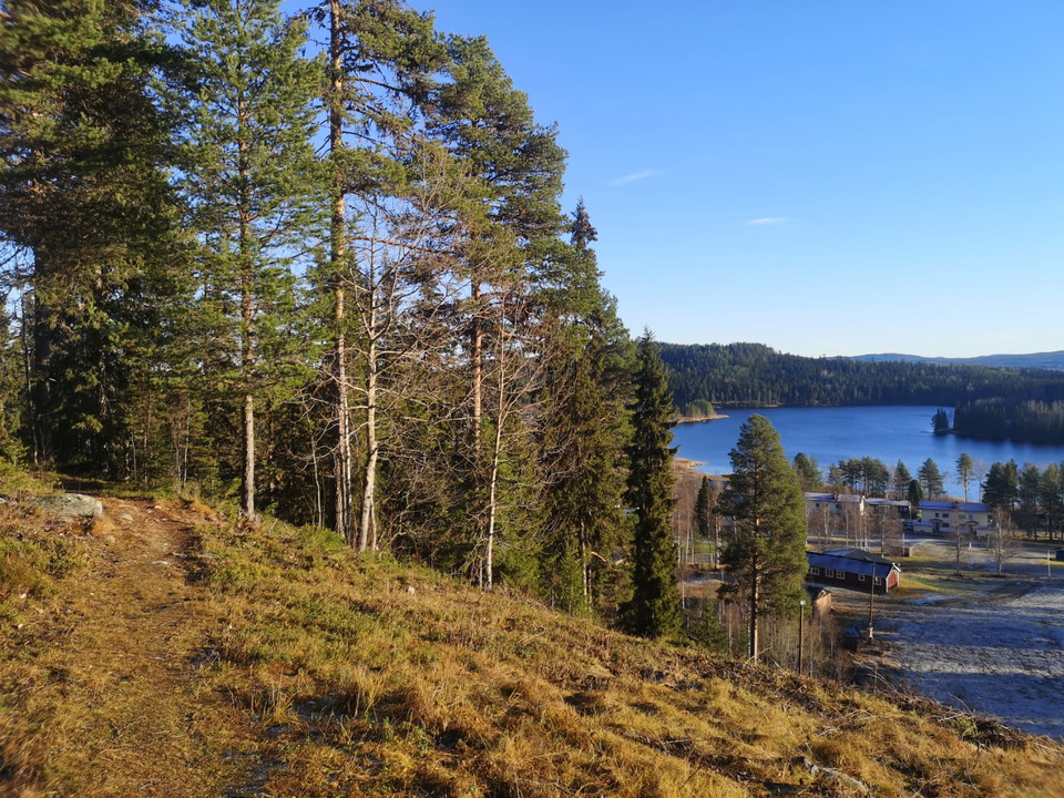
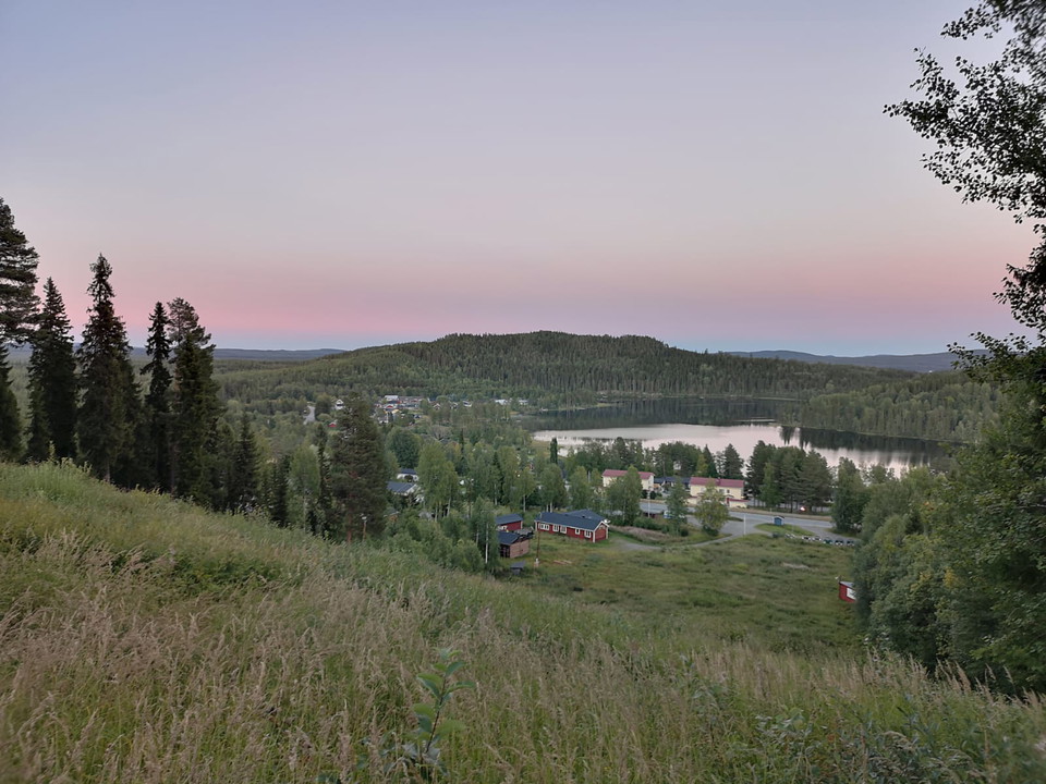
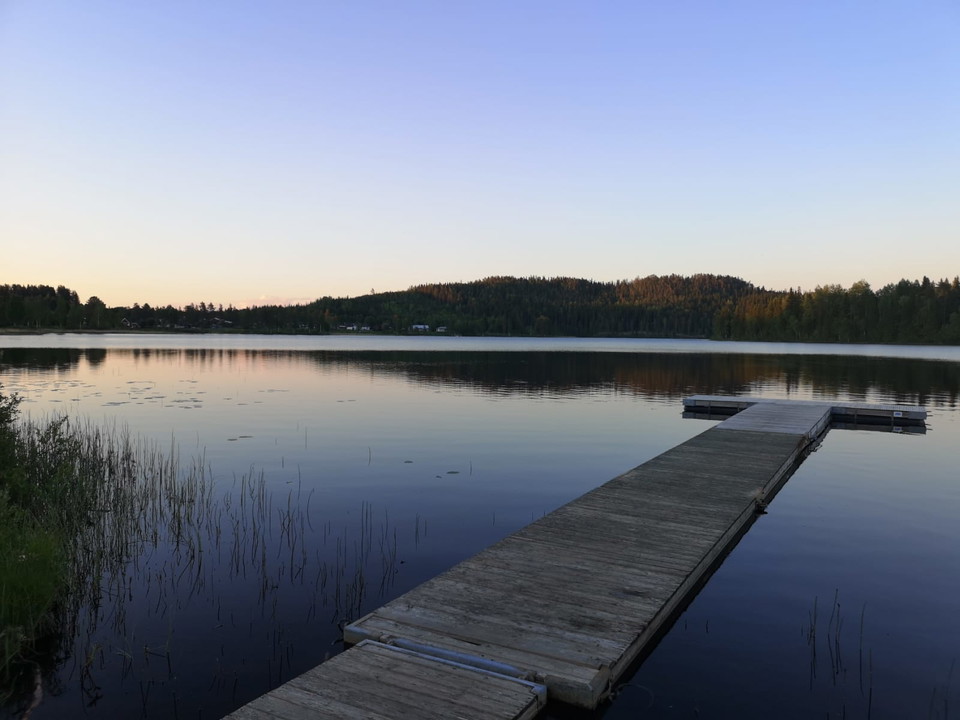
Kullerbacksrundan offers both interesting culture and beautiful nature right next to the community. Start the tour by following Sjöslingan around Bergvattensjön. At the far end of the lake, you turn off towards the slalom slope, which is located in the middle of Dorotea. You walk through fine coniferous forest and cross some small bogs before you start the climb up to the slalom slope. Here you get a fantastic view of Dorotea and towards Lajksjön. On the slalom slope there is a shelter with a barbecue area where you can relax for a while.
After the shelter, the trail continues across the slalom slope and then follows the road down towards Kullerbackens hembygdsområde.Hembygdsområdet is well worth a visit and here you will find older buildings such as a baker's cottage, rafting hut, hut and njalla.
When you come down from Kullerbacken and have passed Dorotea church, follow the E45 back to the start. If you're in the mood for a coffee, you'll also pass Dorotea Konditori with their fantastic pastries at the end of the trail.
Activities And Facilities
- Walking
- Running
- Hiking
- Circular trail
Accessibility
- Near parking
Surface
Gravel surface along Bergvattensjön and Sjöslingan. Then it is a forest path with shorter sections that are shingled.
Hills
Mainly flat around the lake with a slightly steeper climb up to, and down from, the slalom slope.
Parking
Parking is available at Bergvattensjöns T-bridge along the E45.
Directions
Start the hike at the T-bridge at Bergvattensjön. From here it is signposted towards Kullerbacksrundan.
Contact
Email address
Ulrika Stenberg
Please be aware that some of these texts have been automatically translated.
I’ve been here 2

I want to go here
Questions & Answers
Ask a question to other Naturkartan users.
Reviews
0 reviews
- 5 :
- 4 :
- 3 :
- 2 :
- 1 :
Users images
No user images yet. Be the first to share!
