
-
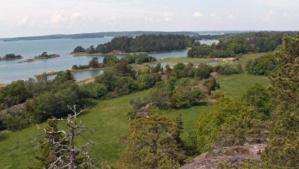
Photo: Länsstyrelsen Stockholm -
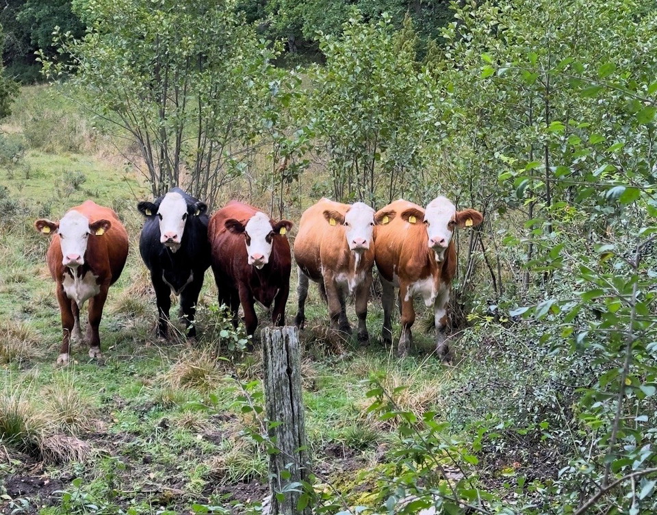
Betesdjur på Eriksö.
Photo: Länsstyrelsen Stockholm -
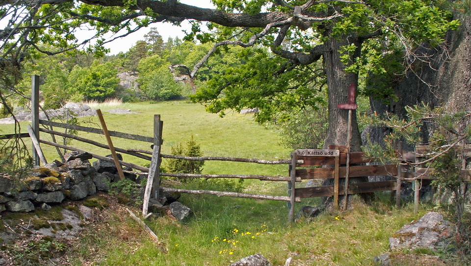
Photo: Länsstyrelsen Stockholm -
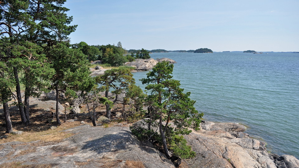
Photo: Anna Lindblad -
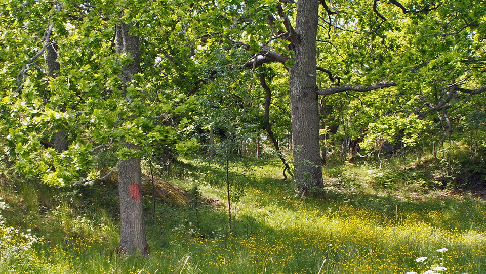
Photo: Länsstyrelsen Stockholm
Eriksö nature reserve
- Nature reserve
- County: Stockholms län
Actions
Currently
The nature reserve has areas affected by spruce bark beetle. Many spruce trees have died and may fall over time. Please be cautious and avoid visiting such areas during windy weather.
The beetles only attack living trees and do not remain in dead wood. Dead trees are left in place to support biodiversity, as they provide important habitats for wildlife, mosses, and lichens.
Description
Activities And Facilities
- Nature reserve
Facts
Protected since: 1998
Size: 578 hectares of which land 293 hectares
Nature type: archipelago, deciduous forest and cultivated landscape
Municipality: Södertälje
Owners: the Swedish Environmental Protection Agency and private landowners.
Manager: County Administrative Board
Form of protection : nature reserve
Directions
Eriksö nature reserve is located on southwestern Mörkö, 6 kilometers northeast of Trosa. The easiest way to get here is by car.
By car: Drive to Mörkö. By Idala, turn south following the sign "Naturreservat" and drive towards Eriksö.
By public transit: The nearest bus stop is far from the reserve. Take bus 787 from Södertälje centrum to the Idala bus stop, then walk 7 km south to Slessberget. For current information on public transit, see: SL.se
Regulations
In order to protect the Eriksö nature reserve, please respect the following rules.
Within the reserve, it is forbidden to:
- destroy or damage permanent natural structures or surfaces by drilling, cutting, blasting, scraping, carving, painting, or similar,
- break branches, fell, or in any other way damage living or dead trees or bushes, or damage the vegetation in general by digging up shrubs, herbaceous plants, grasses, mosses and lichens,
- disturb wildlife (e.g. by climbing nesting trees, trapping or killing mammals, birds, reptiles, or amphibians). It is forbidden to kill seals caught within the context of commercial fishing.
- bring dogs, cats, or other pets that are not on a leash,
- anchor a boat for more than two consecutive nights in the same place,
- camp for more than two consecutive nights in the same place,
- fish in Boviken bay from April 1-July 31.
Contact
Email address
Länsstyrelsen i Stockholm
Organization logotype
Please be aware that some of these texts have been automatically translated.
I’ve been here 22




I want to go here 50


Questions & Answers
Ask a question to other Naturkartan users.
Reviews
1 review
- 5 :
- 4 :
- 3 :
- 2 :
- 1 :
Users images
No user images yet. Be the first to share!

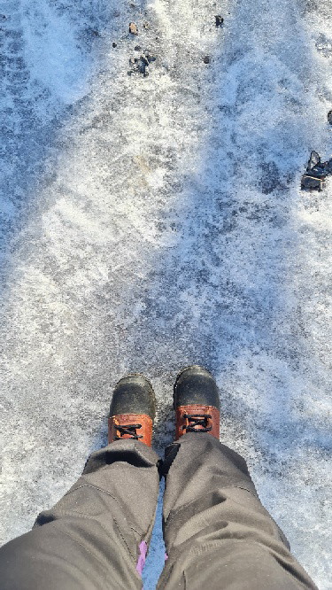
I visited on a sunny day in March.
Cross the small, wooden bridge (max 3.5 ton), and immediately on the left is the parking space.
It has a 6 - 8 km of round trip walking. IMHO, only the first 3-3.5km(one-way) is worth it, till you reach a shore of Mörköfjärden, then return to the parking. If you proceed further west, you might have to walk through marshes, often having cow dung scattered.
The route I took:
Parking - take left - Grönvik - Kättsö - parking. This was around 6km. You pass by most of the farms on this island - Fridhem, Gullberga, Harburen. You also get good views of the islands Björkholmen, Vassklubben, and Lilla Lindskär.
Keep an eye on the orange marks made on trees, and rocks, these will guide you on the trail.