
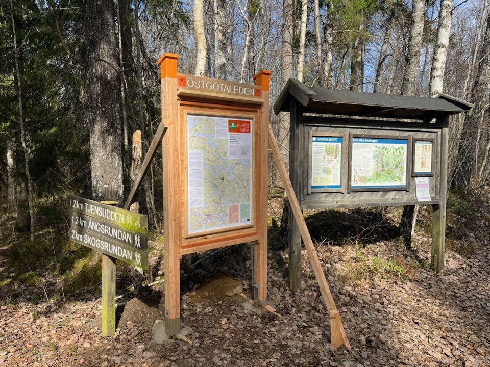
Tjuttorp, startplats
- Entrance
- Rest area
- Information
- Parking
- County: Östergötlands län
- 6757.60 km away from you
Actions
Description
Tjuttorp acts as a hub for the Östgötaleden trail. From here you can choose to walk northwest towards Regna or east towards Falsnäset and on to Rejmyre. From Falsnäset you can continue your hike towards Sörsjön in Norrköping municipality. If you choose the trail south, you can reach Bönnernbadet and Finspång.
At Tjuttorp nature reserve there is parking and a rest area. The nature reserve and its facilities are managed by the County Administrative Board of Östergötland.
Östgötaledens connecting stages:
- Bönnern - Tjuttorp
- Regna - Tjuttorp
- Falsnäset - Tjuttorp
Activities And Facilities
- Rest area
- Information
- Entrance
- Parking
Contact
Address
Välkommen till Östgötaleden, 150 mils vandring i Östergötland!
Email address
Kontakt Östgötaleden
Organization logotype

Please be aware that some of these texts have been automatically translated.
I’ve been here
I want to go here
Questions & Answers
Ask a question to other Naturkartan users.
Reviews
0 reviews
- 5 :
- 4 :
- 3 :
- 2 :
- 1 :
Users images
No user images yet. Be the first to share!
