
Gårdsjötorp – Högsta punkten loop trail 6,5 km
- Hiking
- Running
- Circular trail
- County: Örebro län
- 6681.55 km away from you
Trail details
- Length 6.2 km
Actions
Description
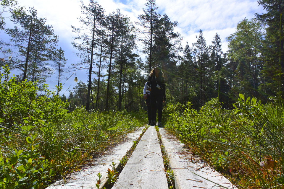
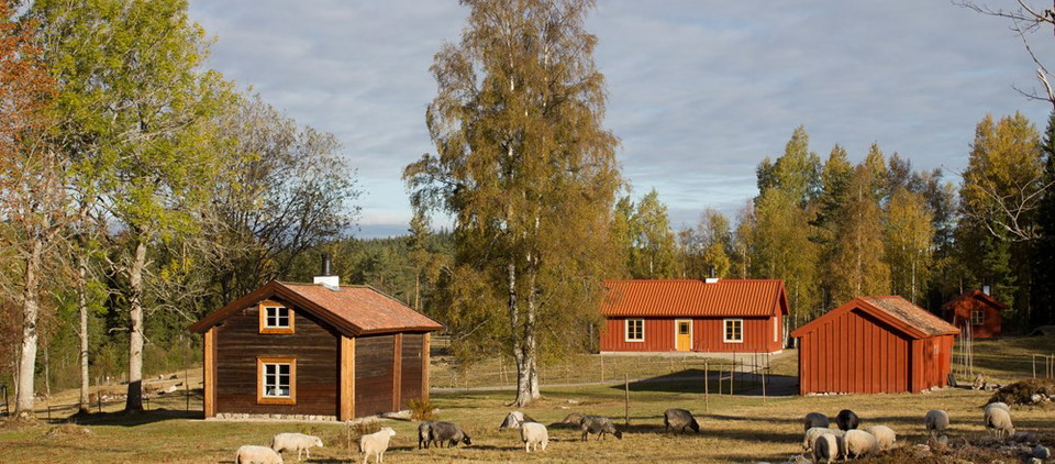
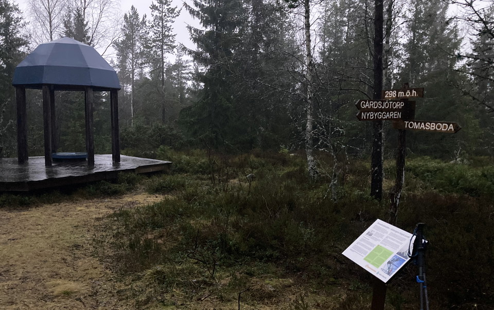
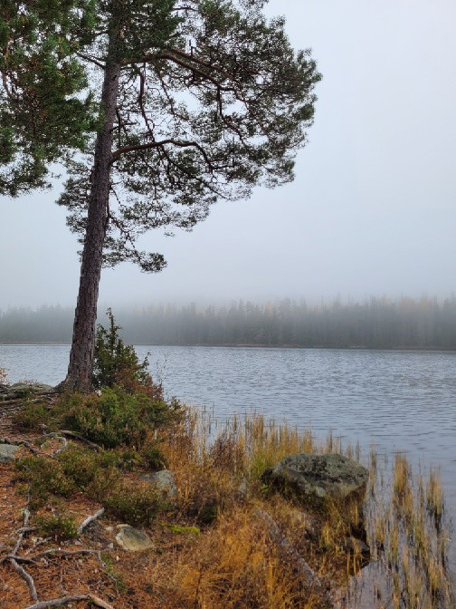
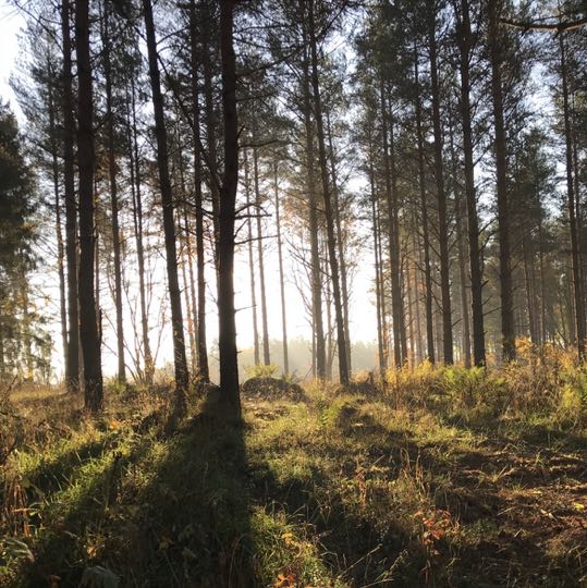
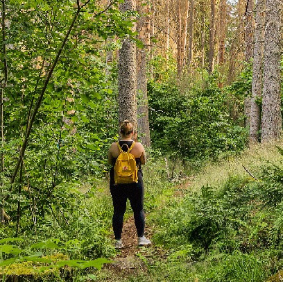
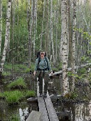
The trail leads you up to the highest point in Kilsbergen, where you can greet Nybyggaren, a carved wooden figure standing beside the path awaiting your arrival. You can also take a well-earned break at the resting place at Tomasboda. Why not make the whole experience even more unique by booking accommodation at the charming Gårdsjötorp? The trail, marked in blue, links up with Stage 9.
Activities And Facilities
- Running
- Hiking
- Circular trail
Directions
Gårdsjötorp is about 30 minutes drive from Örebro. Drive towards Frösvidal. Then take the road that leads to Trolldalen and Lövbrickan. After 300 meters turn left. From here it is signposted towards Gårdsjötorp.
Downloads
Contact
Email address
Johan Karlström
Organization logotype

Please be aware that some of these texts have been automatically translated.
I’ve been here 26




I want to go here 69





Questions & Answers
Ask a question to other Naturkartan users.
Reviews
0 reviews
- 5 :
- 4 :
- 3 :
- 2 :
- 1 :
Users images
No user images yet. Be the first to share!
