Loftahammarsrundan
- Municipality: Västervik
- 6850.71 km away from you
- 3.0 km
- Difficulty: Green
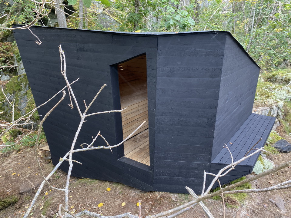
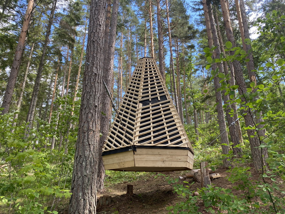
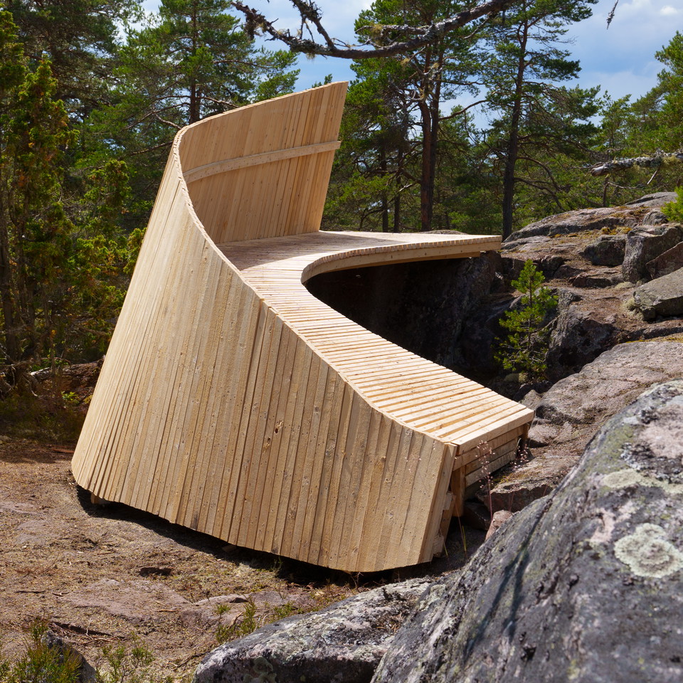
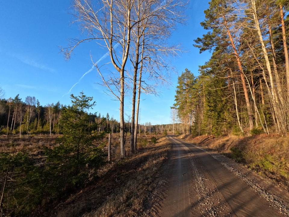
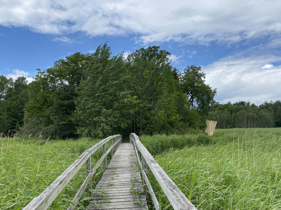
An easy round trip of about a mile that takes you to the new Tuva windbreak at Vivassen.

Västervik
Naturkartan samlar de vandringslederna i Västervik som är populärast bland våra användare.
An easy round trip of about a mile that takes you to the new Tuva windbreak at Vivassen.
**A lovely trail of about 2 km that takes you through exciting nature, past quarries and up the mountain with a göl on the side. During the walk you will pass the Rock View shelter, created in 2024 in connection with the ArkNat architectural festival. The l…
**Experience a scenic 4 km circular trail in Loftahammar with fantastic views. This easily accessible trail can be followed all year round and offers beautiful scenery regardless of the season. The walk starts from the outdoor gym in Loftahammar, passes the…
**This beautiful hiking trail takes you along the sea, through the forest and the picturesque summer village of Annelund. During the walk you will pass three wonderful sandy beaches, so don't forget to bring your swimwear! There are fantastic views and cozy…
From the bathing area, in the middle of Edsbruk, you can walk a winding path through old pine forest and along Lake Storsjön. Along the path, on the slope towards Lake Storsjön, you will find one of the shelters built in connection with the ArkNat festival…
Hiking loop on path, gravel wall and then hilly terrain up Brändaskag that takes you to the Famn shelter.
Förslag på rundslinga som tar dig delvis på etapp 2 av Tjustleden och sedan tillbaka till Hjorted.
Förslag på rundslinga som tar dig delvis på etapp3 av Tjustleden och sedan tillbaka till Valstad.
Förslag på rundslinga som tar dig delvis på etapp 3 av Tjustleden och sedan tillbaka till Törnsfall.
Förslag på rundslinga som tar dig delvis på etapp 5 av Tjustleden och sedan tillbaka till Hallingeberg.
Förslag på rundslinga som tar dig delvis på etapp 6 av Tjustleden.
Förslag på rundslinga som tar dig delvis på etapp 7 av Tjustleden och sedan tillbaka till Dalhem.
Förslag på rundslinga som tar dig delvis på etapp 8 av Tjustleden och sedan tillbaka till Björndalen.
Naturkartan samlar de vandringslederna i Västervik som är populärast bland våra användare.