Vandringsled 3,1 km
- Municipality: Laholm
- 6730.36 km away from you
- 2.9 km
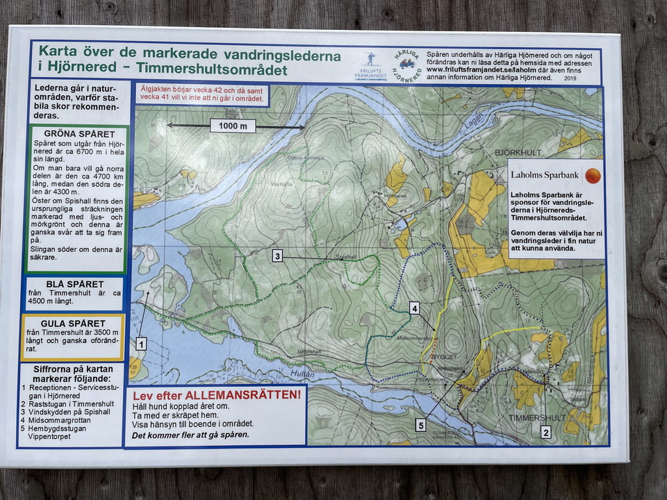
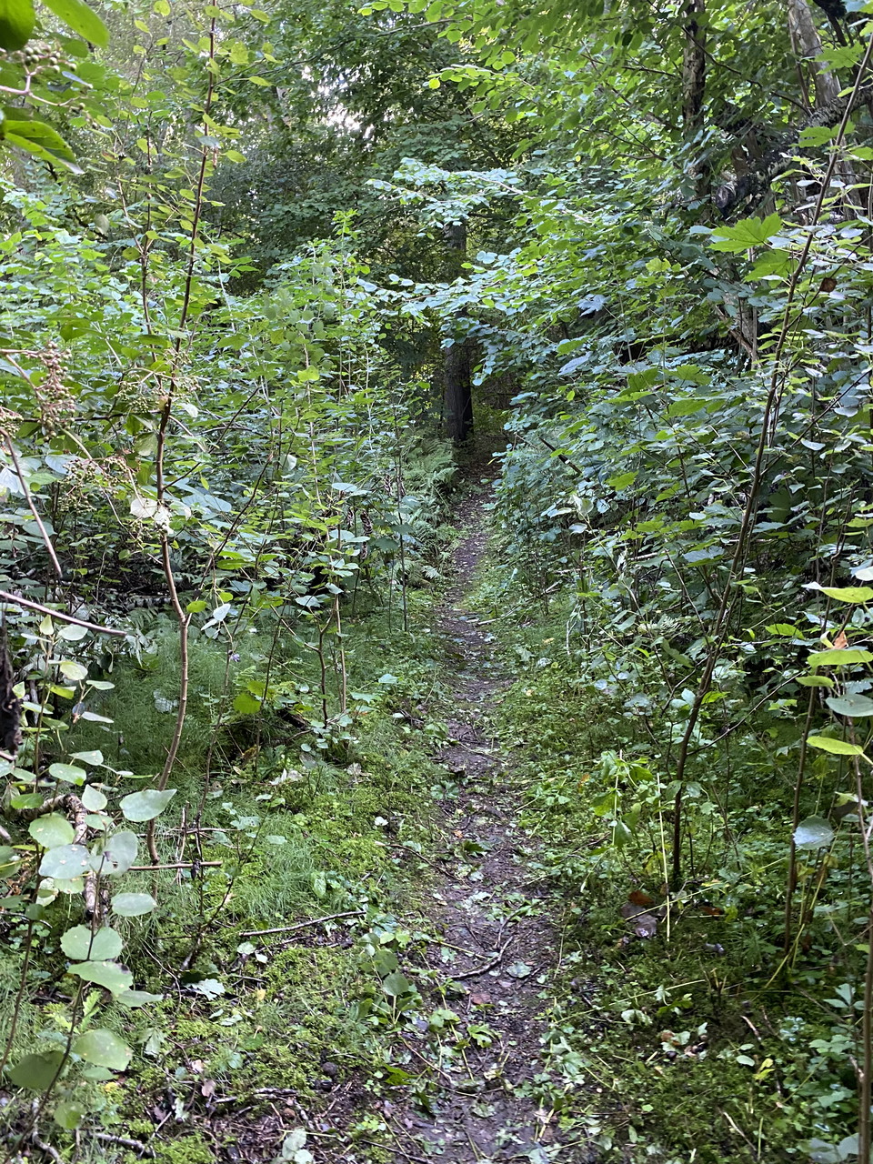
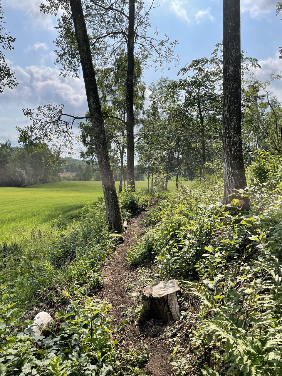
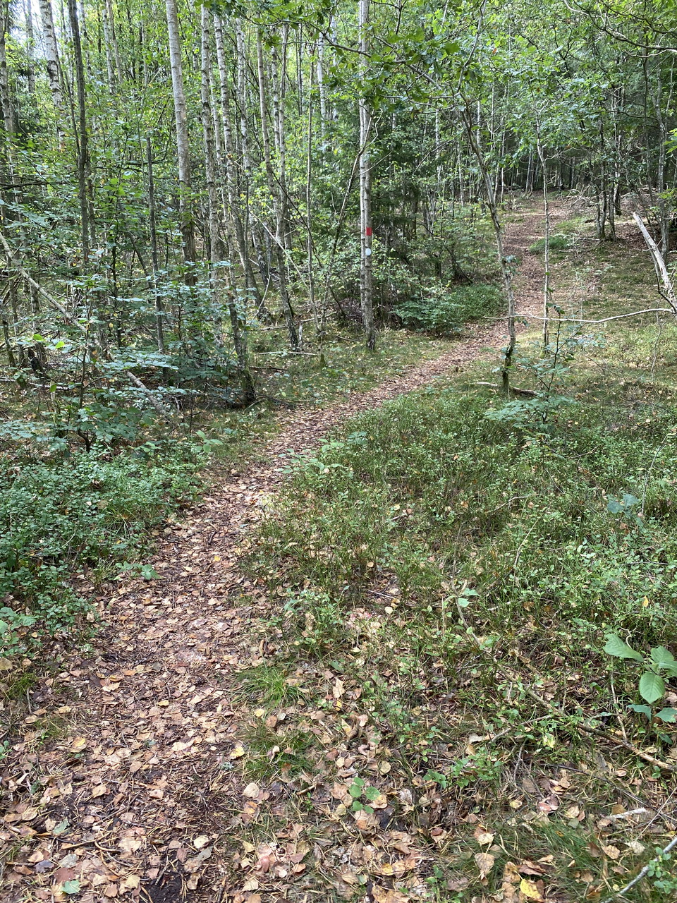
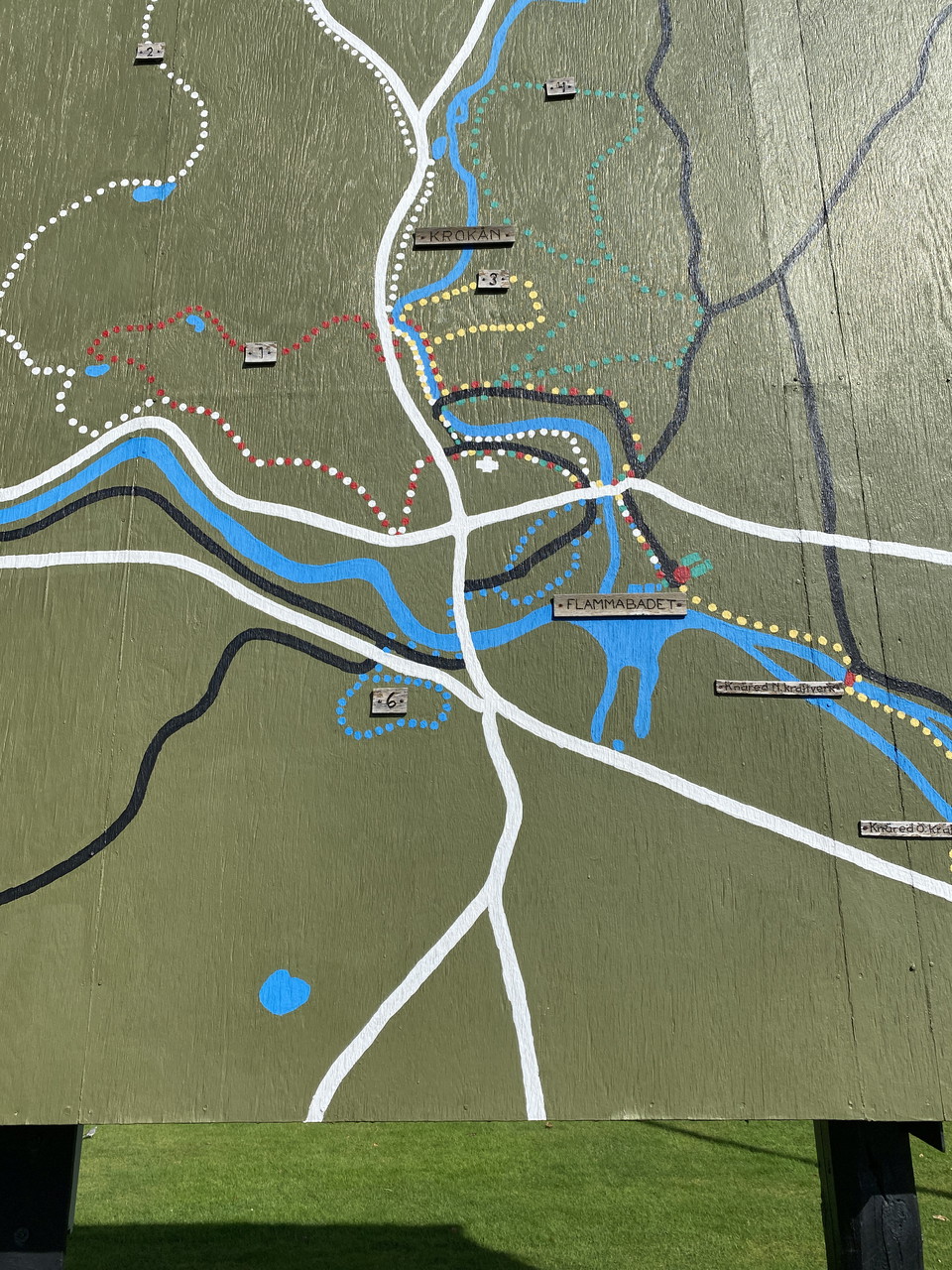
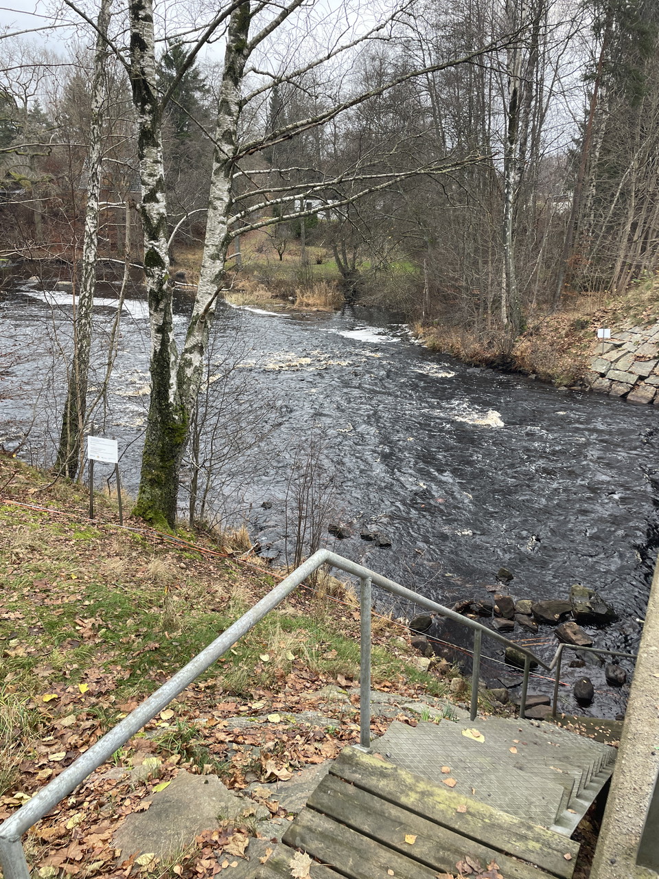
In the northern part of the reserve is this loop that runs through swamp forests, across pastures and along the river Lagan. Green marking

Laholm
Naturkartan samlar de vandringslederna i Laholm som är populärast bland våra användare.
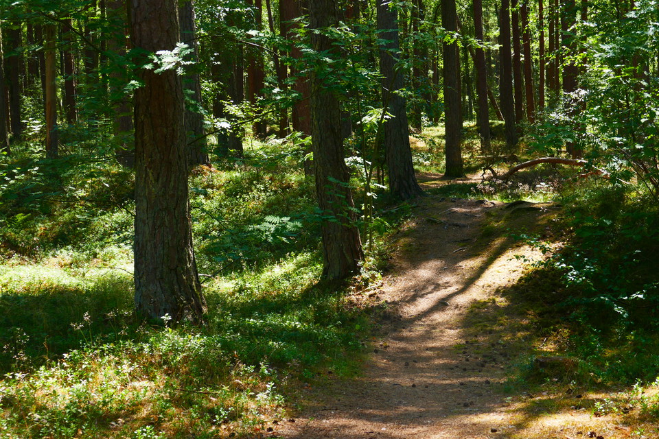
In the northern part of the reserve is this loop that runs through swamp forests, across pastures and along the river Lagan. Green marking
Runs parallel to the yellow trail most of the way but then extends further north in the eastern part of the reserve. Here you will experience both forest and open sandy areas.
The trail starts at the eastern parking lot and goes down around Hasslöv before turning back up through the forest. On the trail you can read about Linnaeus' disciple Osbeck and what the landscape here looked like in his time at the end of the 18th century.…
Green marking
Härlig naturslinga i vacker miljö, i både skog och vid sjö
Såghuslundsslinga is a circular trail in beautiful nature. Mixed forest, near Lagan. It is Laholm municipality's only nature reserve that has high forest values.
A tour that takes you in mixed terrain with , where robbers were located during the snapphane era. The tour goes partly through terrain, which can be damp at times.
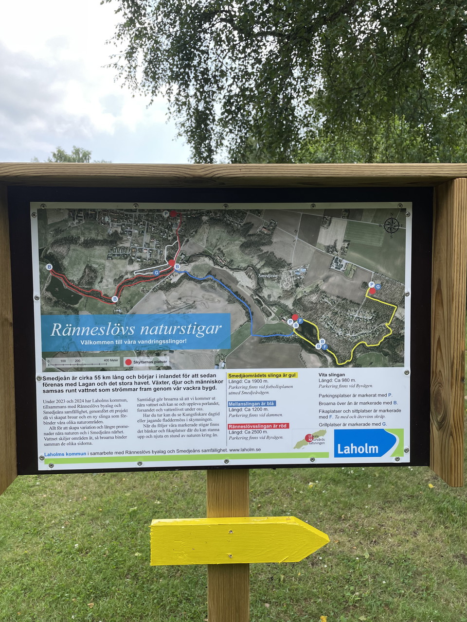
Walk along the beautiful Smedjeån river! The Semdjeån river is about 55 km long and starts inland before joining Lagan and the big sea. Here you get the chance to take part in a small piece of the Smedjeån when you walk this tranquility-filled hiking trail.…
The middle loop, new since summer 2024, connects the existing red loop and the yellow loop in the area. Ränneslöv nature trails. The nature trail in Ränneslöv and the Smedje area's loop have been connected to a total of about 6.5 kilometers, where you can c…
There is a good loop for the trained. Mixed nature, country road, forest and gravel road. Partly hilly but a very nice loop past water, nice forest etc.
A fun loop with a mix of walking in the village and in beautiful beech forest. You park at Lagavallen (Flammavägen) where there is also a toilet and fireplace. On Gröna vägen there is a playground / outdoor gym. You also pass a bank with ATM. Continue over…
This trail connects the reserve's hiking trails with the two loops that Region Halland has on its land up in Allgustorp. The trail is moderately easy and contains some hills. It partly follows several old roads and passes several prehistoric barrows and the…
A lovely long walk loop
The section starts at the historic Strandhotellet, built in 1927, and continues down the famous sandy beaches of Laholmsbukten, past the classic seaside resorts of Mellbystrand and Skummeslövsstrand. The hike takes you past Skummeslövsbadet, which was opene…
The trail passes through Halland’s largest Iron Age burial site, about 2000 years old, then continues along the beach heathlands past the Laxvik bathing area. It runs through the coastal forest at the Gullbranna Nature Reserve, crosses the Genevadsån river,…
Naturkartan samlar de vandringslederna i Laholm som är populärast bland våra användare.