
Påarp – Mellbystrand, Hallandsleden
- Hiking
- County: Hallands län
Trail details
- Length 13 km
- Difficulty Green - simple
Actions
Description
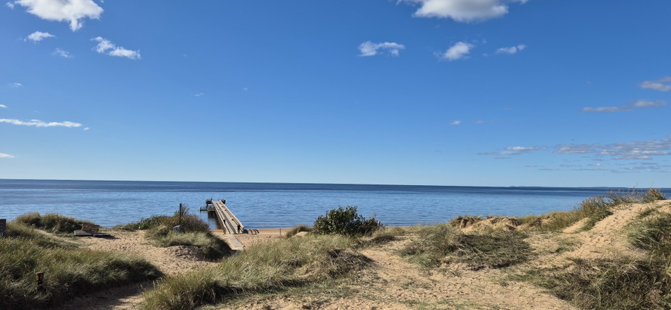
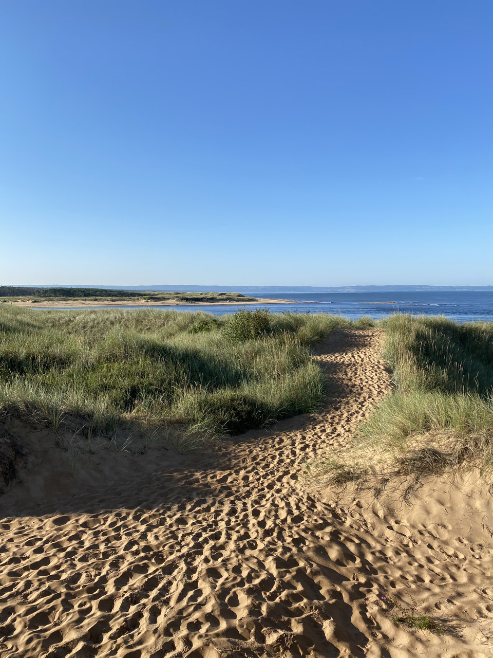
The trail passes through Halland’s largest Iron Age burial site, about 2000 years old, then continues along the beach heathlands past the Laxvik bathing area. It runs through the coastal forest at the Gullbranna Nature Reserve, crosses the Genevadsån river, and then enters the Tönnersa Nature Reserve. The Snapparp picnic site offers beautiful views over Lagaoset, the mouth of the Lagan river. The trail then continues over the Lagan river and into the Hökafältet Nature Reserve, then along the coastal road in Mellbystrand to the historic Strandhotellet and the bus stop.
Activities And Facilities
- Hiking
Downloads
Contact
Address
0430-15000
Email address
Kontaktcenter
Organization logotype

I’ve been here
I want to go here
Questions & Answers
Ask a question to other Naturkartan users.
Reviews
0 reviews
- 5 :
- 4 :
- 3 :
- 2 :
- 1 :
Users images
No user images yet. Be the first to share!
