Best hiking trails in Askersund

Askersund

Naturkartan samlar de vandringslederna i Askersund som är populärast bland våra användare.

Images

Map

32 Best hiking trails in Askersund

Hiking

Mariedammsleden

  • Municipality: Askersund
  • 6717.88 km away from you
  • 9.0 km
  • Difficulty: Blue

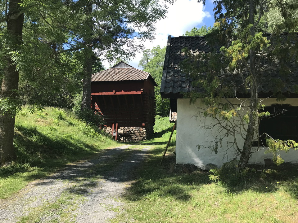
The Mariedamm trail runs through a mining-rich area with a lot of cultural history. Along the trail you come to Runsala meadow with a rich flora, there is also Runsala oak which is several hundred years old with a circumference of 540 cm. There is a rest ar…

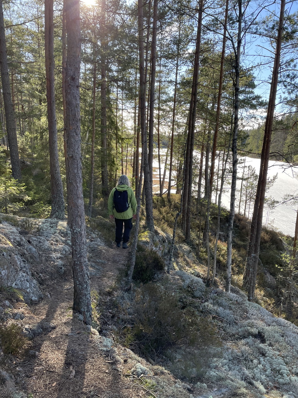
Hiking

Snårsjöleden

  • Municipality: Askersund
  • 6709.60 km away from you
  • 8.0 km
  • Difficulty: Blue

The Snårsjöleden trail starts at Vikens nature reserve in the north. There you follow the path south and eventually turn onto soft paths that lead you to Snårsjön. Along the lakeside there are several benches to rest at. Once you have rounded Snårsjön, you…

Hiking

Gråmon - Olshammar, Munkastigen etapp 5

  • Municipality: Askersund
  • 6694.77 km away from you
  • 17.0 km
  • Difficulty: Red

On the last stage of the Monks' Trail, you can enjoy exciting sights in the enchantingly beautiful nature of Tiveden. The stage begins in Gråmon where the monks are said to have spent the night halfway on their way to Olshammar. On the stage there is one of…

Hiking

Kyrksjön runt

  • Municipality: Askersund
  • 6709.58 km away from you
  • 3.8 km
  • Difficulty: Green

Sometimes it's nice to be able to take a short walk. This walk is unmarked but still easy to find with the help of the map. You follow paths along sand dunes and an old embankment. The embankment runs over a bog where peat was once mined and remnants of tha…

Hiking

Barmarksled, Rå uddar

  • Municipality: Askersund
  • 6717.14 km away from you
  • 4.0 km
  • 1 min
  • Difficulty: Blue

Från klippstränderna i naturreservatet Rå uddar har man en magnifik utsikt över Vättern. De glesa tallskogarna och hällmarkerna övergår inåt land i en gammal granskog. Tack vare den kalkrika berggrunden finns en artrik svampflora och många spännande växter…

Hiking

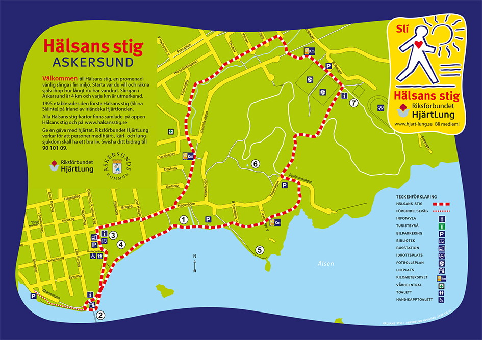
Hälsans stig - Askersund

  • Municipality: Askersund
  • 6706.02 km away from you
  • 4.0 km

The trail is 4 km and goes along nice walking paths along Strandpromenaden, Borgmästareholmen, Sjöängen, Insikt - Utsikt, Hagabadet, Askersunds hembygdsgård and Solberga Idrottsplats.

Hiking

Norra Vätternleden

  • Municipality: Askersund
  • 6701.15 km away from you
  • 25.1 km
  • Difficulty: Blue

Norra Vätternleden is the start of a three-day round trip that goes from Olshammarsgården along the shore of Lake Vättern and up past some smaller lakes to Stenkällegården. The trail is under development so at the moment it is mostly smaller gravel road or…

Hiking

Lindbomossen, vandringsled

  • Municipality: Askersund
  • 6705.53 km away from you
  • 2.1 km

The Lindbomossen hiking trail is a short hiking loop of 2 km. It starts from the parking lot at Sibylla. The trail runs through a landscape with several open water areas and smaller hills restored through a LONA project. Water is led in from Dohnaforsån and…

Hiking

Vandringsled Klåvudden

  • Municipality: Askersund
  • 6713.98 km away from you
  • 1.1 km
  • Difficulty: Blue

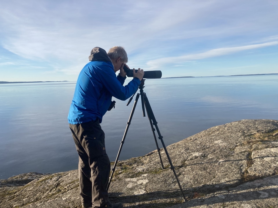
Klåvudden is a well-known migratory bird site. In spring, birdwatchers come here to look for eider, kittiwake, blackbird, oystercatcher and sandwich tern, species otherwise associated with the east and west coasts. Most birds pass by early in the morning. G…

Hiking

Orkarebäcken vandringsled i naturreservat

  • Municipality: Askersund
  • 6715.32 km away from you
  • 3.0 km
  • Difficulty: Green

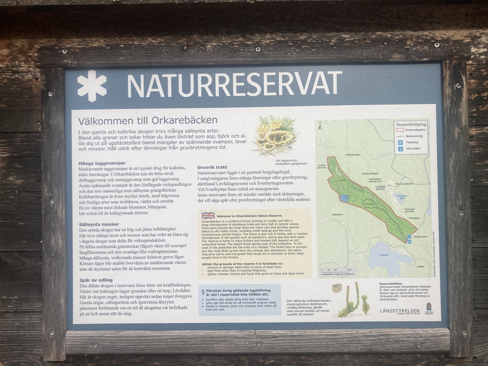
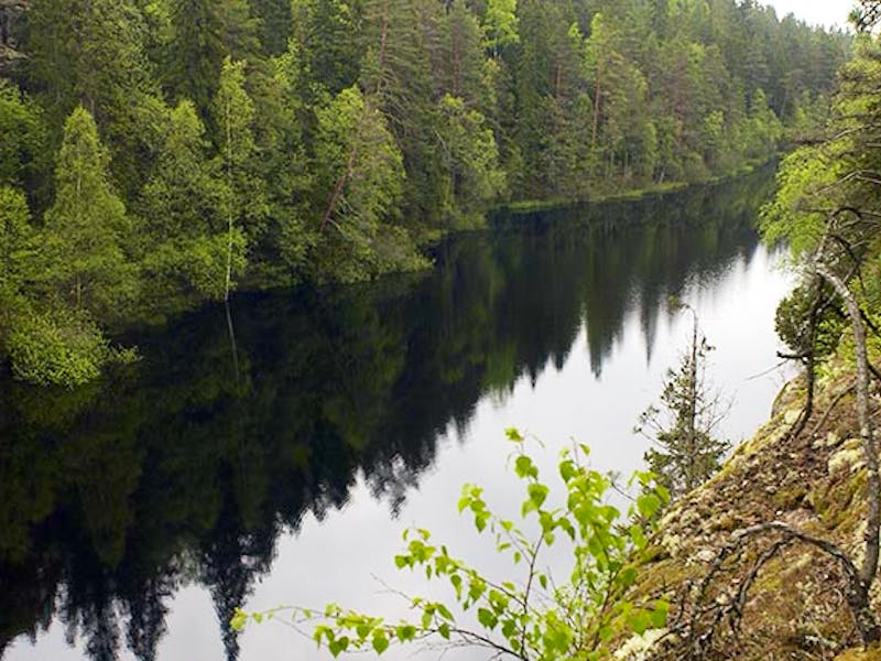
Naturreservatet Orkarebäcken är en kalkbarrskog med stort inslag av lövträd och mycket höga naturvärden. Särskilt bland svamparna finns många sällsynta och spännande arter knutna till gammal skog med kalkhaltig jord. Kalkrikedomen märks också på den örtrika…

Best hiking trails in Askersund

Naturkartan samlar de vandringslederna i Askersund som är populärast bland våra användare.

Naturkartan

Open this in the app