Naturkartan-appen kan behöva uppdateras för vissa användare

Användare av Naturkartans app för Android rapporterar i sommar att appen är seg mm. Vi rekommenderar att man raderar appen helt från sin telefon i så fall och laddar ned igen! Då skall den fungera bättre. Den befintliga appen skall ersättas av en ny app efter sommaren. Den gamla appen laddar all data för hela landet lokalt i appen (för att klara offline-läge) men det innebär att den blir för stor för vissa telefoner - då behöver den raderas och laddas ned igen!

Södra Vätterleden stage SV3 Norrahammar - Strömsberg - Part of Smålandsleden

  • Hiking
of 5 stars

Trail details

  • Length 14.5 km
  • Time 3 h 40 min
  • Difficulty Blue - medium

Actions

Description

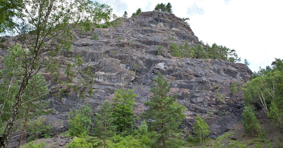
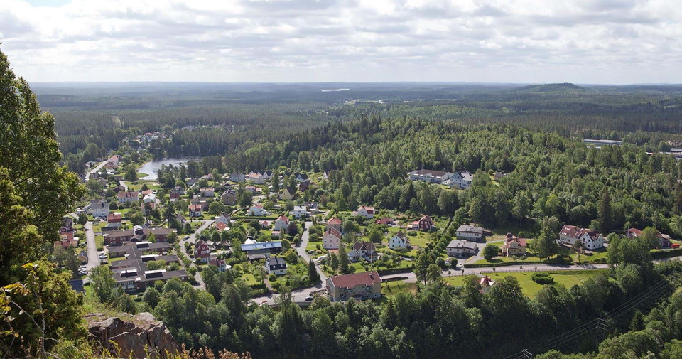
Stage SV3 between Norrahammar and Strömsberg is a shorter stage that can be extended through Tabergsrundan. You pass places that are linked to Tabergs Bergslag where ore began to be mined as early as the 1400s. In 1890 the mine was closed but during the Second World War mining resumed for a few years. Now the mine shafts are open for guided tours where you can get close to bats, among other things.

The stage ends at the Strömsberg nature reserve, where almost all of Sweden's tree species are represented. Here it is not far to the public transport to take you into the center of Jönköping.

Weather forecast (at 12:00)

Loading...

Get here by public transport

Activities And Facilities

  • Hiking

Downloads

Contact

Email address

Please be aware that some of these texts have been automatically translated.
I’ve been here

I want to go here 1

Questions & Answers

Ask a question to other Naturkartan users.

Reviews

0 reviews

of 5 stars

5 :
0.0%
4 :
0.0%
3 :
0.0%
2 :
0.0%
1 :
0.0%

Users images

No user images yet. Be the first to share!

Naturkartan

Open this in the app