Anslutningsled Busshållplats Rejmyre
- Municipality: Finspång
- 0.7 km
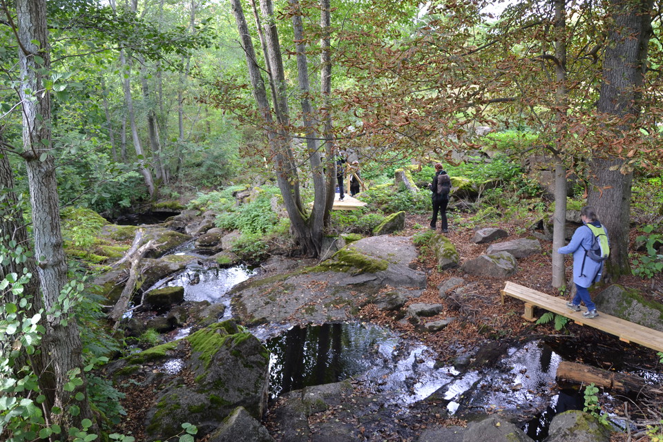
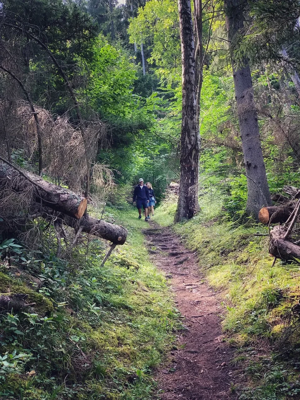
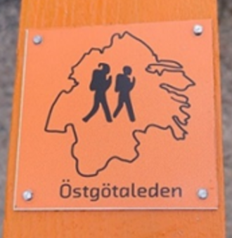
Marked connecting trail from bus stop to the start of the Östgötaleden stage for Rejmyre-Falsnäset. You can travel to/from Rejmyre by public transport.

Östergötlands län
Naturkartan samlar de vandringslederna i Östergötlands län som är populärast bland våra användare.
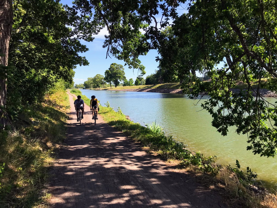
Marked connecting trail from bus stop to the start of the Östgötaleden stage for Rejmyre-Falsnäset. You can travel to/from Rejmyre by public transport.
Marked connecting trail that takes you to the Gäddån windbreak.
In connection with the Orrnässlingan trail, it is possible to make a detour along the Orrnäsån river via the cultural trail. There are several ancient remains worth discovering! The Orrnäs cultural trail also highlights how small watercourses were very impo…
St. Birgitta Ways runs along the Franciscus Trail. For more detailed information about the route, visit the Franciscus Trail website. Byarum - Måsarp, 17.9 km Trail markings: red and white lines and/or the Saint Birgitta Ways symbol Walks on gravel roads, f…
IN BRIEF Total length: 51 km Number of sections/Hiking days: 2-3 Length of sections: 11-26 km/day (4-8 hours of hiking per day) Places for food and accommodation: Pilgrim-friendly accommodation and places to eat can be found on the digital map guide below.…
The Jönköping-Vadstena stretch is one of the Nordic countries' most beautiful pilgrimage routes, a kind of Sweden in miniature with meadows, lush deciduous forests and red cottages with white knots. A seven to nine day hike along Sweden's second largest lak…
The Linköping -Vadstena route is a beautiful and easy hike that is especially suitable for those who are hiking for the first time. The trail runs from Linköping Cathedral via Vreta Monastery and continues along the Göta Canal with many and varied accommoda…
From Vårdnäs you can hike through northern Europe's best-preserved oak landscape. Take the opportunity to experience the beautiful Vårdnäs diocesan farm before you set off on a pilgrimage that qualifies you for the Birgitta Pilgrim Certificate. IN BRIEF Tot…
The Söderköping-Vadstena route is a pilgrimage route in the open Östgothic landscape, from the small town idyll of Söderköping, through the diocesan city of Linköping to Saint Birgitta's city of Vadstena. A pilgrimage route that connects parts of Saint Birg…
St. Birgitta Ways -South börjar i Hamburg i Norra Tyskland, går genom Danmark vidare genom Sverige: Skåne, Småland och Östergötland till Vadstena. Den binder på så vis samman Vadstena med övriga pilgrimdestinationer i Europa. Nästan varje dagsetapp passerar…
From Borghamn you walk north along quiet country roads, dirt roads and open fields. Here you will encounter wide views of the plain and Vättern's blue the horizon. Just east of Borghamn is Bårstad outdoor swimming pool if you want to take a refreshing dip.…
The stage from Örberga takes you to the destination for the pilgrim, the abbey church in Vadstena. The trail crosses the Östgöta plain on a narrow, low-traffic asphalt road that winds its way between cornfields and open fields. Along your hike you will pass…
This is one of the most beautiful stages in Östergötland! The trail largely follows Lake Vättern with views of the lake and Omberg.The route is rich in historical sites and natural values. From Ödeshög, the trail follows an asphalt road for a few kilometers…
En vacker vandringsstig leder fram till utsiktspunkten Hisneklint. Här ges vyer över Åsunden och Västra Eneby.
Naturkartan samlar de vandringslederna i Östergötlands län som är populärast bland våra användare.