Östergötlands län

Ferry route

Map

10 Ferry route

Ferry route

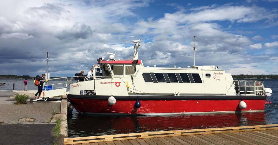
Turbåtar till Kopparholmarna

  • Municipality: Norrköping
  • 6829.72 km away from you

Head out to the beautiful Kopparholmarna nature reserve, about a 10-minute boat ride from Arkösund. The boats depart from the pier in Arkösund and the line is only operated during the summer period.

Park

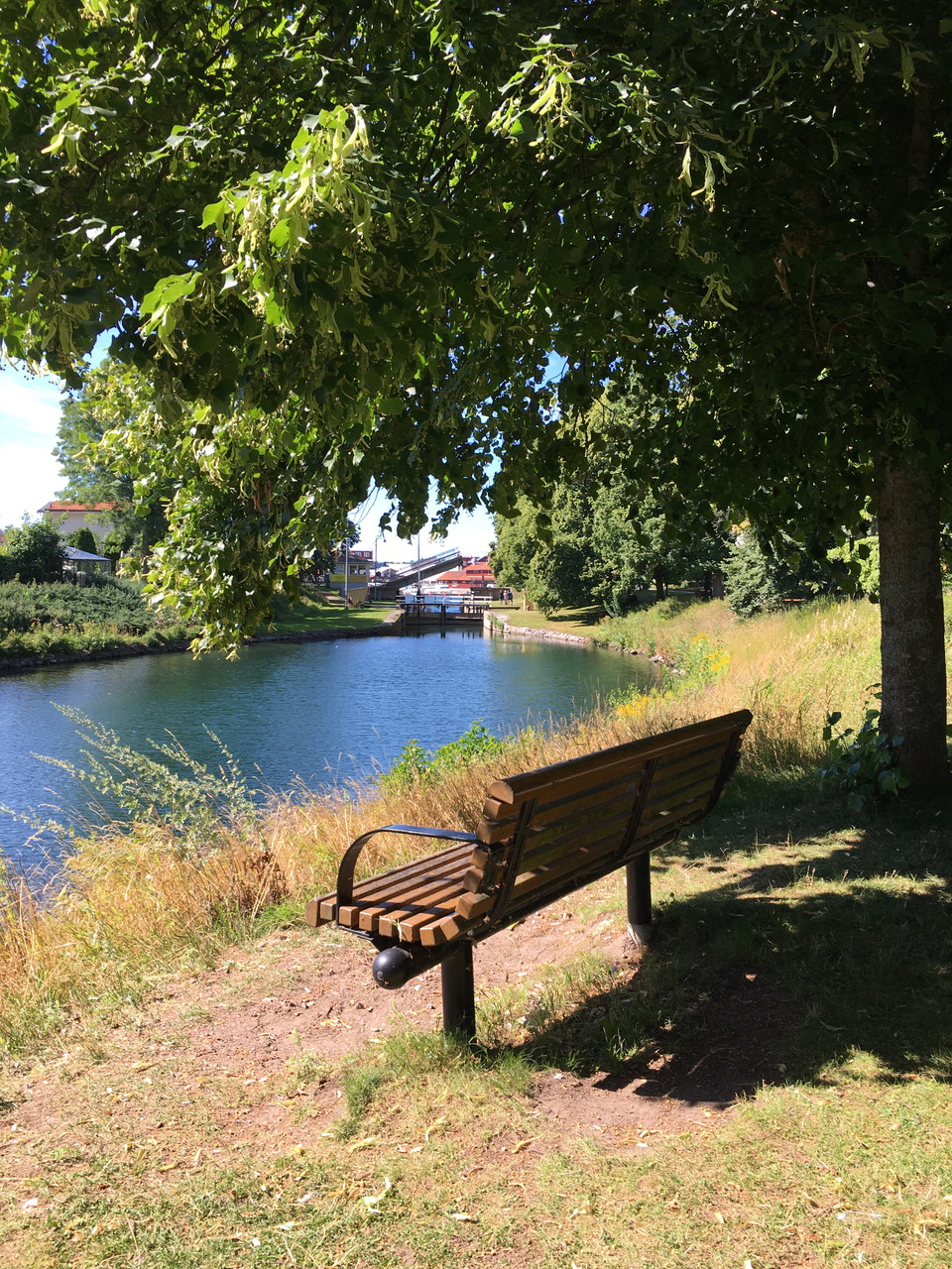
Kanalparken

  • Municipality: Motala
  • 6731.58 km away from you

Welcome to follow the locks up close in the canal park. Here you can sit down under the trees and enjoy the canal. At the lock you will find a work of art illustrating the start of construction of the Göta Canal in 1810. The canal engineer Thomas Telford su…

Hub

Fyrudden

  • Municipality: Valdemarsvik
  • 6842.06 km away from you

Fyrudden Fyrudden harbor has connections to bus and archipelago traffic. Paid parking, WC and drinking water. Restaurant, Overnight accommodation, Grocery store Fyrudden:Fyrudden - The sea around the corner

Entrance

Sundsudden, startplats

  • Municipality: Boxholm
  • 6761.71 km away from you

From Sundsudden you can take the liner Viktoria over to Torpön in the summer. The crossing takes about 5 minutes. In addition to hikers, the ferry also takes buses, cars and bicycles. Fee is paid on board. Here you will find timetable and prices. Just north…

Ferry route

Linfärjan Viktoria, Torpön

  • Municipality: Ydre
  • 6761.72 km away from you

The privately owned liner ferry "Viktoria" operates the 200 meter wide strait between Torpön and Blåvik during the summer. The crossing takes about 5 minutes. In addition to hikers, the ferry also takes buses, cars and bicycles. Fees are paid on board. Time…

Ferry route

Skenäsleden, vägfärja

  • Municipality: Norrköping
  • 6804.25 km away from you

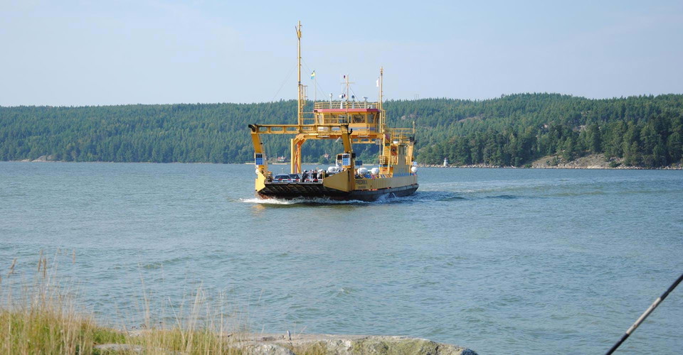
The Swedish Transport Administration ferry takes you across Bråviken. Skenäsleden runs between Skenäs and Säter in Bråviken. The ferry route is 1020 meters long. The journey with the road ferry is free of charge. You can find the timetable and more informat…

Ferry route

Stegeborgsleden, vägfärja

  • Municipality: Söderköping
  • 6815.13 km away from you

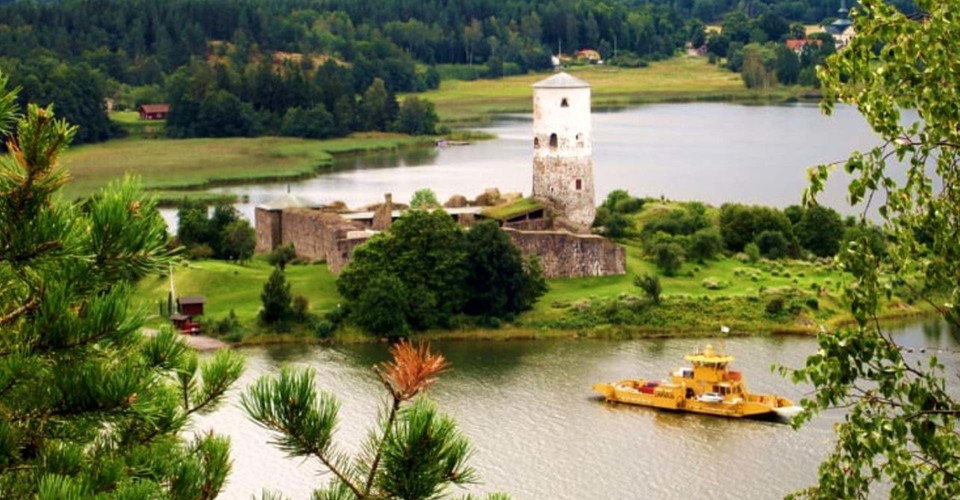
The Swedish Transport Administration ferry takes you across Slätbaken. Stegeborgsleden runs between Slottsholmen and Norrkrog in Slätbaken at Stegeborg. The length of the ferry route is 250 meters and the crossing time is three minutes. The journey by road…

Ferry route

Övre Föllingen, dragfärja

  • Municipality: Kinda
  • 6786.29 km away from you

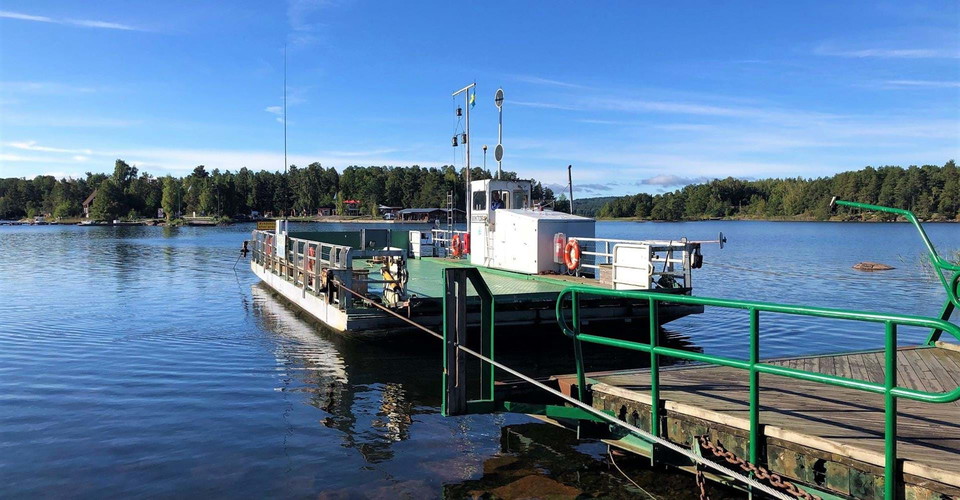
A ferry across the lake Övre Föllingen - a fun feature of the hike that is usually much appreciated, especially by children. During the winter months the ferry is not in the lake. (updated 2023-0-17/as)

Ferry route

Fyrudden, hållplats skärgårdstrafik

  • Municipality: Valdemarsvik
  • 6842.02 km away from you

From Fyrudden you can travel by public transport out into the archipelago with Östgötatrafiken. Public transport in the archipelago is open to everyone, but is primarily a charter service for those who live on the islands around Gryt, Sankt Anna and Arkösun…

Ferry route

Cykelbåt Asplången

  • 6790.44 km away from you

Som en del av cykelleden Göta kanal trafikerar en cykelbåt sträckan mellan Hulta och Snövetorp över sjön Asplången. Överfarten tar ca 20 min och båten tar 8 passagerare + cykel, per överfart. För- och eftersäsong: 9/5-11/6 och 17/8-6/9 Lördag och söndag 12.…

Naturkartan

Open this in the app