Dalarnas län

Bästa turskidåkningslederna i Dalarnas län

Naturkartan samlar de turskidåkningsleder i Dalarnas län som är populärast bland våra användare.

Map

13 Bästa turskidåkningslederna i Dalarnas län

Hiking

Sälenringen

  • Municipality: Sälen (Malung-Sälen)
  • 6489.00 km away from you
  • 36.8 km

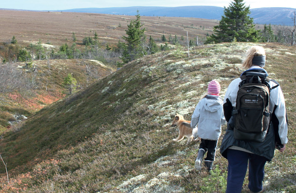
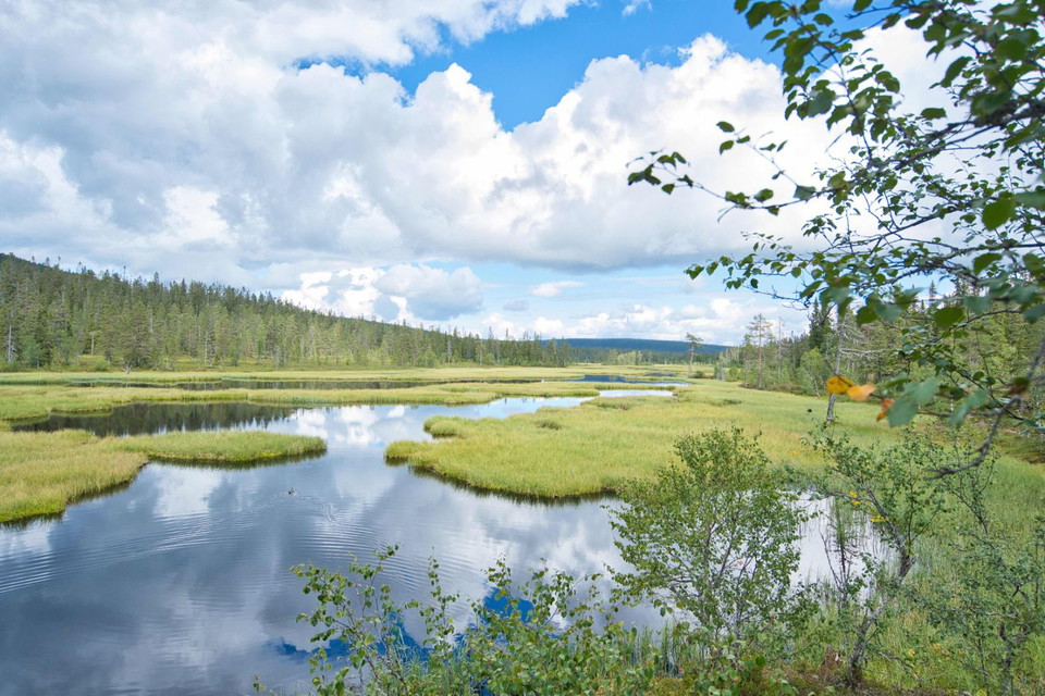
Sälenringen is a trail around Sälenfjällen that is approximately 65 km long. It is used all year round by both hikers and skiers. Many choose parts of the trail, while others walk or ski the entire trail. It is often divided into Norra Sälenringen and Södra…
Hiking

Syndalsturen

  • Municipality: Sälen (Malung-Sälen)
  • 6490.44 km away from you
  • 15.0 km
  • 180
  • Difficulty: Blue

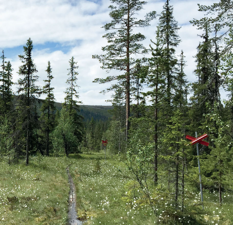
You can park your car by Myrflodammen, follow the red trailmarks to the left to Myrflodammen. Easy hiking trail through amazing scenery with rich bird life. After about 2,5 km you are coming to a rest area called ”Kläppenskjulet”, a nice place where you can…

Skiing

Myrflodammen runt

  • Municipality: Sälen (Malung-Sälen)
  • 6492.82 km away from you
  • 7.6 km

Hiking

Hundfjällsslingan

  • Municipality: Sälen (Malung-Sälen)
  • 6489.00 km away from you
  • 12.0 km
  • 180
  • Difficulty: Red

Drive road 66, past Hundfjällets skiresort, approximately 2 km, to a small lake on your right side. Opposite the road is a parking place and the start point for Hundfjällsslingan. After about 2 km the hikingtrail turn aside to Hundfjällskölen and Skogsäters…

Hiking

Stor-Närfjällsleden

  • Municipality: Sälen (Malung-Sälen)
  • 6488.13 km away from you
  • 15.0 km
  • 300
  • Difficulty: Red

Start this trail at Myrflodammen. In the beginning, the trail crosses several small bogs where there are plank walkways. It continues through the valley between Stor-Närfjället and Lägerdalsfjället. After about 3,5 km, you arrive at the Kruggbäcken valley,…

Hiking

Lill-Närfjällsleden

  • Municipality: Sälen (Malung-Sälen)
  • 6487.17 km away from you
  • 15.0 km
  • 360
  • Difficulty: Black

Start this trail at Myrflodammen. In the beginning, the trail crosses several small bogs where there are plank walkways. It continues through the valley between Stor-Närfjället and Lägerdalsfjället. After about 3,5 km, you arrive at the Kruggbäcken valley,…

Hiking

Östfjällsrundan

  • Municipality: Sälen (Malung-Sälen)
  • 6497.86 km away from you
  • 9.0 km
  • 150
  • Difficulty: Green

This hiking trail starts just opposite Högfjällshotellet and is marked with red crosses. Go through the portal, and you have started your hike on Södra Kungsleden. The hiking trail begins with a very gentle climb up the southern side of Östfjället. This par…

Hiking

Sälfjällsturen

  • Municipality: Sälen (Malung-Sälen)
  • 6500.61 km away from you
  • 14.0 km
  • 240
  • Difficulty: Green

This hiking trail starts just opposite Gammelgården. The first part goes over bogland but is boarded and easy to navigate. From here, the trail rises slightly, but because the surface is gravel, it’s pretty easy to walk anyway. After around 1.5 km where the…

Hiking

Storfjällsturerna

  • Municipality: Sälen (Malung-Sälen)
  • 6498.21 km away from you
  • 26.0 km
  • 480
  • Difficulty: Red

The trail starts from Gammelgården where you are walking on road 66 about 1 km westward; then the trail turns off towards Kvillkojan. Until Mellanfjällstugan through Vålbrändans pasture, the trail extends through the beautiful old-growth forest. Hiking on f…

Mountainbiking

Rörbäcksnäs - Hundfjället, 18 km, Rörbäcksnäs

  • Municipality: Sälen (Malung-Sälen)
  • 18.0 km
  • Difficulty: Red

Starts at the School going the opposite way from the main Trail. A section of singletrack before hitting the gravel road towards Skogsätra.

Cross-country skiing

Lördagsgraven

  • Municipality: Sälen (Malung-Sälen)
  • 6494.16 km away from you
  • 16.8 km
  • Difficulty: Black

Beautiful tour with both bare mountains and forest meadow. The tour starts over Östfjället and then continues over Källfjället. Once down at Källfjällsstugan you turn off towards Syndalen and Syndalsstugan. The trail back takes you through Lördagsgraven bet…

Hiking

Södra Hemfjällssturen

  • Municipality: Sälen (Malung-Sälen)
  • 6504.88 km away from you
  • 10.9 km
  • Difficulty: Blue

The tour starts at Hemfjällsstangen. At Mellanfjällsstugan, turn right towards Hemfjällsstugan. When you arrive at Hemfjällsstugan, turn right towards Sälenringen. When you reach Sälenringen, turn right and follow the path back to Hemfjällstangen.

Bästa turskidåkningslederna i Dalarnas län

Naturkartan samlar de turskidåkningsleder i Dalarnas län som är populärast bland våra användare.

Naturkartan

Open this in the app