
Farabols vandringsleder - Dalgången
- Hiking
- Mountainbiking
- Biking
- Running
- County: Blekinge län
- 6822.91 km away from you
Trail details
- Length 6.2 km
Actions
Description
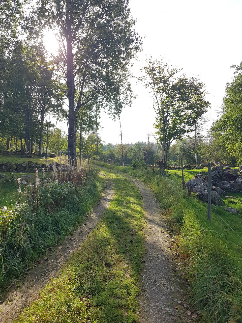
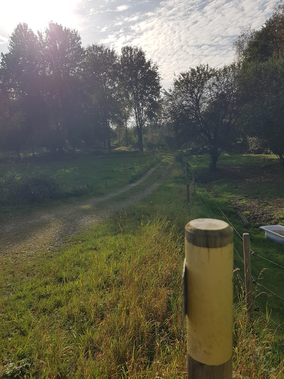
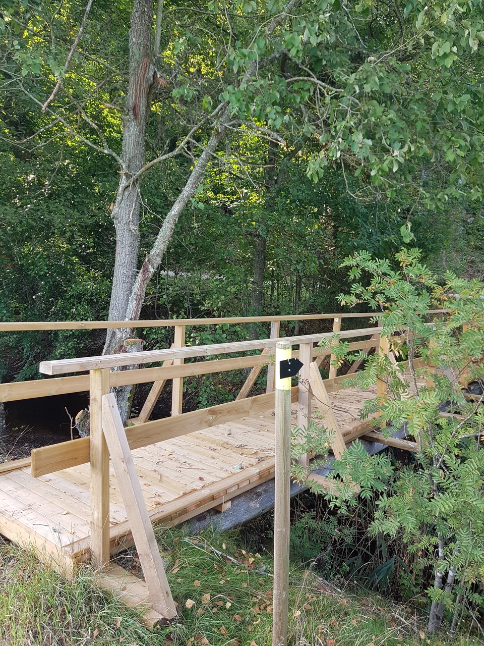
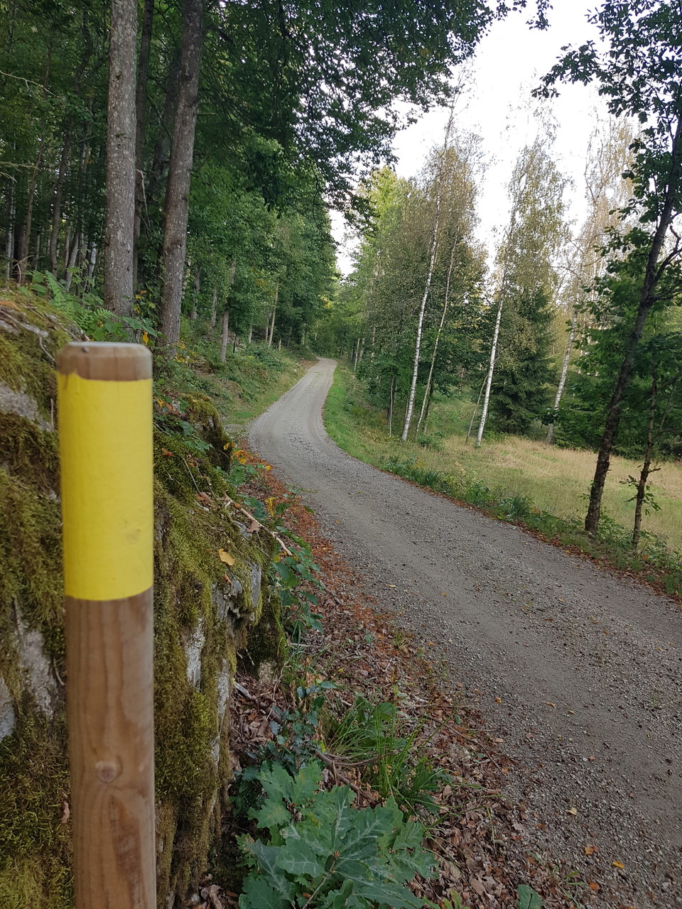
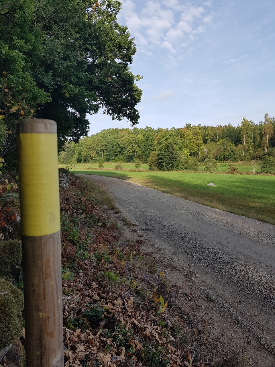
This “Valley” trail starts at Farabol school. Follow the yellow marker posts.
First walk north on the road Farabolsvägen until where the last shop in the village was located. Turn right onto a gravel road, you will pass long wooden buildings (former military stores) before rejoining Farabolsvägen and continuing south for about 700 m.
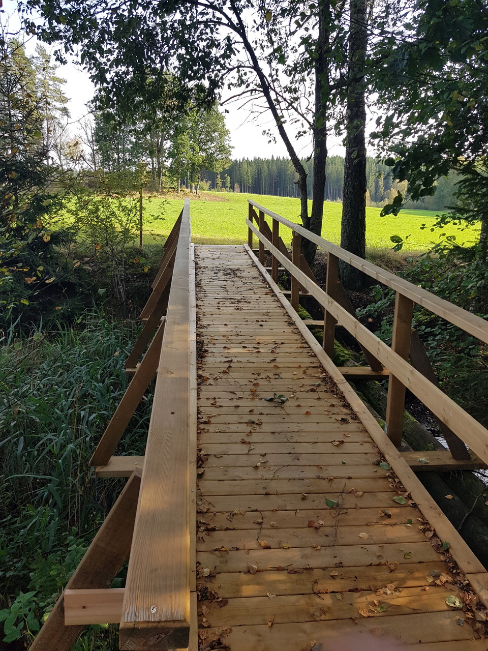
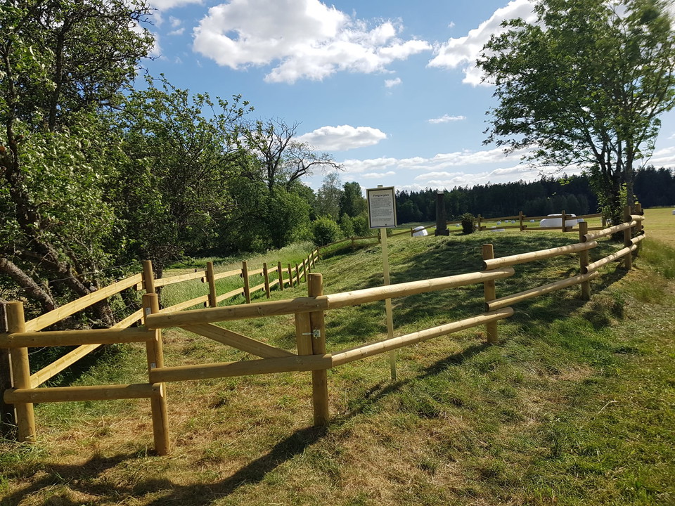
After the bridge across the river, turn right and follow the river down the valley, past farmland and forest. After a while, the trail turns right over a gravel ridge and crosses the river before running northwards to return along Betlehemsvägen. You will pass the plague cemetery before following Farabolsvägen north to return to the school.
Activities And Facilities
- Mountainbiking
- Biking
- Running
- Hiking
Surface
Paved road and gravel road. In the far south you walk on smaller paths over a gravel ridge and along a field.
Parking
At the Farabol school.
Directions
Follow the signs for Farabol.
Contact
Address
0454 - 930 00
Email address
Olofströms kommun
Please be aware that some of these texts have been automatically translated.
I’ve been here
I want to go here 4


Questions & Answers
Ask a question to other Naturkartan users.
Reviews
0 reviews
- 5 :
- 4 :
- 3 :
- 2 :
- 1 :
Users images
No user images yet. Be the first to share!
