
-
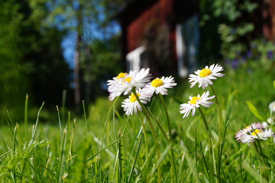
Photo: Foto: Katharina Svensson Vikström
Sala - Svartådalen Trail - Back to Västerfärnebo
- Hiking
- County: Västmanlands län
- 6717.62 km away from you
Trail details
- Length 3.9 km
- Difficulty Green - simple
Actions
Description
This is a tour description for those who hiked Svartådalen Trail from Västerfärnebo to Mattssons Tower and then wish to hike back to Västerfärnebo. This route follows dirt roads with beautiful surroundings back to Hedebo where you can reconnect to the Svartådalen Trail and hike back to Västerfärnebo.
The whole way back to Västerfärnebo from the parking spot at Mattssons Tower is 8 km long and takes about 2 hours of active walking time.
Along the way, you pass, among other things, Lindsjön lake where you can take a cooling swim in the lake.
Note that this is only a tour suggestion and not a marked trail. You will need to use Outdoor Map's map function for navigation.
Activities And Facilities
- Hiking
Facts
Note that this is only a tour suggestion and not a marked trail. Use Outdoor Map's map function for navigation.
Downloads
I’ve been here 1

I want to go here 3

Questions & Answers
Ask a question to other Naturkartan users.
Reviews
0 reviews
- 5 :
- 4 :
- 3 :
- 2 :
- 1 :
Users images
No user images yet. Be the first to share!
