
Sillre älvstig
- Hiking
- County: Västernorrlands län
- 6581.44 km away from you
Trail details
- Length 1.4 km
Actions
Description
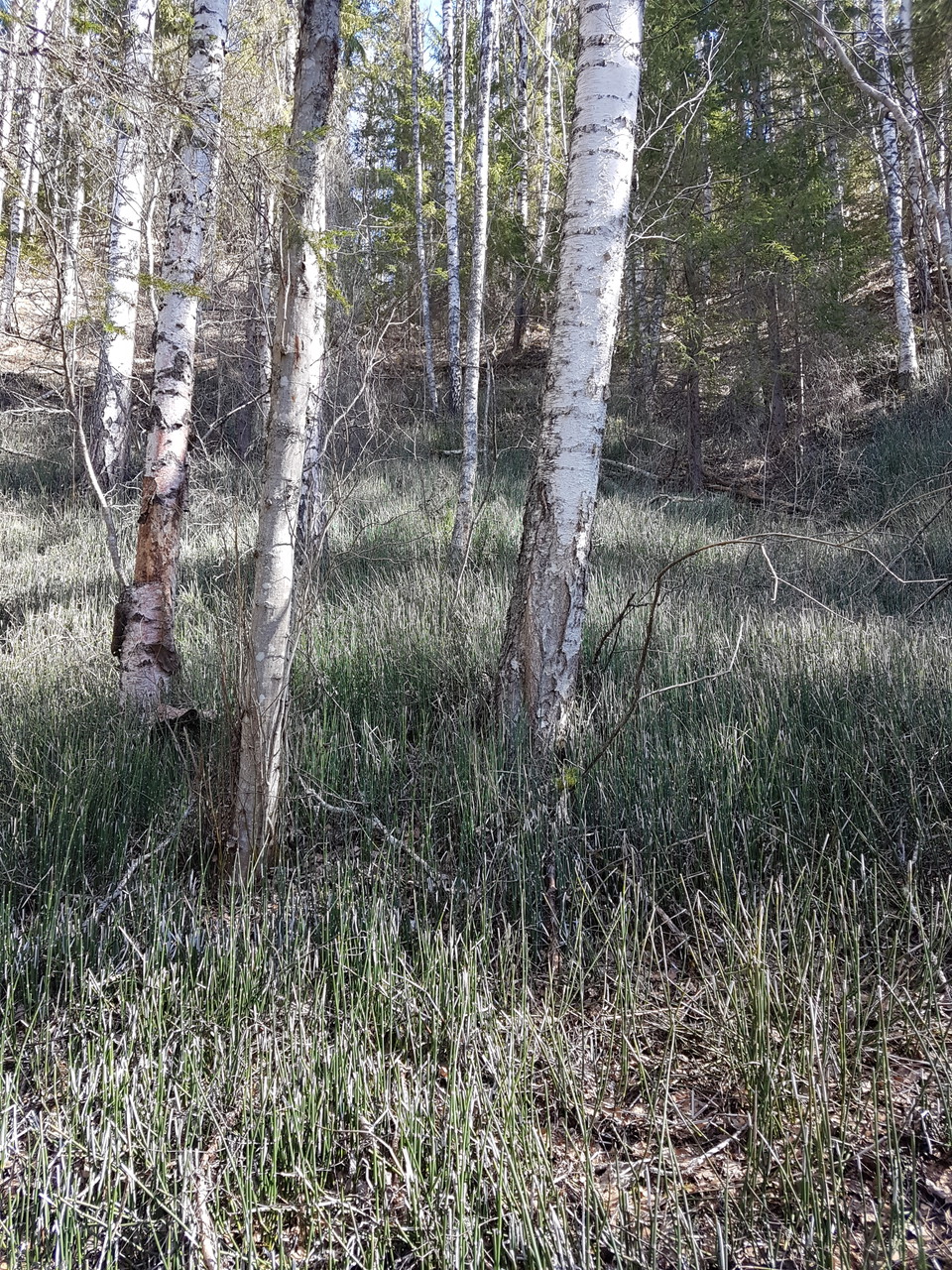
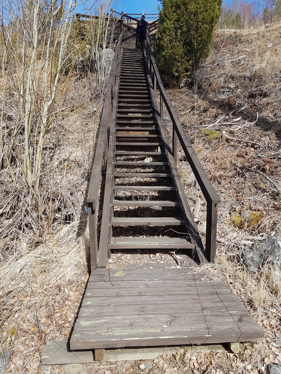
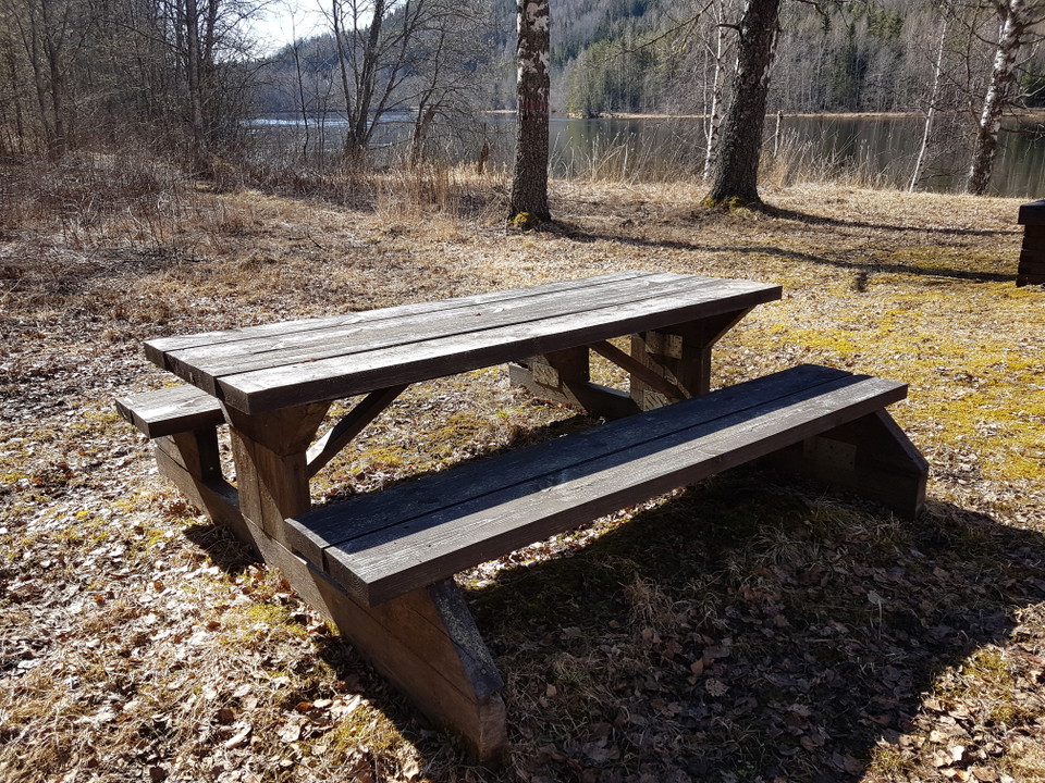
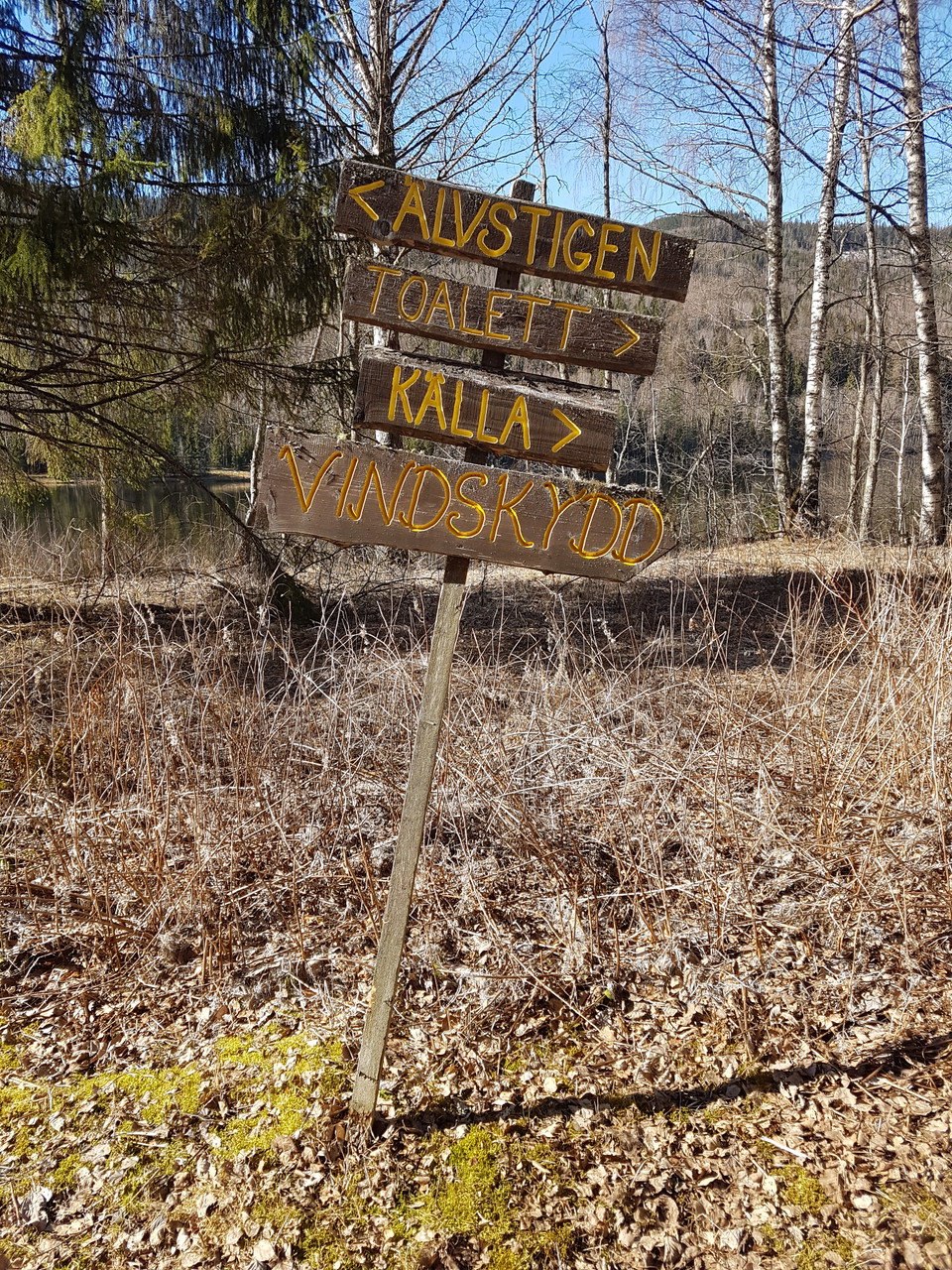
Just northwest of Sillre along road 86 is Utsiktens turistgård. From there there is a nature trail, the river trail, down to the Indalsälven. Along the river path there are signs with pictures and descriptions of some of the plants found there. The path goes through lush ravines down to a natural meadow by the river. There is a resting place for hikers and canoeists. The view of the valley at the tourist farm is breathtaking and a popular photo opportunity.
Activities And Facilities
- Hiking
Contact
Email address
Kontakt Sundsvall
Organization logotype

Please be aware that some of these texts have been automatically translated.
I’ve been here
I want to go here 2


Questions & Answers
Ask a question to other Naturkartan users.
Reviews
0 reviews
- 5 :
- 4 :
- 3 :
- 2 :
- 1 :
Users images
No user images yet. Be the first to share!
