
-
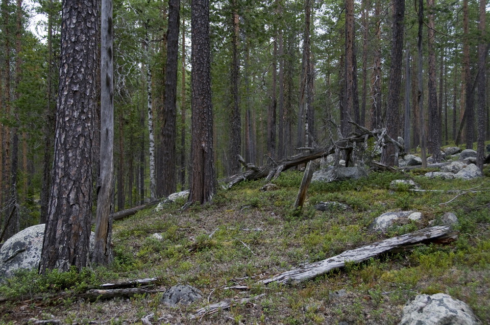
Photo: Andreas Garpebring
Sörliden
- Nature reserve
- County: Västerbottens län
Actions
Description
Within the area there is a bog that is hydrologically undisturbed but bears traces of previous management in the form of three dilapidated hay barns and remains of bog huts. The slope above the bog is dominated by dense natural pine forest of lingonberry type. There are at least three generations of pine with up to 350-year-old coarse-branched overhangs and plenty of coarse dry trees, high stumps and windfalls.
Activities And Facilities
- Nature reserve
Directions
The reserve is located on the border of Lycksele and Norsjö municipalities, about 30 km north of Åmsele in the southwest slope down to Kalvmyran.
Contact
Email address
Länsstyrelsen Västerbotten
Organization logotype

Please be aware that some of these texts have been automatically translated.
I’ve been here 2


I want to go here
Questions & Answers
Ask a question to other Naturkartan users.
Reviews
0 reviews
- 5 :
- 4 :
- 3 :
- 2 :
- 1 :
Users images
No user images yet. Be the first to share!
