
-
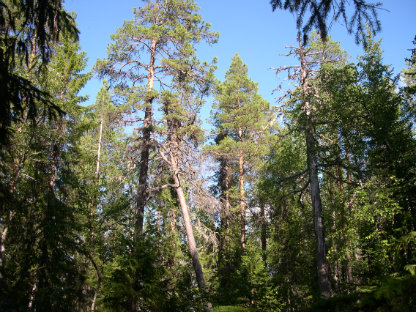
Photo: Per-Anders Blomqvist -
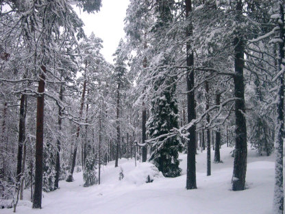
Photo: Per-Anders Blomqvist
Lill-Skorvliden
- Nature reserve
- County: Västerbottens län
Actions
Description
The reserve rises from the banks of the Ume River up to 410 meters above sea level and consists of the southern, western and eastern slopes of the mountain. The forest on the mountain consists of a, often quite dense, coniferous mixed natural forest dominated by spruce on the northern slope, while pine dominates on the western and southern slopes. The whole area is clearly affected by fire and there is plenty of charred dead wood and trees with fire scars.
Activities And Facilities
- Nature reserve
Directions
The reserve is located about 20 km northwest of Lycksele, along road E 12.
Contact
Email address
Länsstyrelsen Västerbotten
Organization logotype

Please be aware that some of these texts have been automatically translated.
I’ve been here 1

I want to go here 1

Questions & Answers
Ask a question to other Naturkartan users.
Reviews
0 reviews
- 5 :
- 4 :
- 3 :
- 2 :
- 1 :
Users images
No user images yet. Be the first to share!
