
Kärleksstigen
- Hiking
- Walking
- Mountainbiking
- Biking
- Running
- County: Västerbottens län
- 6479.31 km away from you
Trail details
- Length 2.0 km
- Time 20 min
- Difficulty Blue — medium
Actions
Description
Activities And Facilities
- Walking
- Mountainbiking
- Biking
- Running
- Hiking
Surface
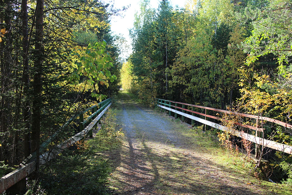
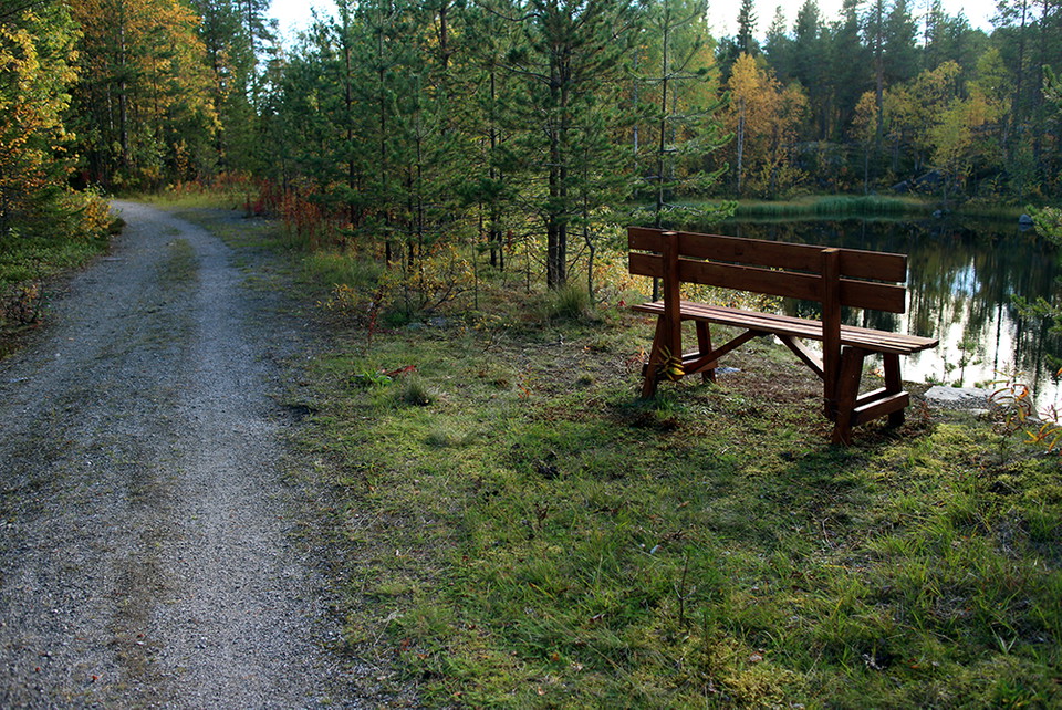
Gammal skogsbilväg blandat med grusad stig.
Hills
Small
Parking
Parkera vid infarten mot Miljöstationen närmast Kungavägen.
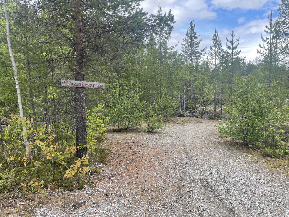
Vid E45 rekommenderar vi att ni svänger in vid Terminalvägen och parkerar där kanalstigen passerar. Den ses som en grusväg i skogen.
Directions
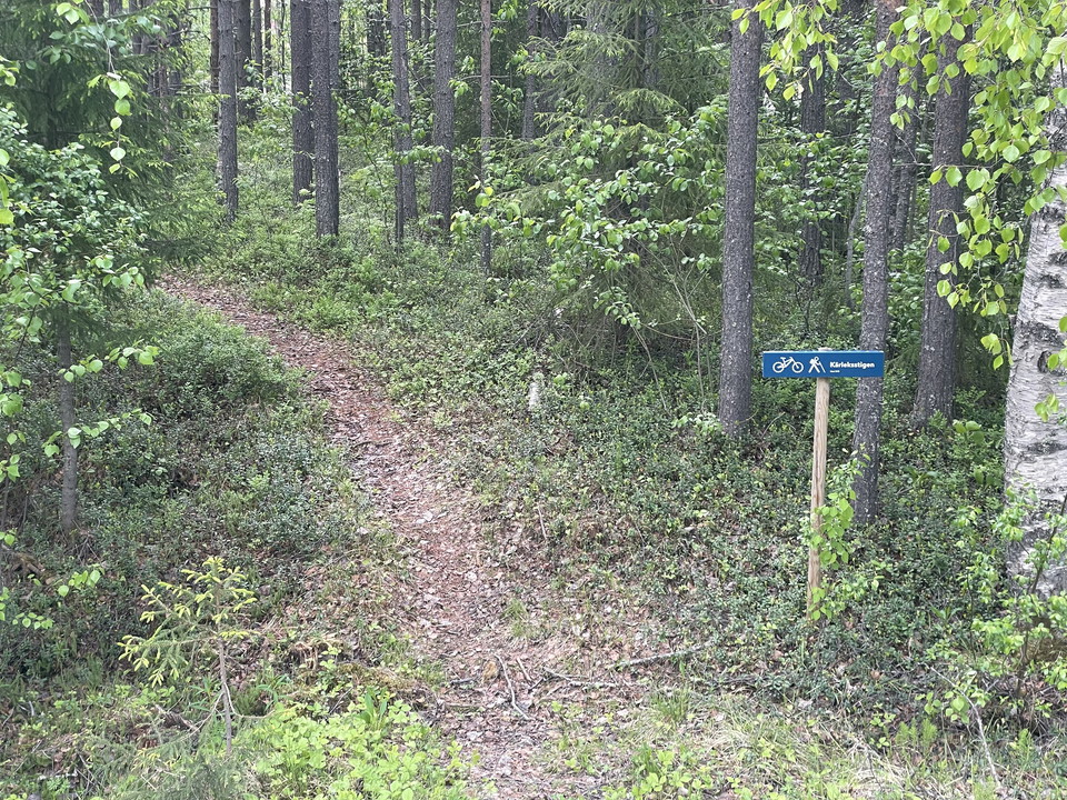
The trail starts right next to the entrance to the environmental station on Kungavägen. Here is a sign inside the forest glade, where the trail starts.
Alternative start is up on Kungavägen at the pedestrian and cycle path, which however is without a sign where the path starts.
Kärleksstigen starts / ends at the E45 road where Terminalvägen goes towards Stensele. Here you pass under the railway viaduct and over the railway where the snowmobile trail also runs in winter.
Where Kärleksstigen starts/ends, Kanalstigarna takes over.
Contact
Address
Storumans kommun Blå vägen 242 923 81 Storuman
Email address
Madeleine Rinman
Please be aware that some of these texts have been automatically translated.
I’ve been here 5



I want to go here 2

Reviews
—
0 reviews
- 5 :
- 4 :
- 3 :
- 2 :
- 1 :
Questions & Answers
Ask a question to other Naturkartan users.
Users images
Share your photos of the place!
