• Västerrudsleden går i huvudsak genom kuperad skogsmark
    Västerrudsleden går i huvudsak genom kuperad skogsmark
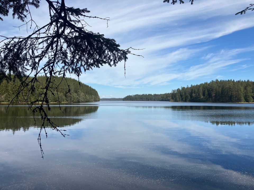
  • Längs med Västerrudsleden finns flera fina utblickar mot sjön Alstern
    Längs med Västerrudsleden finns flera fina utblickar mot sjön Alstern

Västerrudsleden

  • Hiking
of 5 stars

Trail details

  • Length 15.9 km
  • Difficulty Blue — medium

Actions

  • Directions

Description

Hiking trail between Ångsågen and Malmtorget that runs long distances along the shores of Alstern and through areas of old forest. 3.5 km of the trail runs along public roads. Northwest of Alstern, the trail passes parts of the large dune field area. Some parts can be classified as difficult due to steep slopes.
Orange markings on posts and trees

Weather forecast (at 12:00)

Loading…

Get here by public transport

Activities And Facilities

  • Hiking

Contact

Email address

Maila Länsstyrelsen Värmland

Please be aware that some of these texts have been automatically translated.

I’ve been here 1
I want to go here 5

Reviews

—

0 reviews

of 5 stars

5 :
0.0%
4 :
0.0%
3 :
0.0%
2 :
0.0%
1 :
0.0%

Questions & Answers

Ask a question to other Naturkartan users.

Users images

Share your photos of the place!

Naturkartan

Open this in the app