
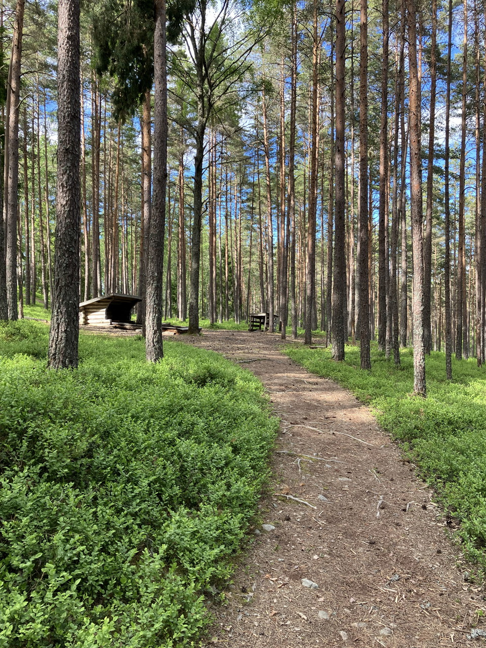
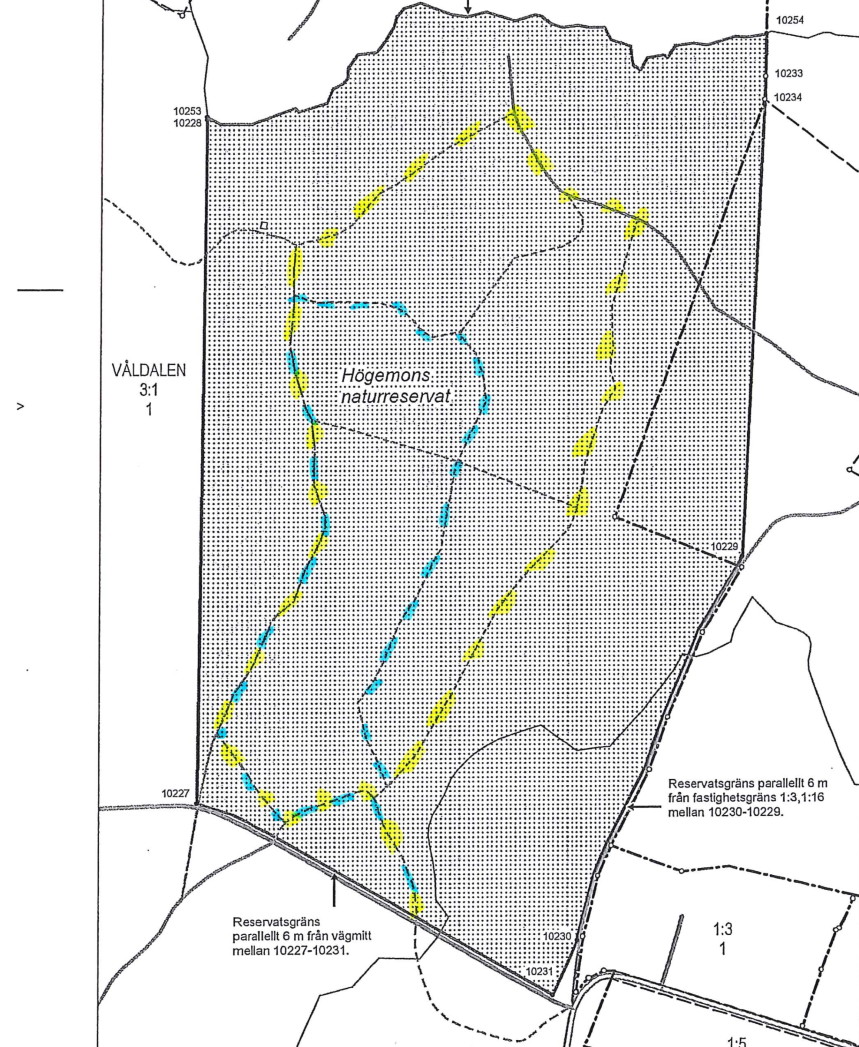
Led Högemon
- Hiking
- County: Värmlands län
- 6598.61 km away from you
Trail details
- Length 3.2 km
Actions
Description
Activities And Facilities
- Hiking
Contact
Email address
Maila Länsstyrelsen Värmland
Organization logotype
Please be aware that some of these texts have been automatically translated.
I’ve been here
I want to go here 5

Reviews
—
0 reviews
- 5 :
- 4 :
- 3 :
- 2 :
- 1 :
Questions & Answers
Ask a question to other Naturkartan users.
Users images
Share your photos of the place!
