
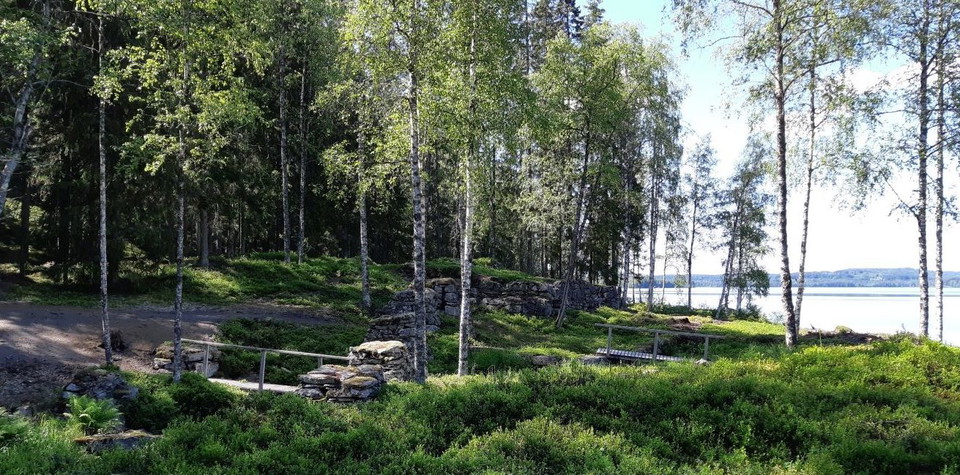


Peckererundan
- Hiking
- County: Värmlands län
- 6542.57 km away from you
Trail details
- Length 3.0 km
- Time 1 h
- Difficulty Blue — medium
Actions
Description
Activities And Facilities
- Hiking
Facts
SERVICE: The trail is prepared until June 1.
CONTACT: Info point Sunne library, turist@sunne.se, +46 (0)565-164 00
RESPONSIBLE: Sunne municipality
Communications
No public transport
Directions
From the E45 at Rottneros, turn off towards Ski Sunne and Gräsmark. After about 21 km, at the crossroads in Trötvik, drive towards Arvika and Charlottenberg. After about 9 km, turn left towards Mangen, Tiskaretjärn and hiking trail. Follow blue sign with text Gruvrundan.
Contact
Email address
Kontakta VisitVärmland
Organization logotype

Please be aware that some of these texts have been automatically translated.
I’ve been here 5



I want to go here 3

Reviews
—
0 reviews
- 5 :
- 4 :
- 3 :
- 2 :
- 1 :
Questions & Answers
Ask a question to other Naturkartan users.
Users images
Share your photos of the place!
