
-
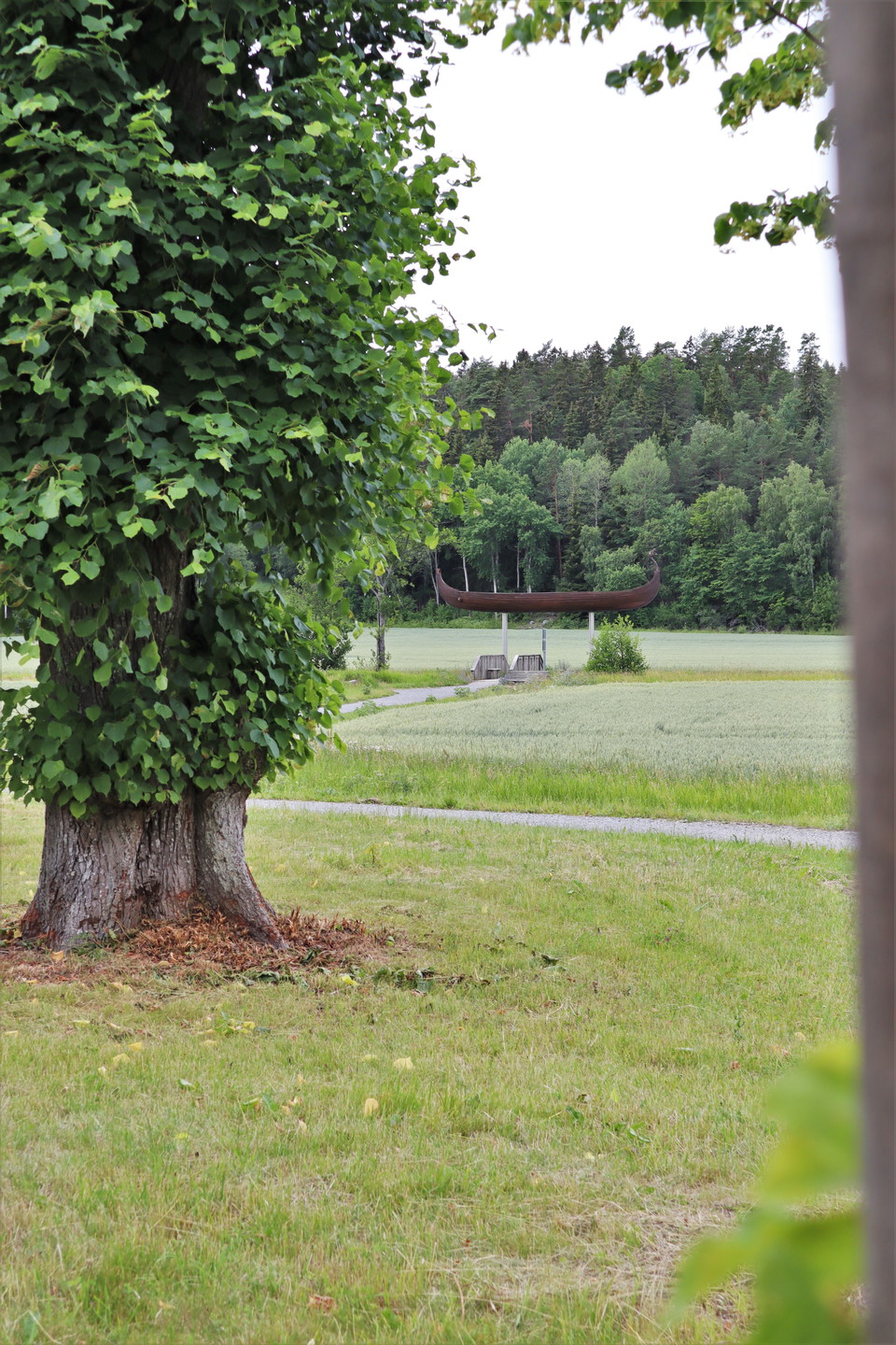
På denna etapp kommer du promenera utmed Väsbyån som är resterna av den gamla farleden mellan Edssjön och Mälaren som fanns så sent som på vikingatiden. På bilden ser du skeppet Åfare som är placerad på den höjd där vattenytan låg över nuvarande mark då det begav sig.
Photo: Upplands Väsby kommun -
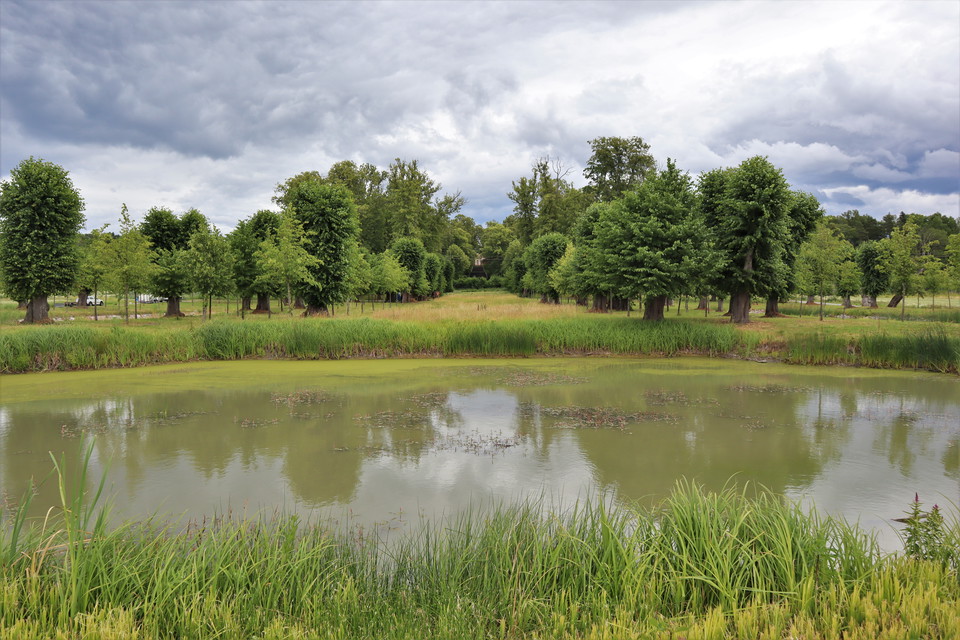
Du kommer också att passera barockparken som tillhör slottet Stora Väsby.
Photo: Upplands Väsby kommun
Upplevelsestråket - Stora Wäsby - 7,2 km
- Hiking
- Stroller accessible
- County: Stockholms län
- 6815.61 km away from you
Trail details
- Length 7.2 km
- Difficulty Blue - medium
Actions
Description
With Upplevelsestråket you can get close to nature and experiences in the municipality in an easy way. The trail runs along the old waterways between Saltsjön and Mälaren, which were already used for transportation in Viking times.
The route is divided into twelve stages and has a total length of just over 40 kilometers.
Here you can walk in a baroque park from the late 17th century, designed by the great architects of the time according to French patterns. The park, with lime trees of Dutch origin, is part of the Stora Wäsby monument. The baroque park has been restored to preserve its unique character for the future.
The experience trail is a collaborative project between Upplands Väsby municipality, associations and landowners.
In the map guide you will find information about the stages and attractions of the Experience Trail.
Activities And Facilities
- Hiking
Accessibility
- Stroller accessible
Communications
From the bus square, you can walk north from Upplands Väsby station through Järnvägsparken to reach Barockparken. Benches are placed along the route. The route is relatively flat. The alternative is to take the bus to Hammarby Church and then walk along the slightly more hilly road towards Barockparken.
Directions
From the bus square, you can walk north from Upplands Väsby station through Järnvägsparken to reach Barockparken. Benches are placed along the route. The route is relatively flat. The alternative is to take the bus to Hammarby Church and then walk along the slightly more hilly road towards Barockparken.
Contact
Address
Ring: 08- 590 970 00 Felanmälan natur: ekontoret.upplandsvasby.se
Email address
Henrik de Joussineau
Organization logotype

Please be aware that some of these texts have been automatically translated.
I’ve been here 4


I want to go here 14
Questions & Answers
Ask a question to other Naturkartan users.
Reviews
0 reviews
- 5 :
- 4 :
- 3 :
- 2 :
- 1 :
Users images
No user images yet. Be the first to share!
